
At the Ted Stevens Anchorage International Airport, a traveler unfolds a map and notices how few lines run across it. Whole stretches of coast and tundra have no road at all, and the places on the far side of those gaps are reached by rail, by ferry or in a small plane. Getting around Alaska means mixing those options, and the right mix depends on which towns you want to see.
How do you get around Alaska?
You get around Alaska by combining highways, the Alaska Railroad, ferries, small planes and, for many visitors, a cruise ship, because no single mode reaches everywhere. The state is by far the largest in the country and thinly populated, so the distances between the places on your list shape the trip more than anything else. Planning starts with a simple choice: do you want the coast, the interior, or both?
The independent land tour is the classic alternative to a cruise. You fly into Anchorage and then travel by railroad, or you rent a car or a motorhome and drive the highways. A second version trades the road for the water: take the marine highway, or fly into one of the Inside Passage towns and work from there.
By road
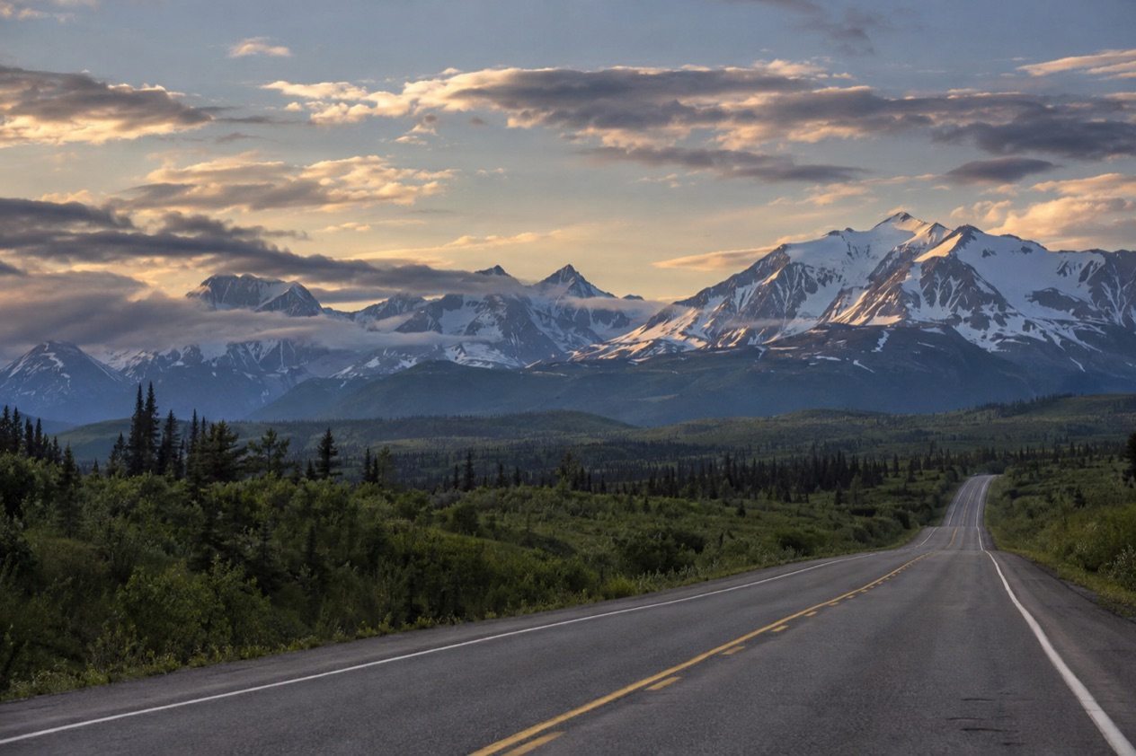
Travelers from the contiguous states can drive to Alaska on the Alaska Highway through Canada, which is paved and maintained year-round. Once you are in the state, the highways connect Anchorage with much of the interior, but they stop well short of the coasts and the far west. A drive here is a series of long, separate legs rather than a web of roads you can improvise on.
One restriction catches people out. Many rental car companies prohibit their vehicles on the Dalton, Denali, Steese and Cassiar Highways and on the Nabesna and McCarthy Roads, and insurance may not cover damage there. If one of those roads is on your wish list, read the rental agreement before you choose a company.
The road to Whittier has its own rhythm. The Anton Anderson Memorial Tunnel, which links the Seward Highway to the town, is a one-lane tunnel shared with train tracks, so traffic waits for its turn, sometimes for up to 45 minutes. Check the tunnel schedule for the specific times before you set out.
Checking conditions on Alaska 511
The Alaska Department of Transportation runs the Alaska 511 website, and it is the tool to open before any long drive. Roads are graded as Good, Fair, Difficult, Very Difficult, Hazardous, Road Closure or No Winter Maintenance, so a glance at the map tells you what the surface is like and whether a stretch is closed. The department also publishes incidents and closures reported by drivers through Waze, a free data exchange between Waze and government agencies.
Camera icons on the map open live views of the road, and you can add them to a My Cameras list to check again later. If you create an account and log in, you can save routes and receive notifications, which are sent by default by text message on weekdays from 6 AM to 6 PM. On a trip with several long driving days, a saved route saves a lot of repeated searching.
By cruise or day cruise
A cruise shows you coastal mountains, glaciers, marine wildlife and towns, but it misses the highest mountains, the big land mammals and the vast interior. A conventional cruise on a cross-Gulf itinerary, with a land tour added, covers more of the state than a round trip from one port. A small ship goes further into the details, getting closer to glaciers and wildlife and entering smaller ports and bays where big ships cannot go.
A day cruise is another way to see the water. It lets you watch more marine wildlife and tidewater glaciers than you would on a one-week conventional cruise, and you get closer to everything. For excursions on land and water, plan on one to two a day and budget $100 to $200 for each.
When to go
Days are long and temperatures comfortable anytime from May to September. Hotel rates are lower in the shoulder seasons, which run from mid-May to mid-June and in early September.
Which towns have no road access?
A great many Alaska communities have no road to the outside, and that includes the state capital. Juneau is not connected by road to the rest of the North American highway system, so visitors and legislators alike arrive by water or by air. The same is true across most of Southeast Alaska and a large part of the west.
Southeast Alaska and the Inside Passage
In Southeast Alaska only three communities have direct road connections to the contiguous North American road system: Haines, Hyder and Skagway. Every other town in the region depends on the Alaska Marine Highway. That is the reason ferries are part of daily life here, carrying residents, vehicles and supplies as well as travelers.
The region sits inside the Tongass National Forest, the largest national forest in the United States, and the water is the natural highway between its islands and fjords. A trip here is built around a chain of arrivals by boat or plane, with each town a separate stop. Skagway and Haines serve as the road gateways, which makes them useful hinges if you want to combine a drive with a ferry.
Western Alaska and the bush
In Western Alaska, 82% of towns are not connected by roads. Bush flying is how food, mail and medical care reach them, which tells you how ordinary a small plane is out there. For a visitor, these communities are reached by air, and a flight is the journey itself rather than a transfer to something else.
Bush flying means aircraft operations in remote wilderness areas without prepared landing strips or runways. The planes are fitted with tundra tires, floats or skis so they can land on rough ground, water, snow and ice. The tradition goes back to 1924, when Noel Wien made the first successful bush flight to the mining camp at Livengood, a trip that took under an hour when the dog sled trail would have taken several days in winter.
That summer Wien made 34 flights for the roughly 250 men at the camp, bringing supplies and services. In 1947, Celia M. Hunter worked as one of the first flight attendants on flights to Nome and Kotzebue, which were the first tourist trips by air in the Alaskan bush. Visitors flying to the west today follow a route that began with those trips.
The far north
Utqiaġvik, formerly known as Barrow, is the northernmost city in the United States and sits on the North Slope. The Arctic National Wildlife Refuge, the world’s largest wildlife refuge at 16 million acres, is managed by the United States Fish and Wildlife Service. Both belong to the part of the state where the map is nearly empty, and the sense of distance is part of what you came to see.
How do trains, ferries and small planes fit together?
They fit together as links in a chain: the railroad carries you along the main corridor from Anchorage, the ferries cover the coastal communities, and small planes reach whatever is left. Often one leg ends where the next begins, in a port or at a station. Fitting them together is mostly a matter of deciding where each one hands you off.
The Alaska Railroad
The railroad runs several named trains out of Anchorage. The Coastal Classic goes to Seward and the Denali Star goes to Fairbanks, and both offer GoldStar Service. On a clear day the Denali Star route affords views of Denali, the tallest mountain in North America at 20,310 feet.
The Glacier Discovery Train links the line to two outings. Its passengers can take a day cruise in Prince William Sound from Whittier, or explore the backcountry at Spencer Glacier. That makes it a way to combine the rails with the water in a single day.
Two trains serve the backcountry by flagstop, which means they stop where passengers wave them down. The Hurricane Turn Train offers flagstop access between Talkeetna and Hurricane for locals and visitors, and in winter months it makes its round trip to Hurricane from Anchorage. The Aurora Winter Train provides flagstop service in the backcountry area north of Talkeetna.
The Alaska Marine Highway
The Alaska Marine Highway System covers 3,500 miles of coastline and provides ferry service to over 30 communities, from Bellingham, Washington to Dutch Harbor in the Aleutian Chain. One route runs from Bellingham to Haines through the Inside Passage, and reservations should be made early because it fills up fast. From Haines, a road connection to the rest of the continent is there for travelers who want to continue by car. Passengers without vehicles check in earlier at two ports than at the rest.
| Port | Check-in before departure (passengers without vehicles) |
|---|---|
| Bellingham | 2 hours |
| Juneau | 2 hours |
| All other AMHS ports | 1 hour |
Walk-on passengers may bring up to 100 pounds of hand-carried baggage. Animals are restricted to the car deck and must be in an approved carrier or in a vehicle with an adult passenger. Kayaks and canoes may be carried aboard, and small inflatable boats are allowed if they weigh less than 300 pounds and do not exceed 18 feet in length and 3 feet in width.
Small planes and the White Pass train
Where neither rails nor ferries go, the small plane takes over, and in the roadless west it is the normal way to travel. Flying into one of the Inside Passage towns is also an option for an independent land tour, a way of starting on the coast without a ferry. At Anchorage you fly in through Ted Stevens Anchorage International Airport, where the rail and road legs of most trips begin.
One more rail option connects Alaska with Canada. The White Pass and Yukon Route train operates from Skagway to Carcross, Yukon, from May to early October. Skagway is one of the three Southeast communities with a road link, so it works as a place where a ferry, a highway and a train all meet.
Good to know before you go
On the Alaska Marine Highway, only U.S. currency is accepted for goods or services, though credit cards drawn on foreign banks work. Crewmembers are State of Alaska employees and are prohibited by state law from accepting tips. For flights, travelers may need a Real ID or another acceptable ID.
Alaska observes all federal holidays except Columbus Day, and adds Seward’s Day on the last Monday in March and Alaska Day on October 18. Alaska Day commemorates the formal transfer of Alaska from Russia to the United States at Fort Sitka in 1867. One local note: Homer Brewery’s fresh ales are only available in the Homer area.
Sources
- Alaska.org, best way (https://www.alaska.org/advice/best-way-to-see-alaska), checked October 11, 2026
- Alaska Railroad, Our trains (https://www.alaskarailroad.com/ride-a-train/our-trains), checked October 11, 2026
- Alaska Department of Transportation, Alaska Marine Highway System, Alaska Marine Highway System (https://dot.alaska.gov/amhs/index.shtml), checked October 11, 2026
- Wikipedia, Bush flying (https://en.wikipedia.org/wiki/Bush_flying), checked October 11, 2026
- Alaska 511 (https://511.alaska.gov/), checked October 11, 2026
- Wikipedia, Alaska (https://en.wikipedia.org/wiki/Alaska), checked October 11, 2026
- Ted Stevens Anchorage International Airport (https://www.ancairport.com/), checked October 11, 2026
- Wikivoyage, Alaska (https://en.wikivoyage.org/wiki/Alaska), checked October 11, 2026