
Somewhere past the last Anchorage off-ramps, the Chugach Mountains close in on one side and the road starts to climb, and the question comes up in the passenger seat: where does this thing actually go? The Glenn Highway is the road that leads out of Anchorage toward the Matanuska Valley and the interior, a route with a glacier, a historic village and a long mountain pass along the way.
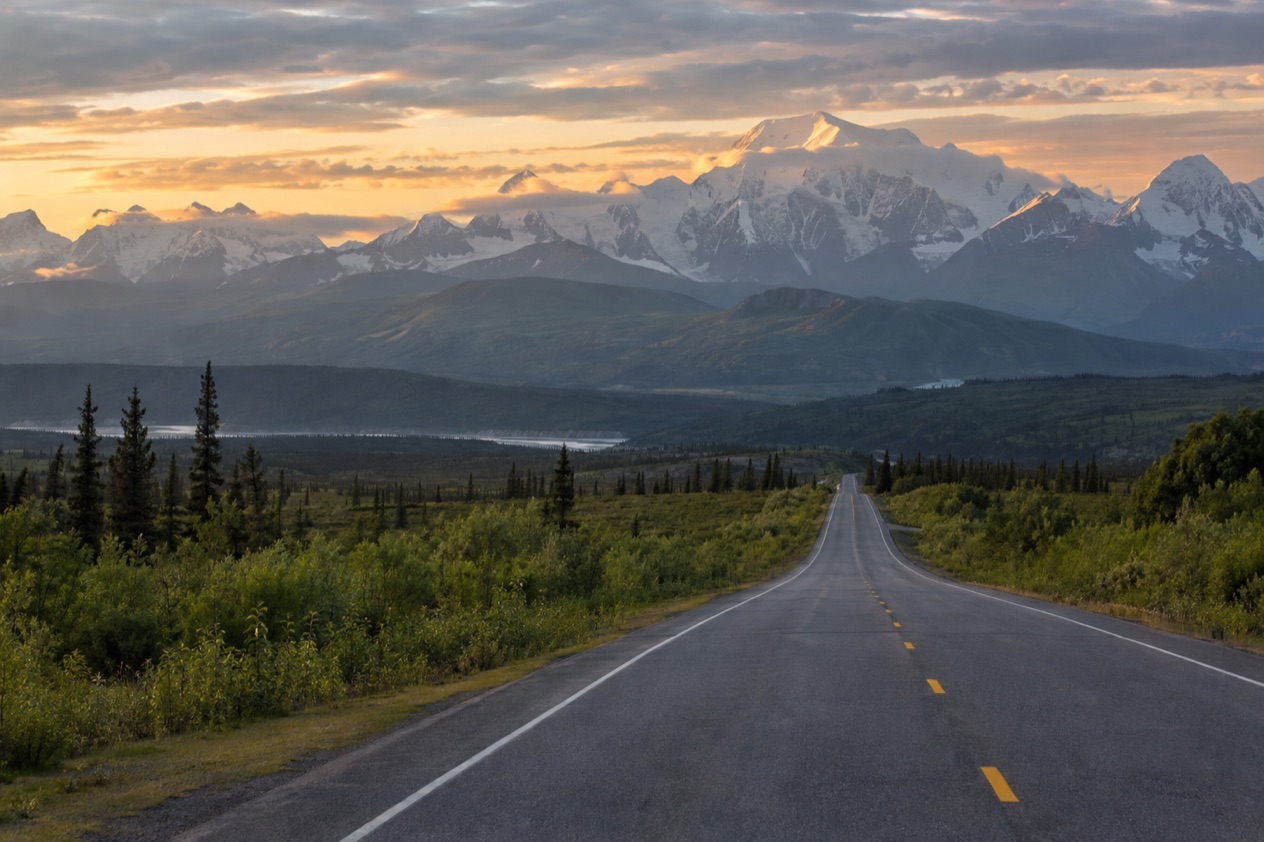
What is the Glenn Highway?
The Glenn Highway is the main road running from Anchorage up through the Matanuska Valley to Glennallen, where it meets the Richardson Highway. It begins near Merrill Field in Anchorage, and its story is older than most of the pavement under you. It started in the 1930s as the Palmer Road, built to reach the agricultural colony at Palmer, a farming settlement that still shapes the valley today.
During World War II the road was pushed on to Glennallen as part of a military road and base building program, the same effort that gave Alaska the Alaska Highway. The name honors Captain Edwin Glenn, who led an 1898 U.S. Army expedition looking for an Alaska route to the Klondike gold fields. So the highway carries two layers of history, one of homesteaders and one of soldiers and prospectors.
The numbers that frame the route
Three figures give you the shape of the road. The highway itself is a stretch of road that ends at Glennallen, while the Tok Cut-Off, if you count it as part of the Glenn, makes the road noticeably longer. The high point is Eureka Summit, which sits on the divide between the Chugach and Talkeetna mountain ranges.
| Measure | Value |
|---|---|
| Length, Anchorage to Glennallen | 179 miles |
| Length including the Tok Cut-Off | 328 miles |
| Highest point, Eureka Summit | 3,332 feet |
| Freeway stretch, north Anchorage to Wasilla | about 38 miles |
The freeway section
The first part of the Glenn is not a country road at all. Starting in north Anchorage, it runs as freeway, continues onto the Parks Highway at the interchange and ends in Wasilla. This is the longest stretch of freeway in Alaska, and it also happens to be the only road access to Anchorage for most of the state, with the exception of the Kenai Peninsula, which is reached on the Seward Highway.
In practice that means the highway works as the front door of Anchorage for anyone arriving by road from the Matanuska Valley and beyond. The Parks Highway passes through Wasilla, so this is also the junction where drivers split off toward the Parks corridor.
Where does it go?
The Glenn Highway leads from Anchorage past Eklutna, Palmer and Matanuska Glacier to Glennallen, and each stop has its own character. Taken in order, it is a road of small, specific destinations rather than one long view.
Eklutna
Eklutna is the first stop, 24 miles northeast of Anchorage and near Mile 26 of the Glenn Highway. It is also near Milepost 142 of the Alaska Railroad, and it sits 2 miles from the mouth of the Eklutna River at the head of the Knik Arm of Cook Inlet. It is the oldest inhabited location in the Anchorage area, first settled more than 800 years ago.
The draw is the Eklutna Cemetery, now a historical park, with its brightly colored spirit houses. They are a melding of Orthodox Christianity and native practices, and the cemetery has been in use since 1650. It is probably the most photographed graveyard in Alaska, and the small painted houses standing among the trees are the reason why.
Palmer and Wasilla
Palmer and Wasilla lie 45 minutes from downtown Anchorage. To reach Palmer, you take the Glenn Highway north and then the off-ramp toward Palmer. The valley is farm country, and in August or early September the you-pick farms in the area are open. The Alaska State Fair takes place in late August, so the valley is at its liveliest at the end of summer.
Northern lights can be seen in the Palmer and Wasilla area from late August through mid-April, a chance rather than a promise. Independence Mine Historical State Park is set in Hatcher Pass in the Talkeetna Mountains between Willow and Palmer, a side trip for anyone interested in the region’s gold mining past.
Matanuska Glacier
Matanuska Glacier is an hour beyond Palmer, near the Glenn Highway in Glacier View, about 100 miles northeast of Anchorage. It is a valley glacier 27 miles long and 4 miles wide, and it is the largest glacier accessible by car in the United States. It flows about 1 foot per day, slow enough to be invisible, fast enough that the ice is always changing.
The glacier sits in Matanuska Glacier State Recreation Site, an Alaska State Park with trails and a small campground. Access has a catch. A private entity affiliated with Cook Inlet Region, Inc. charges a toll on the only bridge connecting the recreation site to Alaska Route 1, and the private land owner requires $100 tours for first-time visitors.
| Item | Amount | Who pays |
|---|---|---|
| Tour on the private land at Matanuska Glacier | $100 | First-time visitors |
Glennallen and the end of the road
The highway ends at Glennallen, where it joins the Richardson Highway. On the way, the road crosses Eureka Summit at 3,332 feet, on the divide between the Chugach and Talkeetna ranges. Anyone continuing past Glennallen on the Tok Cut-Off is driving a stretch that some count as part of the Glenn, which brings the total length to 328 miles.
What do you need to know before you drive it?
Before you drive the Glenn Highway, the most useful thing to know is how to read current road conditions, which Alaska 511 provides. The Alaska Department of Transportation runs the site, and it partners with Waze to publish Waze-reported incidents and closures there.
Reading the conditions
Alaska 511 sorts roads into categories: Good, Fair, Difficult, Very Difficult, Hazardous, Road Closure and No Winter Maintenance. A highway that climbs to a mountain divide like Eureka Summit is the kind of road where checking those labels before you leave makes sense, since a category tells you more than a glance at the sky from the parking lot.
The site also has road cameras. On the map page, you click a camera icon and then the My Cameras button in the camera popup to add it to your list. On the camera page, the My Cameras option is under the three dots icon below the image.
Saving routes and getting alerts
Alaska 511 lets you create an account to save routes and receive notifications, and you must log in to save a route for future viewing. Route notifications are sent by default on weekdays from 6 AM to 6 PM via SMS.
Planning around the stops
The stops along the road set the rhythm of a day. Eklutna is close to the city, Palmer and Wasilla are 45 minutes from downtown Anchorage, and Matanuska Glacier is an hour beyond Palmer. That progression makes it natural to think of the road as a series of short legs, with the glacier as the farthest stop for most day trips.
At the glacier, remember that the bridge toll and the $100 tours for first-time visitors come from the private land owner, not from the state park. The state recreation site itself has trails and a small campground.
Good to know before you go
The Glenn Highway is a road of seasons, and the valley changes with them: you-pick farms in August or early September, the State Fair in late August, northern lights from late August through mid-April. The bridge toll at Matanuska Glacier is charged by a private entity, so a little cash or a card ready for that stop is a sensible habit. Before you set out, look at Alaska 511 for the road category and any closures.
Sources
- Wikipedia, Glenn Highway (https://en.wikipedia.org/wiki/Glenn_Highway), checked October 11, 2026
- Wikipedia, Matanuska Glacier (https://en.wikipedia.org/wiki/Matanuska_Glacier), checked October 11, 2026
- Alaska.org, dest palmer wasilla (https://www.alaska.org/destination/palmer-wasilla), checked October 11, 2026
- Wikipedia, Eklutna, Alaska (https://en.wikipedia.org/wiki/Eklutna,_Alaska), checked October 11, 2026
- Alaska 511 (https://511.alaska.gov/), checked October 11, 2026