
Somewhere past Glennallen, the pavement stops being the main character and the mountains of the Wrangell range start to crowd the windshield. That is the moment many travelers in Anchorage realize McCarthy is a different kind of trip. The short answer: you drive there, most of it on highways and the last stretch on gravel, and then you leave the car behind and cross a footbridge into town.
How do you get from Anchorage to McCarthy?
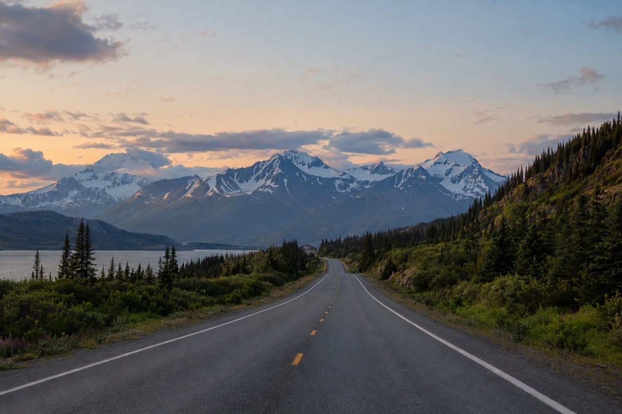
You get from Anchorage to McCarthy by road, a drive of approximately 7 hours that ends at a footbridge outside town. The route leaves Anchorage on the Glenn Highway, which begins near Merrill Field and runs to Glennallen on the Richardson Highway. From there the road continues to Chitina, and the Edgerton Highway gives way to the McCarthy Road spur that carries you the rest of the way.
The early stretch out of Anchorage is on a freeway. The freeway begins in north Anchorage, continues onto the Parks Highway at the interchange, and ends in Wasilla. It climbs to Eureka Summit, the highest point on the highway at 3,332 feet, where the Chugach and Talkeetna ranges meet. The road itself has a history: it began in the 1930s as the Palmer Road to reach the farming colony at Palmer, and it was completed to Glennallen during World War II in the same military building program that produced the Alaska Highway.
The Glenn Highway to Glennallen
The first leg takes you out of Anchorage on the long freeway stretch, which also serves as the only road connection to Anchorage for most of the state (the Kenai Peninsula is reached by the Seward Highway). Past Palmer the scenery turns bigger and emptier, with the Chugach Mountains on one side of the road and open valleys beyond.
At Glennallen the Glenn Highway ends at the Richardson Highway, the first major road built in Alaska. Its section from Valdez to Glennallen is an Alaska State Scenic Byway, though your route uses only a piece of the Richardson on the way to Chitina.
The McCarthy Road
The final 2 hours of the drive are on the McCarthy Road, a scenic, rugged road that is gravel. From the Wrangell-St. Elias Visitor Center area, Chitina is about 1 hour away, and from Chitina the road to Kennecott takes about 2 hours 45 minutes one way. Those park service times are the ones to plan around, because the gravel sets the pace.
The road ends at the footbridge. Cars are not permitted in McCarthy, so you park there and walk across into town. A private service bridge for vehicles was built downstream in 2004, but it is open only to residents, businesses and the National Park Service, which pay an annual fee.
The last step on foot
From the end of the road you can walk to McCarthy in about 15 minutes. During the tourist season, shuttle vans and buses run from the bridge to both McCarthy and Kennecott. McCarthy is a village of 107 people at the 2020 census, set at the foot of the Wrangell Mountains, so arriving on foot feels like part of the place rather than an inconvenience.
Which options are there?
Driving yourself requires a vehicle that is allowed on gravel.
Driving your own vehicle
If you own the car or truck, the trip is a single long day from Anchorage. Fairbanks travelers face a similar journey of approximately 8 hours. Because the last 2 hours are gravel, it is a drive for people comfortable with an unpaved road, and the park travel times between Chitina and Kennecott give you a realistic sense of how slowly that part goes.
Once you reach the end of the road, you park at the footbridge and walk. Nothing about the vehicle follows you into McCarthy, so pack what you need for the walk or the shuttle ride, and leave the rest in the car.
Renting a vehicle
Many Alaska car rental companies do not allow their vehicles on non-paved roads, and the McCarthy Road is gravel. Two Anchorage-based companies, Alaska 4×4 Rentals and Alaska Overlander, do allow their vehicles on such roads. That detail matters before you reserve anything, because a standard rental agreement can rule out the very road you plan to drive.
Flying within the park region
That is a reminder that parts of Wrangell-St. Elias are reached by air rather than road, and that the road side near McCarthy is only one way into a very large park. The table gives the one-way times the park lists between its service areas.
| Route | One-way time |
|---|---|
| Visitor Center to Chitina (McCarthy Road) | 1 hour |
| Visitor Center to Kennecott | 4 hours |
| Chitina to Kennecott | 2 hours 45 minutes |
| Visitor Center to Nabesna Road, Slana | 1 hour 30 minutes |
| Visitor Center to Nabesna Road, Kendesnii Campground | 2 hours 15 minutes |
| Visitor Center to Yakutat | 1 day by flying |
| Chitina to Yakutat | 1 day by flying |
What should you know before you travel from Anchorage to McCarthy?
Know that the trip ends on foot, that the last stretch is gravel, and that McCarthy and Kennecott are two different places a few miles apart. Planning around those three things covers most of what surprises first-time visitors.
McCarthy and Kennecott are not the same place
McCarthy is a census-designated place in the Copper River Census Area, inside Wrangell-St. Elias National Park and Preserve. Kennecott is the old mining village 5 miles from McCarthy, with Gold Rush relics still standing. The road must be passed through to reach Kennecott, and the shuttles from the footbridge serve both.
McCarthy itself has grown, from 28 people in 2010 to 107 at the 2020 census. It remains small and quiet, a place where the footbridge is the front door and the Wrangell Mountains fill the view.
The climate in the Wrangells
McCarthy has a subarctic climate, with cold winters and short, mild summers. Daily temperature swings are particularly large in spring and summer, up to about 30°F between the coolest and warmest part of a day, so mornings and afternoons can feel like different seasons. Layers suit that kind of day.
Planning the day around the road
Because the drive from Anchorage is approximately 7 hours before you even reach the footbridge, and the park lists 4 hours from its visitor center to Kennecott, think of the trip as the main event of the day rather than a quick approach. The footbridge walk of about 15 minutes, or a shuttle ride in the tourist season, completes it.
Choose a vehicle that is permitted on gravel before you set out, then park at the footbridge and walk across into town. That small fact shapes everything from how you pack to where you leave the car.
Good to know before you go
Shuttle vans and buses from the bridge run during the tourist season, so the last step depends on when you arrive.
Sources
- National Park Service, Wrangell – St. Elias National Park & Preserve, plan your visit: travel times between visitor services areas (https://www.nps.gov/wrst/planyourvisit/travel-times-between-visitor-services-areas.htm), checked October 11, 2026
- Wikipedia, McCarthy, Alaska (https://en.wikipedia.org/wiki/McCarthy,_Alaska), checked October 11, 2026
- Alaska.org, dest mccarthy (https://www.alaska.org/destination/mccarthy), checked October 11, 2026
- Wikipedia, Glenn Highway (https://en.wikipedia.org/wiki/Glenn_Highway), checked October 11, 2026
- Wikipedia, Richardson Highway (https://en.wikipedia.org/wiki/Richardson_Highway), checked October 11, 2026
To plan your stay
- Best Time to Visit Anchorage: Long Summer Days, Northern Lights, Weather by Month and Festivals
- Things to Do in Anchorage: Museums, Alaska Native Heritage, Chugach Trails and Day Trips
- Where to Stay in Anchorage: Downtown, Eagle River, Girdwood and Lodging Types
- Know Before You Go to Anchorage: Weather, Wildlife, Getting Around and Local Habits