
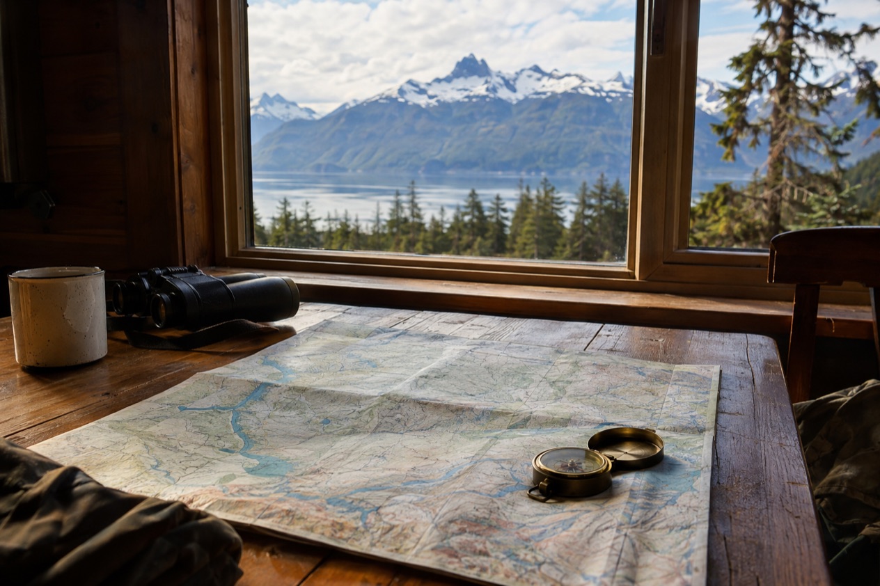
You are spreading a map across the kitchen table, and the first surprise is how little of it is connected by road. The capital sits on a coast that no highway reaches, the tallest mountain on the continent rises inside a park, and whole stretches of coastline are stitched together only by ferries and small planes. Alaska reads best as six regions, each with its own towns, parks and ways of getting around.
What are the regions of Alaska?
Alaska is usually split into Southeast, Southcentral, the Interior, the North Slope, the Alaska Peninsula and the Aleutian Islands, and each has a different landscape, a different climate and a different way of being reached. The state is by far the largest in the country at 586,000 square miles, yet it is sparsely populated, so the regions feel like separate countries strung together by water and air.
Think of the map as a sequence of habitats. Coastal rainforest gives way to mountains and boreal forest, then to frozen tundra and finally to a long chain of volcanic islands. Knowing which region a town belongs to tells you most of what you need to plan around it.
Southeast Alaska
Southeast is the Inside Passage region, with a land area of 35,138 square miles, and it holds Tongass National Forest, the largest national forest in the United States. Its largest cities are Juneau, Sitka and Ketchikan, and its protected areas include Glacier Bay National Park and Sitka National Historical Park.
It is also the only region in the state where the average daytime high stays above freezing through the winter months. That mild, wet coast is why the landscape here is forest down to the water’s edge, not the open tundra you find farther up the map.
Southcentral Alaska
Southcentral is the best-connected region in the state, served by the Port of Anchorage, Ted Stevens Anchorage International Airport and the Alaska Railroad. It takes in Cook Inlet, the Matanuska-Susitna Valley, the Kenai Peninsula, Prince William Sound and the Copper River Valley, with Anchorage as its major city.
The coast here is temperate rainforest and alder shrubland, while the interior side turns to boreal forest. Volcanoes frame the region on both edges. The Wrangell Volcanoes, including Mount Blackburn, Mount Sanford and Mount Wrangell, stand in the eastern part, and Mount Redoubt, Mount Iliamna and Mount Spurr are among the Cook Inlet volcanoes in the western part.
The Interior
Interior Alaska is the central region, roughly bounded by the Alaska Range to the south and the Brooks Range to the north. Fairbanks is its largest city and the second largest in all of Alaska, in a region whose estimated population is a little over a hundred thousand people.
This is the land of extremes. Fairbanks summers average in the low 60s, the record high there reaches the upper 90s, and winters average well below zero. The all-time low recorded in mid-winter is colder than anything visitors will ever feel at home, which tells you why the Interior feels so different from the damp coast.
The North Slope
The North Slope lies on the northern side of the Brooks Range, along the coasts of the Chukchi Sea and the Beaufort Sea of the Arctic Ocean. Utqiaġvik, formerly Barrow, is the northernmost city in the United States and sits here.
Most of the soil is permanently frozen, and only a surface layer of tundra thaws each season. The Arctic coastal plain has the densest concentration of birds in the Arctic, and whales, walrus, seals, caribou and moose live in the region. The Arctic National Wildlife Refuge and the National Petroleum Reserve–Alaska both lie within it.
The Alaska Peninsula and the Aleutian Islands
The Alaska Peninsula reaches about 497 miles to the southwest from the mainland and ends in the Aleutian Islands. It divides the Pacific Ocean from Bristol Bay, an arm of the Bering Sea, and the very active Aleutian Range runs along its full length. Pavlof Volcano is the most active of the chain.
The islands beyond are protected almost entirely as part of the Alaska Maritime National Wildlife Refuge and the Aleutian Islands Wilderness. Seabirds are the headline here, with Buldir Island hosting breeding colonies of many species and large colonies also at Kiska, Gareloi, Semisopochnoi and Bogoslof. The islands carry World War II history too, since Japanese forces occupied Attu and Kiska in June 1942.
Where are the major towns and parks?
The major towns cluster along the southern coast and in the Interior, while the biggest parks and refuges spread across the mountains, the Peninsula and the Arctic. Reading the map by region helps, because each cluster has its own anchor city and its own protected land.
Southeast: Juneau, Sitka and Ketchikan
Juneau is the state capital and the largest city of the Inside Passage, with Sitka and Ketchikan next in size. Sitka National Historical Park is in the region, and Glacier Bay National Park is the big protected landscape that draws people interested in glaciers and tidewater ice. Haines and Skagway are also Southeast communities, and both matter on the map because of how they link to the road system.
| City | Region | 2020 census population |
|---|---|---|
| Juneau | Southeast Alaska | 32,255 |
| Sitka | Southeast Alaska | 8,458 |
| Ketchikan | Southeast Alaska | 8,192 |
Southcentral: Anchorage and the surrounding towns
Anchorage is the major city, and around it a ring of smaller towns each has a different character. Palmer and Wasilla sit in the Matanuska-Susitna Valley. Kenai, Soldotna, Homer and Seward are on the Kenai Peninsula side. Valdez and Cordova face Prince William Sound.
Just south of Anchorage lies Turnagain Arm, where the tidal difference tops 35 feet, among the largest in the world. It is a good reminder that this coast is shaped by water as much as by mountains, and that the arm looks quite different depending on the hour.
The Interior: Fairbanks and Denali
Fairbanks anchors the Interior as Alaska’s second-largest city, with the Alaska Range on one side and the Brooks Range far beyond on the other. Denali National Park and Preserve sits within this broad central region, and its centerpiece is Denali itself, the highest mountain in North America at 20,310 feet.
On a map, picture the Interior as a wide basin of boreal forest framed by two great ranges. That frame explains the climate swings, and it explains why the mountain that gives the park its name is seen from so many viewpoints across the region.
The Arctic: Utqiaġvik and the northern refuges
The Arctic National Wildlife Refuge covers 16 million acres and is the world’s largest wildlife refuge, managed by the United States Fish and Wildlife Service. Beside it, the National Petroleum Reserve–Alaska takes in another large part of the slope.
These are places to understand on the map more than to casually visit. The Brooks Range closes the region off from the rest of the state, and its coastal plain is a nesting ground and a migration corridor for animals.
The Peninsula and the islands: Katmai and beyond
Along the Alaska Peninsula you find Katmai National Park and Preserve, Aniakchak National Monument and Preserve, Becharof National Wildlife Refuge, Alaska Peninsula National Wildlife Refuge and Izembek National Wildlife Refuge. Four boroughs share the peninsula: Aleutians East, Bristol Bay, Kodiak Island and Lake and Peninsula, which holds most of its territory.
Farther out, Adak Island has a curiosity: the Adak National Forest, a man-made grove of 33 trees. It is a small joke on the map, and it says plenty about how treeless the Aleutian chain is.
Which areas have roads?
Roads link Southcentral and the Interior and run north to the Arctic coast, but much of Southeast, the Peninsula and the Aleutians have no road connection to the rest of the state. Juneau, the capital, is not connected by road to the rest of the North American highway system at all, which surprises people reading the map for the first time.
Driving to Alaska through Canada
Travelers from the contiguous states can drive north on the Alaska Highway through Canada, which is paved and maintained year-round. That highway is the main land link between Alaska and the rest of the continent, and it is what makes an Alaska road trip possible at all.
Once you are in the state, the map splits into places you can drive between and places you cannot. Southcentral and the Interior are the driving regions, while the coast and the far southwest depend on boats and planes.
Southeast: ferries and three road links
In Southeast Alaska only Haines, Hyder and Skagway have direct road connections to the contiguous North American road system. Every other community depends on the Alaska Marine Highway, the state ferry system. That includes Juneau, Sitka and Ketchikan, the three largest cities of the region.
The Alaska Marine Highway runs a ferry from Bellingham, Washington, to Haines through the Inside Passage, and reservations should be made early because it fills up fast. From Skagway, the White Pass and Yukon Route train runs to Carcross, Yukon, from May to early October.
Southcentral: highways, rails and one tunnel
Southcentral has the densest network, with the Alaska Railroad running alongside the roads around Anchorage and the Seward Highway running to the Kenai side. The Anton Anderson Memorial Tunnel connects the Seward Highway to Whittier, and it is a one-lane tunnel shared with train tracks.
That shared tunnel causes waits of up to 45 minutes, so the schedule for specific times is worth checking before you plan a day around Whittier. It is one of the few places on the map where a road trip runs on a timetable.
The Interior and the road to the Arctic
Except for the highway connecting Fairbanks to Prudhoe Bay, the North Slope is disconnected from the rest of the Alaskan road system. The region relies mostly on waterways and small airports, because the Brooks Range cuts it off from the rest of the state.
Many rental car companies prohibit their vehicles on the Dalton, Denali, Steese and Cassiar Highways and the Nabesna and McCarthy Roads, and insurance may not cover damage there. On the map, those names mark the roads that lead toward the Arctic and the wilder corners of the Interior and Southcentral.
The Peninsula and the Aleutians
The Aleutian Islands are reached by partial air service and by ferry service, with the Alaska Marine Highway passing through many of the U.S. islands. Along the Alaska Peninsula, the map shows refuges and parks but very little in the way of road lines, and that tells you how people reach them.
The growing season in the Aleutians lasts roughly from early May until late September, a measure of how short and cool the summer is. On June 3, Alaska marks Dutch Harbor Remembrance Day, honoring the 43 Americans who died in the two-day Japanese air attack of 1942.
Good to know before you go
Daylight changes the map as much as distance does. In Southcentral, days stretch to 20 hours in June and July and shrink to 6 in December and January, and Fairbanks swings from deep winter cold to warm summer days. Alaska observes the federal holidays except Columbus Day, and adds Seward’s Day on the last Monday in March and Alaska Day on October 18.
Sources
- Wikipedia, Alaska (https://en.wikipedia.org/wiki/Alaska), checked October 11, 2026
- Wikipedia, Southeast Alaska (https://en.wikipedia.org/wiki/Southeast_Alaska), checked October 11, 2026
- Wikipedia, Southcentral Alaska (https://en.wikipedia.org/wiki/Southcentral_Alaska), checked October 11, 2026
- Wikipedia, Interior Alaska (https://en.wikipedia.org/wiki/Interior_Alaska), checked October 11, 2026
- Wikivoyage, Alaska (https://en.wikivoyage.org/wiki/Alaska), checked October 11, 2026
- Wikipedia, Aleutian Islands (https://en.wikipedia.org/wiki/Aleutian_Islands), checked October 11, 2026