
SOUTH WALTON · FLORIDA PANHANDLE · 16 BEACH NEIGHBORHOODS
There is no town called South Walton. The name covers the Gulf-front south end of Walton County, Florida: 26 miles of sand, sixteen beach neighborhoods with their own names and their own personalities, and no downtown to anchor any of it. Ask where to stay here and the answer is never a hotel district. It is a neighborhood, and the sixteen differ far more than the shared address suggests.
Most visitors arrive by car from Atlanta, Birmingham or Nashville having narrowed the Panhandle to three options: South Walton, Destin and Panama City Beach. The other two have a center of gravity, a harbor or a strip. This one has Scenic Highway 30A and a chain of small places strung along it. Sort the neighborhoods first and every other decision of the week follows from that one.
THE COUNTY IN BRIEF · SOUTH WALTON
Pick the neighborhood before you pick the rental: the sixteen run from gated resort to sandy-street village, and that single choice sets your walk to the water, your evening noise and your bill.
16 BEACH NEIGHBORHOODS · 26 MILES OF SAND · 63 PUBLIC ACCESS POINTS · NO DOWNTOWN
Go for: the 15 coastal dune lakes, low-rise architecture, biking between neighborhoods, and rental houses instead of towers.
Think twice before: booking non-refundable inside the June 1 to November 30 hurricane season, or expecting nightlife: most of these neighborhoods go quiet after dinner.
Neighborhoods: Visit South Walton · Beaches, lakes, parks: Florida DEP · Road: Florida Scenic Highways Program
On this page
- Which South Walton neighborhood to pickAll sixteen, west to east
- Seaside, Rosemary Beach, WaterColor or Santa Rosa BeachWhere to stay
- Getting between neighborhoods by bikeScenic Highway 30A
- The coastal dune lakes, and where to see oneThe 15 coastal dune lakes
- Where you may park and where the public beach starts5 state parks, 63 access points
- South Walton or DestinDensity, architecture, type of trip
63 public access points serve those 26 miles, and they are not spread evenly. A house two minutes from a marked walkover produces a different week from one that needs a car, a legal space and a load of chairs at nine in the morning.
South Walton beach neighborhoods: all 16 and which one to pick
| Neighborhood | What’s there | Suits | The catch |
|---|---|---|---|
| Miramar Beach | Condo towers, outlet shopping, restaurants along US 98 | First trips, shoppers, hotel-style stays | Reads like Destin’s overflow rather than 30A |
| Seascape | Resort condos, golf, on-site pools | Golfers and condo families | Little to walk to outside the resort |
| Sandestin | Gated resort village, marina, Baytowne Wharf, bay and Gulf sides | One-stop family resort weeks | You stay inside it, and it sits off 30A |
| Dune Allen | Western end of 30A, dune lakes, quiet rentals | Paddlers, readers, early sleepers | Thin on restaurants, car needed most nights |
| Gulf Place | Small shop and restaurant cluster, amphitheater, public access | A walkable base below Seaside pricing | One node, residential in both directions |
| Santa Rosa Beach | Groceries, everyday services, houses spreading north of 30A | Longer stays, big groups, value | Many rentals are a drive from the sand |
| Blue Mountain Beach | High dunes, general store, small houses | Couples who bike to dinner elsewhere | Steep climbs up to the walkovers |
| Grayton Beach | Sandy streets, old cottages, state park, Western Lake | Character over polish, paddlers | Tight parking, unpaved lanes |
| WaterColor | New-urbanist rentals, pools, lake boathouse, next to Seaside | Families wanting amenities and design | Top of the price range, perks tied to the agency |
| Seaside | Town square, food airstreams, amphitheater, the postcard architecture | Car-free walkers, first-timers | Day visitors all afternoon, scarce parking |
| Seagrove | Older beach houses between Seaside and WaterSound | Repeat visitors who walk into Seaside | No center of its own |
| WaterSound | Gated Gulf-front enclaves plus inland Origins neighborhoods | Privacy, golf, quiet weeks | Beach access limited to residents and guests |
| Seacrest | Rental houses, a large shared pool, Alys and Rosemary nearby | Multi-family groups splitting one house | Most houses sit north of 30A, so you cross to swim |
| Alys Beach | White Bermuda-style courtyards, shaded lanes, strict design code | Architecture, quiet luxury, photographers | Amenities largely reserved, evenings silent |
| Rosemary Beach | Cobbled square, Dutch West Indies architecture, footpaths to sand | Couples who want to walk to dinner | Expensive, and access runs down boardwalks |
| Inlet Beach | East end at the Panama City Beach line, 30Avenue shops, a large public access | Value at the east end, easy errands | Traffic at the US 98 junction, high-rises next door |
Geography does part of the sorting. Miramar Beach, Seascape and Sandestin sit at the western end off US 98, closer in feel to Destin than to the scenic road.
Everything from Dune Allen east to Inlet Beach is 30A proper. Inlet Beach stops at the Panama City Beach line, so towers stand within sight of a neighborhood that has none of its own.
Design does the rest. Seaside, WaterColor, Alys Beach and Rosemary Beach were planned to a code, and you pay for the walkability and the matching rooflines. Grayton Beach, Seagrove and Santa Rosa Beach grew without one, and it shows in the sand streets, the mismatched houses and the rates. Groups of ten or twelve usually land in Seacrest, or north of 30A in Santa Rosa Beach, where a house with enough bedrooms still exists.
Where to stay in South Walton: Seaside, Rosemary Beach, WaterColor or Santa Rosa Beach
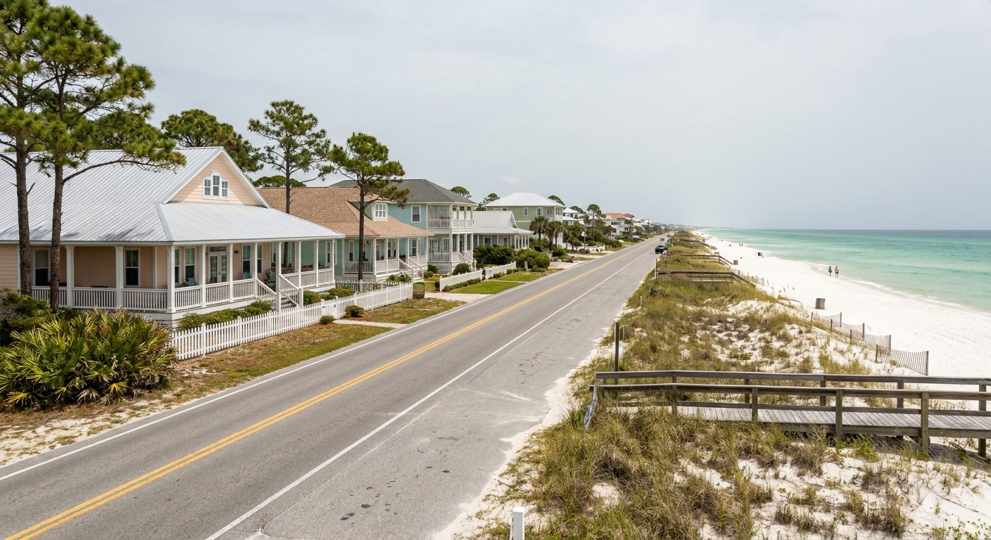
Seaside and Rosemary Beach are the two designed towns everyone recognizes, and they behave differently after dark. Seaside is pastel, open and public: the square pulls day visitors until late, the amphitheater usually has something running in season, and the water is a lawn and a walkover away. Rosemary Beach is darker in palette and tighter in plan, cobbled streets and hedged footpaths between courtyards. You can walk to dinner from both. Quiet arrives sooner in Rosemary.
WaterColor sits beside Seaside and rents like a resort, with pools, a boathouse on the dune lake and bikes attached to the house. Santa Rosa Beach is the opposite offer: ordinary neighborhoods reaching north of 30A toward US 98, where a family gets more bedrooms and a yard for the money. The trade is the crossing. In WaterColor you walk to sand. From much of Santa Rosa Beach you drive, then hunt a legal space.
One question separates these four: does the road sit between the rental and the Gulf? South of 30A means a boardwalk. North of it means a crossing, a walkover shared with other houses, and a daily decision about who carries the chairs. Ask the rental agency which access point serves the house, by name, and check that name against the marked public ones before you pay.
Scenic Highway 30A: driving, parking and getting around by bike
Scenic Highway 30A was designated a Florida Scenic Highway on April 9, 2008.
It follows the Gulf from Dune Allen at the western end to Inlet Beach at the eastern one, threading Blue Mountain Beach, Grayton, Seaside, Seagrove, Alys and Rosemary along the way. On mileage, stay skeptical: two documents from the same state program give the corridor as 24 miles in one and 28 miles in the other, so a length quoted anywhere is one of those two.
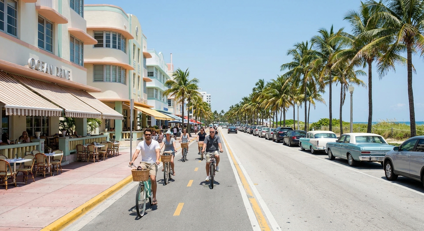
Leaving the car parked is the local habit. A paved multi-use path, the Timpoochee Trail, runs beside the road and links the neighborhoods, and
Shops in most of them rent bikes, many delivering to the house. seasonal shuttles and rideshare cover the longer hops toward inlet beach, though routes and operators change from year to year, so confirm before you build a dinner plan on one. parking is the strongest argument for two wheels: the marked lots at the popular beaches fill first in season.
Coastal dune lakes in South Walton
Coastal dune lakes are shallow bodies of fresh to brackish water sitting behind the beach, separated from the Gulf by nothing but a dune ridge. Florida has 15 of them and all 15 are in this county. The formation occurs in only four other places on earth: Australia, New Zealand, Madagascar and Oregon. From the sand, the effect is a color clash. Tannins from pine and cypress stain the lake water tea-dark, and it lies a stone’s throw from quartz sand the color of powdered sugar.
These lakes also move. After heavy rain the water builds until it cuts an outfall through the dune and drains into the Gulf, and salt pushes back in on the tide.
That episodic exchange keeps the mix brackish and the fishing odd, with freshwater and saltwater species sharing one body of water. Western Lake at Grayton Beach State Park is the easiest to paddle, Deer Lake has a state park and a boardwalk of its own, and Oyster Lake meets the beach at Dune Allen.
Public beach access: state parks and the 63 access points
| State park | What’s there | Gulf beach? | Plan for |
|---|---|---|---|
| Topsail Hill Preserve | Tall dunes, coastal dune lakes, pine trails, campground | Yes, past the dune line | A long stretch between the parking and the water |
| Grayton Beach | Western Lake, boardwalk, trails, campground, beach | Yes | The classic dune-lake-and-beach half day |
| Deer Lake | One boardwalk over the dunes, a dune lake at the beach | Yes | A small roadside lot on 30A |
| Eden Gardens | Historic house, moss-hung oaks, gardens on Tucker Bayou | No | An inland afternoon when the wind is up |
| Ponce de Leon Springs | Cold spring swimming hole, short trails, well north of the coast | No | A drive inland, a separate outing |
Five state parks, and only three of them touch the Gulf. The rest of the beachfront is not uniformly public: long stretches in front of private houses are not open to everyone, and the 63 marked access points along the 26 miles of sand are where a visitor is unambiguously welcome. Use the marked lots rather than the shoulder, arrive early at the popular ones, and note that Florida’s national park units are hours away and a different trip altogether.
South Walton or Destin: beaches, crowds and where to stay
Destin is a city with a center of gravity: the harbor, the charter fishing fleet, the outlets, and mid-rise condos lined along US 98. Traffic behaves accordingly. South Walton has no center at all, only one scenic road, low buildings, sixteen named neighborhoods and rental houses where Destin has towers. At the county line the contrast is plain: high-rises to the west, low roofs and dunes to the east.
The kind of stay is the real divide. Destin fits a condo week with a boat charter, a waterpark day and dinner on the harbor. South Walton fits a house, a bike and a week that repeats itself: beach, dune lake, town square, again. Drivers coming south from Atlanta, Birmingham or Nashville often split the difference by basing in Miramar Beach or Sandestin, near Destin’s restaurants but inside Walton County. When the drive itself is half the holiday, our Florida road trip guide handles the longer routes.
The last word
What this county gives that neither Destin nor Panama City Beach can is behind the dune rather than on it: 15 coastal dune lakes, every one Florida has, in a phenomenon repeated in only four other places on the planet. Western Lake at Grayton Beach State Park is the easiest one to paddle, and the Gulf is a dune away from it.
The rest is a sorting exercise. Sixteen names, one two-lane road, no downtown to fall back on when the house disappoints. Choose the neighborhood that matches the week you want, book within walking distance of one of the 63 marked access points, and leave the car where it is until somebody suggests dinner in the next neighborhood over.
Sources & data for this guide
- Sixteen beach neighborhoods and their names · Visit South Walton, official destination marketing organisation · checked Sep 14, 2026
- 26 miles of sandy beach, 63 public beach access points, five state parks, 15 coastal dune lakes and the four other places they occur · Florida Department of Environmental Protection, Coastal Access Guide, Walton County · checked Sep 14, 2026
- Scenic Highway 30A designated April 9, 2008 · Florida Scenic Highways Program · checked Sep 14, 2026. Two documents from that same program give the corridor as 24 miles and as 28 miles, so we publish no length.
- Atlantic hurricane season, June 1 to November 30 · NOAA National Hurricane Center · checked Sep 14, 2026
- Neighborhood character, architecture and evening noise are our editorial judgment, not measured data. Bike-path segments, shuttle routes, campgrounds and park facilities change season to season: confirm with the operator or the park before you count on one.