
SAGRES · AUGUST · 37.0° N
The road runs out at Sagres, and in August that feels like a reward rather than an exile. The cape’s official August normal is a high of 78.6°F, a low of 63.3°F and six hundredths of an inch of rain, read by a real thermometer standing 75 feet above the sea (22.9 m). Long evenings, hot sand, cliffs the color of toast. The Atlantic has not read the brochure: it averages 62.1°F off the cape this month, cooler than in July and cooler again than in September.
So the date settles the details rather than the destination. Which beach faces the swell, how late dinner can start under an 8:28 p.m. sunset, whether you rent a wetsuit or just a towel, and how early you reserve a car for the drive over from Faro. Sagres in July reads within a degree of this. September is where the weather starts asking questions.
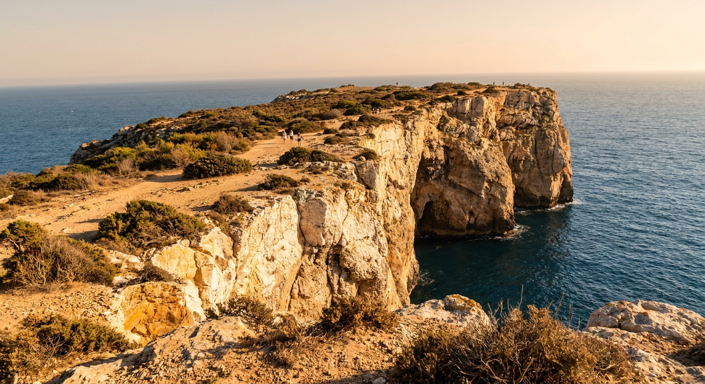
THE MONTH AT A GLANCE · SAGRES, AUGUST
August gives Sagres its warmest, driest air of the summer and the coolest water of the three peak months, so build a beach-and-cliff trip rather than a swimming one.
IPMA NORMALS 1991-2020 · STATION 533, AT 22.9 M · SEA FROM DAILY MAXIMA, 2015-2024
Go for: near-dry weather (0.06 inches in the whole monthly normal), 13 hours 37 minutes of daylight in mid-month, and sunset over the lighthouse at 8:28 p.m.
Think twice before: counting on warm swims. The sea off the cape averages 62.1°F in August, below both July and September.
Normals: IPMA station 533 · Sea: Open-Meteo Marine · Daylight: sunrise-sunset.org · full sources at the end
On this page
- Sagres weather in AugustThe 1991-2020 normals: 78.6°F high, 0.06 inches of rain
- Sea temperature for swimming62.1°F, and what that does to an afternoon
- Crowds, prices and bookingHigh season by the calendar, and what we could not verify
- Things to do around the capeThe fortress, Cabo de São Vicente, Tonel and Mareta
- A two-day itineraryTwo days timed to an 8:28 p.m. sunset
- August or September?How July, August and September compare
- Is August a good time to go?Our answer, for swimmers and for walkers
Every figure here comes from one place: IPMA station 533, on the exposed southwest cape, 1991-2020. That is the strength of it and also the limit. The Algarve’s inland hills run colder and far wetter, and the eastern end of the coast keeps its own weather, so pack for the cape from the normals below and for anywhere else from its own numbers. Our Algarve guide covers the rest of the coast, and the country’s month-by-month verdict handles the national picture.
Sagres weather in August: average highs, lows and rain days
| August at Sagres | 1991-2020 normal |
|---|---|
| Average high | 78.6°F |
| Average low | 63.3°F |
| Precipitation | 0.06 in |
| Days with 0.04 in (1 mm) or more | 0.4 |
| Sea surface (mean of daily maxima) | 62.1°F |
| Daylight, August 15 | 13 h 37 min |
These numbers belong to the national weather service, IPMA, and to a single station: number 533, at Sagres, 22.9 meters (75 feet) above the sea. The distinction matters. A station is an instrument somebody maintains, while a great deal of the climate data online is reanalysis, a modeled grid cell averaged across tens of miles of land and water. For August the station’s 1991-2020 normal gives 78.6°F by day, 63.3°F at night, and 0.06 inches of precipitation for the entire month.
Six hundredths of an inch is close to nothing, and the day count repeats the message: 0.4 days in an average August record 0.04 inches (1 mm) or more. In practice, roughly two Augusts in five contain one day with measurable rain, and the others contain none. One caveat before you set this beside a US table. IPMA counts from 1 mm, while American summaries usually count from 0.10 inches, so the two sets of rain days are not interchangeable.
Day to night, the spread is 15.3°F, and on a headland with the Atlantic on three sides the evening feels larger than that sounds. A t-shirt at 4 p.m. wants a windbreaker by 9 p.m., especially on the cliff road out to the lighthouse. Our packing guide has the full list; for the cape in August, the windproof layer is the item people regret leaving at home.
Light is the month’s quiet luxury. On August 15 the sun comes up at 6:51 a.m. and goes down at 8:28 p.m. local time, 13 hours 37 minutes apart, so a beach day can begin after a slow breakfast and still hold the whole golden hour in reserve for the cliffs. Tables that list 05:51 and 19:28 are giving you UTC; Sagres runs an hour ahead of that in August.
Can you swim in Sagres in August? Sea temperature and what it feels like
The sea surface off Sagres averages 62.1°F in August, taken from Open-Meteo’s marine series as the mean of daily maxima over 2015-2024. That method reads a shade warmer than a true 24-hour average would, so treat it as the friendly end of the range. Note where it lands among its neighbors: July averages 63.3°F, September 64.2°F, which makes August the coolest water of the three warmest months.
At low sixties you get in, you swim hard, and you get out. The water takes your breath at the waist, children last minutes rather than hours, and floating around reading a paperback on an inflatable is not on the menu. Rent a shorty wetsuit in town, with or without a board, and the same sea becomes a whole afternoon. That is why the surf schools here run all summer while the sunbathers stay dry above the tide line.
Wind and swell are the part we cannot put a number on. We found no monthly wind or wave series for the cape, so we quote no average speed and no wave height. What the station record does establish is the site: an exposed southwest cape. The local habit follows from the geography. Praia do Tonel faces west and takes the Atlantic swell head on, while Praia da Mareta sits inside the bay and stays the calmer of the two on a blowy afternoon.
How busy is Sagres in August? Crowds, prices and the demand peak
August is school-holiday month in Portugal and across most of Europe, so it is high season by the calendar, and everyone on the cape plans around that. What we will not do is rank the months on money. We found no occupancy series and no monthly room-rate series for Sagres, so we crown no month the most expensive and quote no nightly figure. For what a Portuguese week costs in real ranges, our cost breakdown does the arithmetic.
Booking behaves accordingly. A village at the end of a peninsula has a finite number of beds, and the same fortnight is wanted by everybody driving down from Lisbon or across from Spain, so we lock August lodging right after the flights rather than last. Cars deserve the same treatment: reserve as soon as the dates are firm. Where to stay in Portugal sorts the bases, and our car guide covers the counters, the insurance and the tolls.
On the tourist tax we would rather say what we know. We could not verify whether Sagres charges a per-night municipal tax in 2026, or at what rate, so no euro amount and no percentage comes from us. Ask the property when you reserve, and expect any such charge to show up as a line on the final bill rather than inside the headline price, as is usual in Portugal.
One expense genuinely changes the month, and it is the car. Sagres scatters its beaches, its fortress and its lighthouse across several miles of headland, we could not verify the current bus timetable on the cape, and the sunset at Cabo de São Vicente happens at 8:28 p.m. whether or not something is running back to town. Reserve the car with the room, not on arrival at the airport counter.
Things to do in Sagres in August
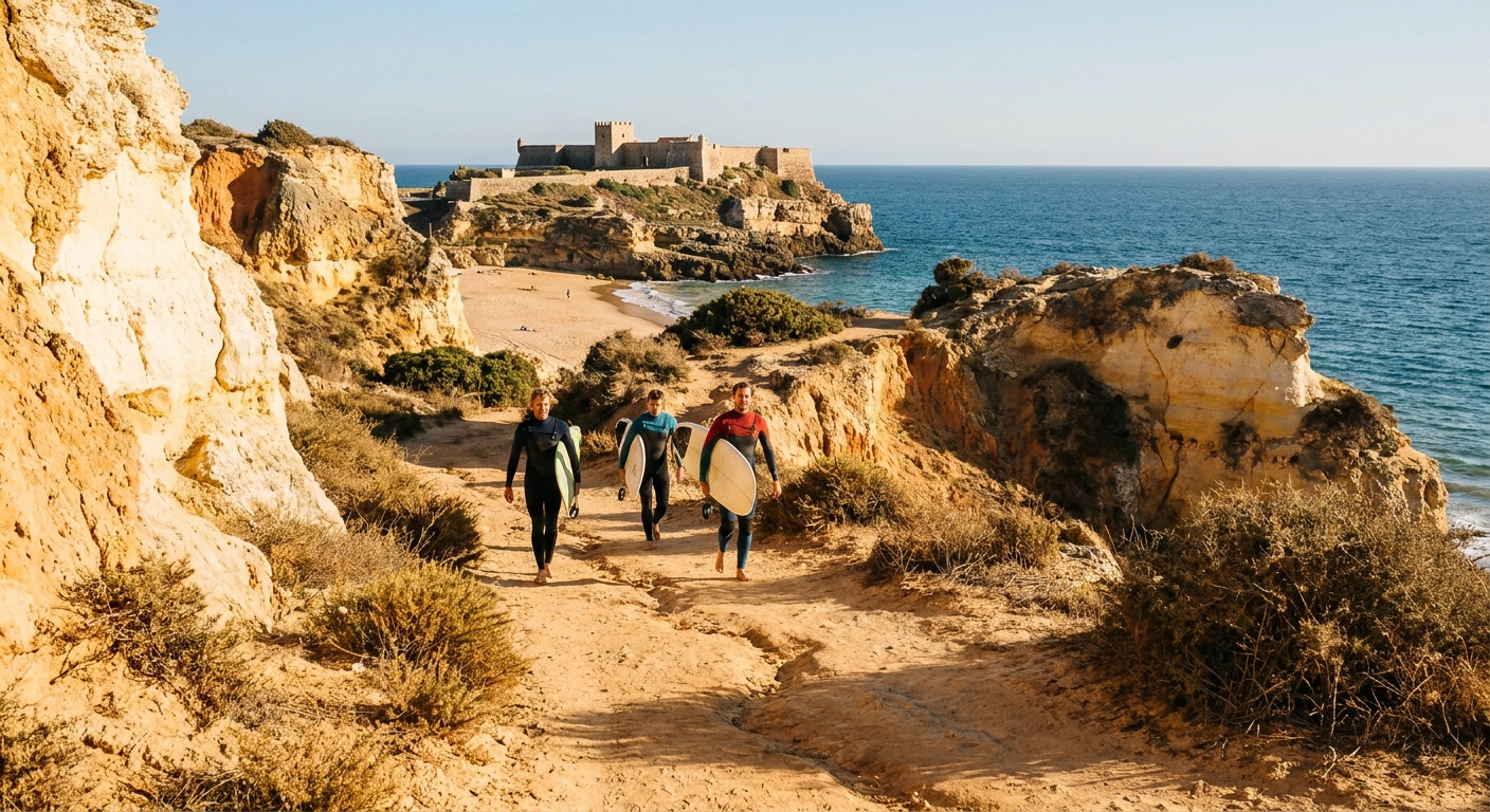
August is the month when a full day outdoors needs no fallback. With 0.06 inches in the monthly normal and 13 hours 37 minutes of daylight in mid-month, you can line up a morning on the sand, a long lunch, a fortress walk at six and sunset at the lighthouse, all in sequence and all outside. September’s normal carries 0.73 inches and 2.5 days of measurable rain, so a wet-weather option belongs in a September notebook and barely in an August one.
The set pieces are walkable once you have driven to each. The Fortaleza de Sagres occupies its own flat promontory, with the giant stone compass rose in the courtyard and a cliff circuit behind it. Cabo de São Vicente and its lighthouse sit at the southwest corner of the Portuguese mainland. Then the beaches: Tonel facing west below the fortress, Mareta in the bay under the town, Beliche tucked beneath the cliff on the lighthouse road, Martinhal flatter and shallower out to the east. We could not verify the fortress’s 2026 admission price or its August hours, so confirm both before you drive up.
The month works on the air and leaves the water alone. Offshore the sea holds 62.1°F while the shore thermometer averages 78.6°F, a gap of 16.5°F between sand and swim, and the widest of the three summer months (July runs 14.1°F, September 12.6°F). The fortress courtyard and the cliff paths collect that heat through the afternoon, so six o’clock walks far better than two.
A good share of the month costs nothing at all. The beaches carry no admission, the clifftop road to Cabo de São Vicente is free to drive and free to walk, and standing at the point as the sun drops is free too. We could not verify parking arrangements or a space count at the lighthouse, so drive out well before the 8:28 p.m. sunset rather than at it.
Sagres in August: a two-day itinerary
Day one runs on the light. Breakfast in town after 8, on the sand at Mareta by 9:30 while the bay is calm and the shade still reaches the wall. Out of the sun from 1 to 4, when 78.6°F on an unshaded headland does its worst, and let lunch take its time indoors. Fortaleza de Sagres at 5, the cliff circuit behind it at 6:30, then the short drive to Cabo de São Vicente for the 8:28 p.m. sunset. Dinner at 9:30, which is when the town eats anyway.
Day two goes west: Tonel in the morning for the swell and the surf schools, a rented shorty if 62.1°F stands between you and a real swim, then north into the Costa Vicentina for the cliff road and the wilder beaches above the cape. If the wind gets up, and on an exposed headland in August that is likelier than rain, move the swimming back into the bay at Mareta and give the afternoon to the drive east toward Lagos, where the coast turns and faces south.
Sagres in August vs July and September
| 1991-2020 normal | July | August | September |
|---|---|---|---|
| Average high | 77.4°F | 78.6°F | 76.8°F |
| Average low | 62.6°F | 63.3°F | 62.1°F |
| Precipitation | 0.04 in | 0.06 in | 0.73 in |
| Days with 0.04 in (1 mm) or more | 0.2 | 0.4 | 2.5 |
| Sea surface | 63.3°F | 62.1°F | 64.2°F |
Side by side, the three months sit close on air and apart on water. August takes the warmest day at 78.6°F, 1.2 above July’s 77.4 and 1.8 above September’s 76.8. Rain does the real separating: 0.04 inches in July, 0.06 in August, 0.73 in September, whose 2.5 days of measurable rain come to more than six times August’s 0.4. The sea then inverts the order, with 64.2°F in September, 63.3°F in July and 62.1°F in August, last of the three.
Shift four weeks later and the trade is legible. September hands you 2.1°F more sea warmth and a calendar that thins as European schools reopen, then charges 0.73 inches of rain and 2.5 wet days for it. Shift four weeks earlier and July keeps the water at 63.3°F on the driest normal of the three, 0.04 inches, while giving up 1.2°F off the daytime high and a slice of August’s late light. If the water is the reason, September is the month. For dry certainty, July and August sit within a rounding error of each other.
Is August a good time to visit Sagres?
Yes for most travelers, with one exception written in plain figures. If your August is about long dry days, hot cliffs, wind sports and dinner outdoors at 9:30, the cape delivers precisely that: 78.6°F, 0.06 inches of rain in the monthly normal, 13 hours 37 minutes of daylight on the 15th. If your August is about getting into the water and staying there, 62.1°F will not suit you, and no quantity of sunshine warms it.
In that case the month to prefer is September, and the reason is 64.2°F instead of 62.1, with school holidays behind it. The bill comes as 0.73 inches of rain across 2.5 days that record it, set against next to nothing in August, so a September trip carries an indoor afternoon it may never use. Anyone whose whole trip hinges on warm swimming should read the national month-by-month verdict before committing to the cape at all.
What August alone offers is the warmest daytime air of the three peak months resting on a monthly rain normal of six hundredths of an inch, on a coast where September’s identical sun arrives with a sky worth watching.
The last word
Reserve the bed and the car early, then let the sea decide what you rent once you arrive: a board and a shorty if 62.1°F stands in your way, a towel if it does not. One figure we have kept back argues for a plan with no plan B. Across the whole 1991-2020 record, the August normal at station 533 shows 0.0 days reaching 0.39 inches (10 mm) of rain. Pack the windproof layer rather than the raincoat, and keep the 8:28 p.m. sunset free.
Sources & data for this guide
- August normals, high 78.6°F, low 63.3°F, 0.06 in, and the rain-day counts at 1 mm and 10 mm · IPMA (Instituto Português do Mar e da Atmosfera), 1991-2020 normals, station 533 Sagres, 22.9 m · checked Sep 23, 2026
- July and September normals used in the comparison, same station and same period · IPMA · checked Sep 23, 2026
- Sea surface 62.1°F (August), 63.3°F (July), 64.2°F (September), mean of daily maxima 2015-2024 · Open-Meteo Marine API · checked Sep 23, 2026
- Daylight 13 h 37 min on August 15, sunrise 05:51 UTC and sunset 19:28 UTC, converted to Europe/Lisbon · sunrise-sunset.org · checked Sep 23, 2026
- We could not verify the Fortaleza de Sagres 2026 admission price or August hours, any municipal per-night tourist tax, the current bus timetable on the cape, or a monthly wind and wave series, so we give no figure for those. Prices and hours change · confirm with operators when you book.
To plan your stay
- Best Time to Visit Sagres: Weather, Sea Temperature and Crowds Month by Month
- Sagres in July: Weather, Sea Temperature, Crowds and How the Month Compares to June and August
- Sagres in September: Weather, Sea Temperature and How It Compares to August
- Sagres in June: Weather, Sea Temperature, Crowds and a Two-Day Plan