
FLORIDA · JANUARY · GULF ISLANDS NATIONAL SEASHORE
January is the cool, clear-headed month on the northern Gulf. Afternoons top out at 63.1°F, nights drop to 45.3°F, and the brick forts and white beaches of the seashore trade summer’s towels for jackets and long walks. The sun sets a little after five, so a January trip is built around the light.
You have already picked the place. The question is the date: what January gives you, what it holds back, and whether December or February would suit your trip better. The broader case for the park lives on our Gulf Islands National Seashore guide, and the statewide calendar on the best time to visit Florida.
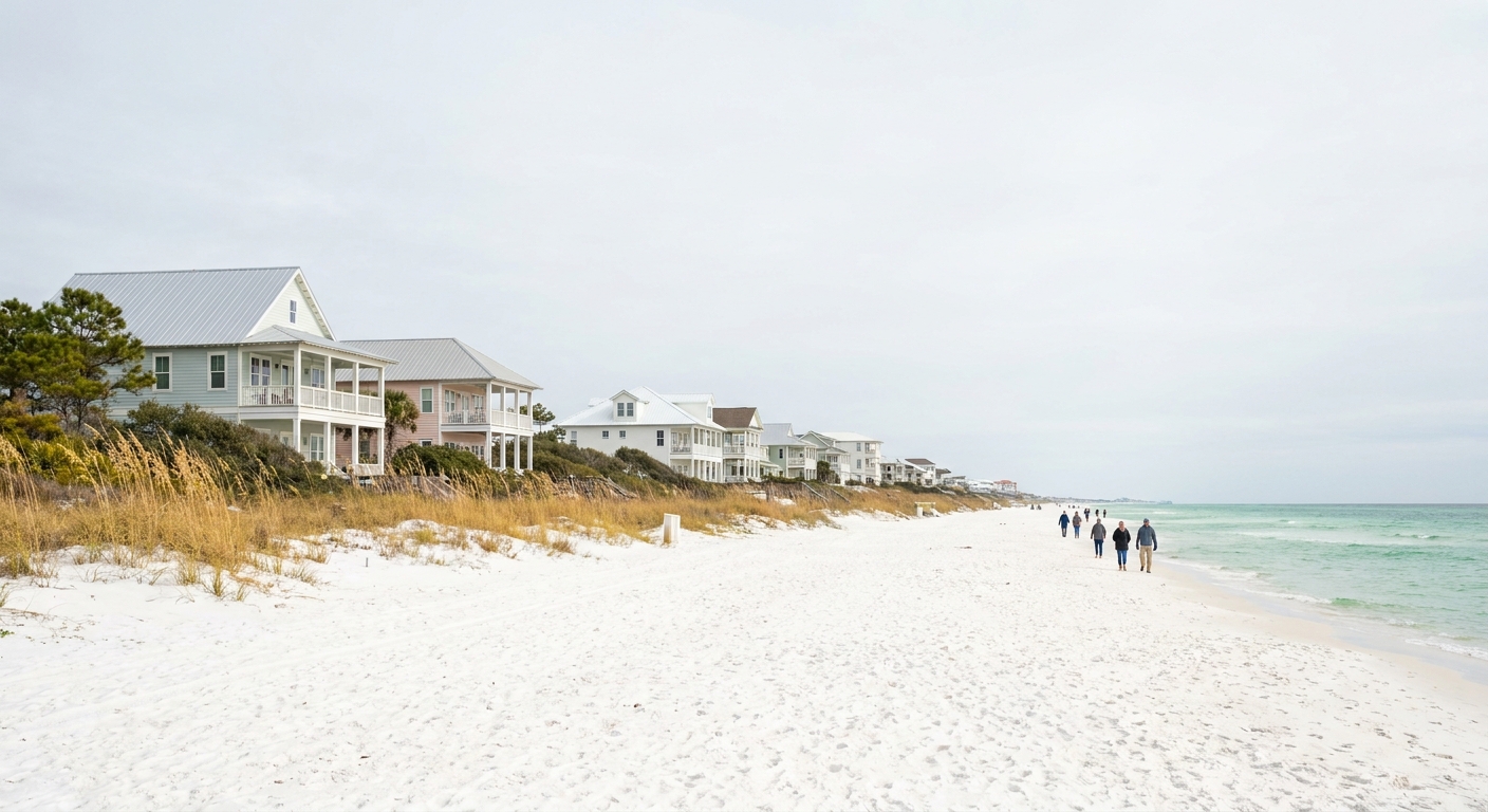
THE MONTH AT A GLANCE · GULF ISLANDS NATIONAL SEASHORE
Come in January for fort visits and long beach walks in cool, mostly dry air, and leave the swimsuit for a much later month.
HIGHS 63.1°F · SEA 60.4°F · SUNSET ABOUT 5:07 PM CST
Go for: brick forts in cool air, empty-feeling beach walks on Santa Rosa Island and Perdido Key, and trails where a sweater is the right layer.
Think twice before: planning a swim vacation. The Gulf averages 60.4°F at its daily warmest, cold enough to keep most people on the sand.
Climate: NOAA NCEI 1991-2020 normals · Sea: Open-Meteo Marine API 2015-2024 · Light: sunrise-sunset.org · full sources at the end
On this page
- January highs, lows and rain days63.1°F highs and 5.6 rain days
- Can you swim in the Gulf in January?Sea surface at 60.4°F
- Crowds, lodging and tax in JanuaryBooking, lodging tax and where to sleep
- Things to do in JanuaryFort Pickens, Fort Barrancas, Naval Live Oaks and Davis Bayou
- A two-day January itineraryTwo days between a 6:40 sunrise and a 5:07 sunset
- January vs December and FebruaryHow the three winter months compare
- Is January a good time to go?Who should go and who should wait
One caution before the numbers. Gulf Islands National Seashore is not one beach but a string of units running from the Florida Panhandle into Mississippi, and a single thermometer cannot speak for all of it. Where our climate figures come from is spelled out below, unit by unit. For getting there, our Florida flights guide covers the gateways and getting around Florida covers the car.
Gulf Islands National Seashore weather in January: average highs, lows and rain days
| January normal | Value |
|---|---|
| Average high | 63.1°F |
| Average low | 45.3°F |
| Precipitation | 4.52 in |
| Days with 0.10 in or more | 5.6 |
| Days with 1 in or more | 1.0 |
| Daylight on January 15 | 10 h 27 min |
Every figure here is an official 1991-2020 normal from NOAA’s National Centers for Environmental Information, read from a real station thermometer (GHCN ID USW00053853) at South Walton, not a gridded reanalysis. That station sits at the seashore’s eastern end, and the park runs 160 miles west from there into Mississippi. Read the 63.1°F high and 45.3°F low as the eastern end’s January, then allow for some difference at Perdido Key or Davis Bayou, where we found no station normals of equal standing.
Rain arrives in episodes. An average January logs 5.6 days with at least a tenth of an inch, roughly one day in five or six, and only 1.0 day with an inch or more. In practice most of a week-long trip stays dry, and the one soaking day is the one to hand to a fort interior or a museum. The month’s 4.52 inches mostly fall on those few wet days.
The swing from night to afternoon averages 17.8°F, from 45.3°F at dawn to 63.1°F at mid-afternoon. A beach walk that starts in a fleece ends in a T-shirt, so pack in layers: a warm midlayer, a windproof shell, long pants, and a hat for the early start. Shorts earn a place only for the warmest afternoons.
On January 15 the day runs about 10 hours 27 minutes. The sun rises at roughly 6:40 am and sets at 5:07 pm Central time (converted from 12:40 and 23:07 UTC). Plan the last beach stretch for about 4:30 and be at your viewpoint by five, because the light is gone soon after.
Can you swim in Gulf Islands National Seashore in January? Sea temperature
The sea surface off the seashore averages 60.4°F in January, according to the Open-Meteo Marine API over 2015-2024. That figure is a mean of daily maxima, the warmest reading of each day, so it runs a shade warmer than a 24-hour average would. Expect the water to feel at or below 60.4°F in the morning.
At 60.4°F, a quick plunge is possible and a leisurely swim is not for most people. Cold-water regulars and wetsuit wearers can get in on a sunny afternoon, when the air is near its 63.1°F peak and you can warm up fast. Families with children should plan on wading and tide-pool looking, with dry towels and a warm layer waiting on the sand.
We could not find a verified January record of wind or surf for the seashore, so we give no forecast for chop or swell. Check the National Weather Service marine forecast on the morning you go, and read our Florida safety guide for beach flag colors before stepping in.
How busy is Gulf Islands National Seashore in January? Crowds and prices
January falls well outside the Panhandle’s summer beach season, a fact of the calendar rather than a price ranking. We found no monthly occupancy or room-rate series for the seashore’s towns, so we name no month the cheapest and no rate the lowest. For a sense of what a Florida trip costs overall, our trip-cost guide prices the state in tiers.
Without booking-window data, we give no fixed number of weeks. The practical advice is to book once your dates are firm and to favor refundable rates, since a cold front can reshape a weekend. Our where-to-stay guide weighs the Florida bases.
We could not verify the lodging-tax rate for Escambia, Santa Rosa or Okaloosa counties, or for the Mississippi coast, so we give no percentage. Ask your hotel or rental for the all-in total before you pay.
If one line in the budget changes the month, it is where you sleep. With about 10 hours 27 minutes of daylight, a room on Santa Rosa Island puts you minutes from the beach and Fort Pickens at sunrise, while an inland base spends part of that short day on the road. Paying more for location buys daylight.
Things to do in Gulf Islands National Seashore in January
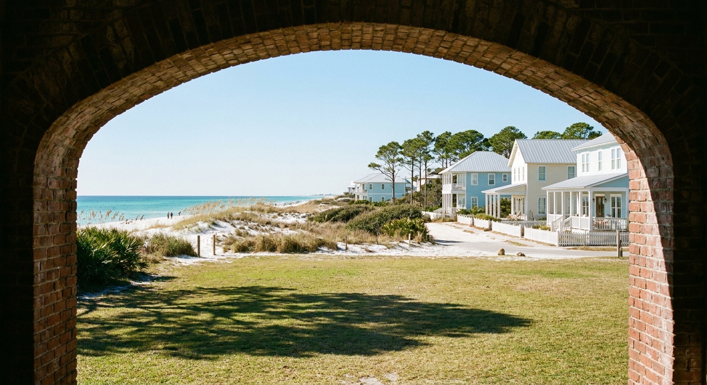
January favors the walking side of the seashore. With highs near 63.1°F, the forts, boardwalks and long sandy stretches suit a full day on foot without heat to manage. Summer puts the swim at the center, and January puts the sightseeing there.
In Florida, Fort Pickens anchors the west end of Santa Rosa Island, and Fort Barrancas stands on Naval Air Station Pensacola, where base access rules apply. Naval Live Oaks in Gulf Breeze has shaded trails, and Opal Beach and Perdido Key offer open sand. In Mississippi, Davis Bayou at Ocean Springs holds the district’s mainland area. Check the NPS site before you drive for current entrance fees, gate hours, and the Ship Island ferry’s January schedule.
The places stay put, and the month changes how you use them. At the eastern end, the air averages 63.1°F by afternoon while the Gulf sits at 60.4°F at its daily warmest, so the beach is a place to walk, not to float. Fort interiors that feel close in summer are comfortable in a light jacket.
We could not verify a fee-free entrance day for the seashore in January 2027, so we list none. Beach walking at pull-offs outside fee areas costs nothing. More statewide ideas sit in things to do in Florida and Florida’s national parks.
Gulf Islands National Seashore in January: a two-day itinerary
Day one, Santa Rosa Island. Be on the sand for the 6:40 am sunrise, dressed for a dawn near 45.3°F. Walk the beach until mid-morning, then tour Fort Pickens once the air warms. After lunch, drive to Naval Live Oaks in Gulf Breeze for the trails while the afternoon climbs toward 63.1°F. Head back to the Gulf side by 4:30 to catch the 5:07 pm sunset, and eat dinner after dark.
Day two, Perdido Key and Fort Barrancas. Start with a Perdido Key beach walk, then visit Fort Barrancas after confirming base access. If one of January’s 5.6 rain days lands on your trip, spend it inside the forts and make the Mississippi drive to Davis Bayou the following morning. The wider route is in our Florida road-trip guide.
Gulf Islands National Seashore in January vs December and February
| Normal | December | January | February |
|---|---|---|---|
| Average high | 65.6°F | 63.1°F | 65.8°F |
| Average low | 47.5°F | 45.3°F | 47.9°F |
| Precipitation | 4.72 in | 4.52 in | 4.96 in |
| Days with 0.10 in or more | 6.5 | 5.6 | 5.3 |
| Sea surface (daily maxima) | 65.9°F | 60.4°F | 62.1°F |
January is the coolest of the three. Its 63.1°F high sits 2.5°F below December and 2.7°F below February, and its 45.3°F low trails both by about 2°F or more. It is also the driest by total, with 4.52 inches against 4.72 in December and 4.96 in February, though February has fewer rain days, 5.3 against January’s 5.6 and December’s 6.5. The sea, from the Open-Meteo Marine API over 2015-2024, is at its coldest of the three, 5.5°F below December’s 65.9°F and 1.7°F below February’s 62.1°F.
Moving four weeks earlier gains the warmest water of the three and slightly milder air, at the cost of the most rain days. Moving four weeks later gains the mildest air, 65.8°F by afternoon, and the fewest rain days, while the sea recovers only to 62.1°F. The gap in each case is a few degrees. Swimming stays cool in all three months.
Is January a good time to visit Gulf Islands National Seashore?
Yes, if your trip is about forts, trails and long beach walks in cool air, and you are happy in a jacket at dawn. No, if the point of the vacation is swimming, with the Gulf at 60.4°F at its daily peak, or if you want the longest possible days, with sunset near 5:07 pm.
If January is not for you, February is the nearest improvement: a 65.8°F average high, the fewest rain days of the three winter months at 5.3, and water slightly warmer at 62.1°F. Swimmers should look past winter entirely, starting with the best time to visit Florida.
Among December, January and February, January carries the lowest precipitation total, 4.52 inches at the South Walton station.
The last word
Choose January for the walking, and pack for the cold end of it: in an average January, 3.2 nights at the South Walton station fall to 32°F or below. A warm hat and gloves for the 6:40 am sunrise on Santa Rosa Island turn those chilly starts into the best light of the trip.
Sources & data for this guide
- January, December and February air normals, precipitation, rain days and freezing nights · NOAA NCEI monthly normals 1991-2020, station USW00053853 (South Walton, the seashore’s eastern end) · checked Sep 24, 2026
- Sea surface temperature, January, December and February · Open-Meteo Marine API, mean of daily maxima 2015-2024 · checked Sep 24, 2026
- Daylight, sunrise and sunset on January 15 · sunrise-sunset.org, converted from UTC to Central time by us · checked Sep 24, 2026
- Unit names and access notes · National Park Service, Gulf Islands National Seashore · checked Sep 24, 2026
- We could not verify 2027 entrance fees, gate hours, the Ship Island ferry schedule, lodging-tax rates or wind and surf records, so we give none. Confirm with the NPS and your lodging when you book.
To plan your stay
- Best Time to Visit Gulf Islands National Seashore: Weather, Sea Temperature and the Quiet Months
- Gulf Islands National Seashore in February: Weather, Sea Temperature, Crowds and a Two-Day Itinerary
- Gulf Islands National Seashore in December: Weather, Sea Temperature, Crowds and a Two-Day Plan
- Gulf Islands National Seashore in March: Weather, Sea Temperature, Crowds and a Two-Day Itinerary