
Somewhere around Anchorage, a traveler looks at a map of Alaska, spots the blue fjord of Prince William Sound, and wonders how to get there without a long detour. Valdez sits at the head of that fjord, ringed by glaciers and mountains that catch some of the heaviest snowfall in the state. The short answer is a long day’s drive by road, or a flight on Ravn Alaska, and there is no scheduled ferry from Whittier to fill the gap.
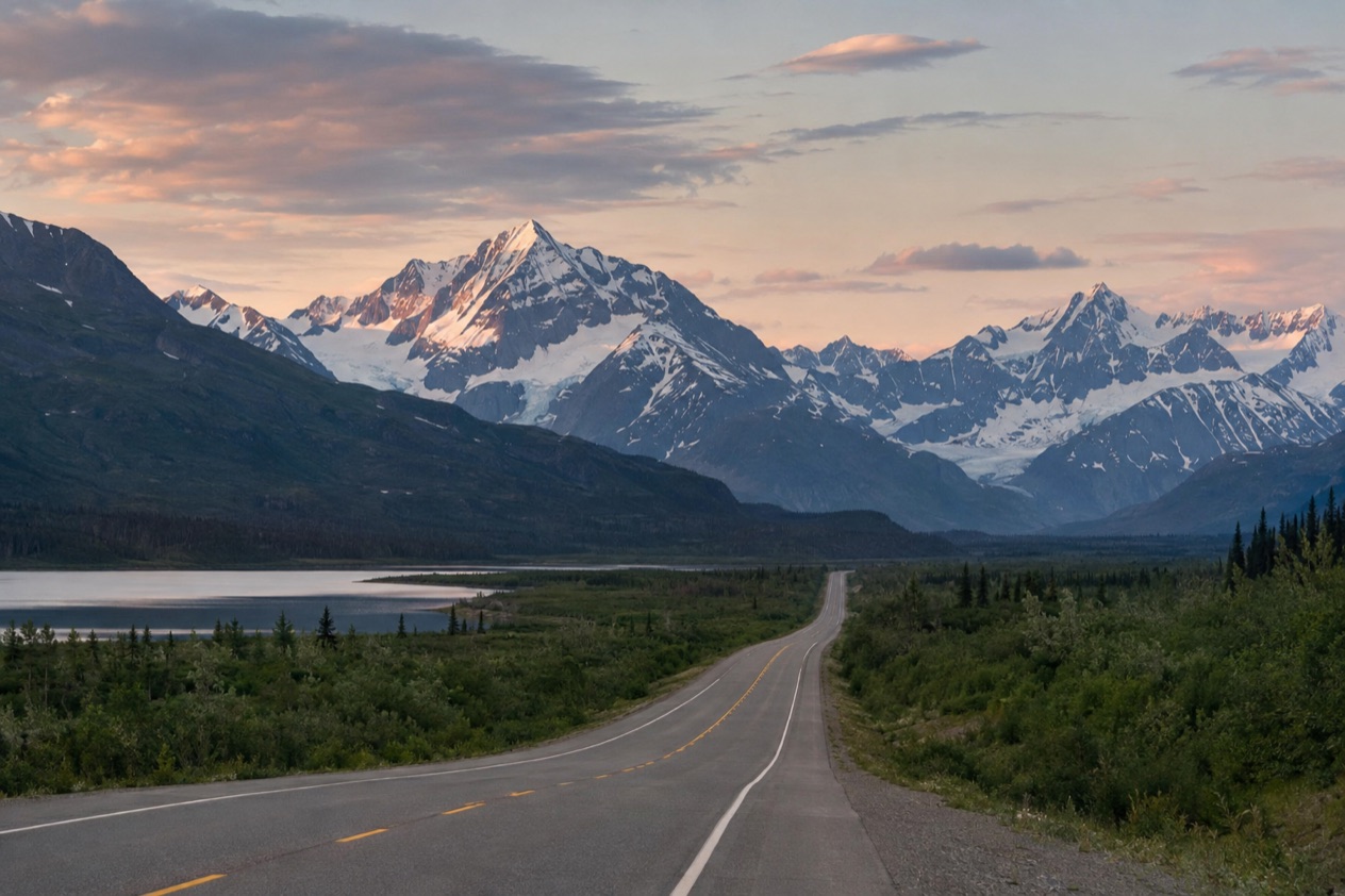
How do you get from Anchorage to Valdez?
You drive, and the trip takes 6 to 7 hours by car. Two highways do the work: the Glenn Highway carries you out of Anchorage to Glennallen, and the Richardson Highway takes you the rest of the way down to the water at Valdez. The roads join at Glennallen, which is the natural place to feel the trip change character.
The route is a day of changing country, so it helps to know the stretches in order. The table gives the lengths of the two roads as the highway records state them, though only part of each is used on this trip.
| Road | Length (miles) | Runs between |
|---|---|---|
| Glenn Highway | 179 | Anchorage (near Merrill Field) and Glennallen |
| Richardson Highway | 368 | Valdez and Fairbanks |
The Glenn Highway out of Anchorage
The trip begins on the Glenn, which starts near Merrill Field in Anchorage. Its first stretch is part of the longest freeway run in Alaska, which continues onto the Parks Highway and ends in Wasilla. That same portion is the only road access to Anchorage for most of the state, apart from the Seward Highway to the Kenai Peninsula, so you leave town on the road that ties the whole region together.
The road began in the 1930s as the Palmer Road, built to reach the agricultural colony at Palmer. During World War II it was pushed through to Glennallen as part of the military road and base building program that also produced the Alaska Highway. Driving it, you follow a piece of that wartime history.
The high point comes at Eureka Summit, 3,332 feet up on the divide between the Chugach and Talkeetna mountain ranges. It is a good place to notice how far the landscape has opened up since the city.
The Richardson Highway down to Valdez
At Glennallen the Glenn ends on the Richardson Highway, and you turn toward Valdez. The Richardson was the first major road built in Alaska, and it is marked as Alaska Route 4 between Valdez and Delta Junction. Its southern end is at the Alaska Marine Highway terminal in Valdez, so the road literally finishes at the dock.
The section from Valdez to Glennallen is an Alaska State Scenic Byway, designated on January 20, 1998. Near the end of the drive the road passes through Keystone Canyon just north of Valdez, where waterfalls such as Horsetail Falls drop beside the pavement. It is a fitting last stretch before the town and the fjord appear.
Which options are there?
There are two ways to reach Valdez from Anchorage: drive the Glenn and Richardson highways, or fly. A ferry across the sound is not an option, because there is no scheduled ferry between Whittier and Valdez.
By car
Driving takes 6 to 7 hours and lets you see the two highways described above in one run. You pass the freeway out of Anchorage, climb to Eureka Summit, reach Glennallen, then follow the scenic byway through Keystone Canyon into town.
A car also gives you the freedom to stop where you like, whether at a pullout above the Chugach and Talkeetna divide or at the falls in the canyon. The same highway also links Valdez to the rest of the road system, which matters if your plans continue onward. From Tok, for example, the drive to Valdez takes approximately 4.5 hours, so the town can be one stop in a longer loop.
By air
Ravn Alaska, formerly Era Aviation, offers flights from Anchorage to Valdez Airport. This is the alternative for anyone who would rather not spend most of a day behind the wheel, and it puts you at the fjord’s edge without the highway miles.
A flight changes the experience rather than the destination. You skip Eureka Summit and Keystone Canyon from the ground, but you arrive in the same town with the same glaciers, kayaking and fishing waiting. For the schedule and what a seat costs, go to the airline, since the details change.
What is not available
Looking at a map, Whittier and Valdez both sit on Prince William Sound, and it is natural to imagine a boat linking them. There is no scheduled ferry between the two, so that shortcut does not exist. The Alaska Marine Highway terminal in Valdez marks the end of the Richardson Highway, but a Whittier crossing is not part of the plan.
What should you know before you travel from Anchorage to Valdez?
Know the road conditions before you leave, and know what is waiting at the end. The Alaska Department of Transportation runs the Alaska 511 website, and it is the place to read what the highways are doing on the day you travel.
Reading road conditions on Alaska 511
Alaska 511 sorts road conditions into named categories: Good, Fair, Difficult, Very Difficult, Hazardous, Road Closure and No Winter Maintenance. The department has also partnered with Waze, so incidents and closures reported there appear on the same site. Together these give a fuller picture of both highways than a map alone.
The site has tools that suit a long drive. On the map page you can add a camera to My Cameras by clicking a camera icon and then the My Cameras button in its popup. On the camera page, the My Cameras option sits behind the three dots icon below the image. That lets you build a short list of the views along your route.
If you create an account, you can save routes and receive notifications. You must log in to save routes for later viewing. Route notifications are sent by default on weekdays from 6 AM to 6 PM by SMS.
What waits in Valdez
Valdez is pronounced locally as val-DEEZ, not like the Spanish surname, and saying it that way is a small courtesy in town. It lies at the head of a fjord on Prince William Sound, in Southcentral Alaska, and it is known as the town in Alaska with the highest annual snowfall. The Chugach mountains nearby receive 600 to 900 inches of snow each winter.
Five glaciers lie near town and can be reached by sea, land and air. You can kayak among icebergs at Valdez Glacier Lake that have calved from the glacier. The waters hold every kind of salmon and huge halibut, and the town hosts competitive fishing derbies, so a rod is a reasonable thing to think about.
The Valdez Visitors Center
The visitors center is a good first stop after the long drive, and its hours change with the season. The table gives both schedules.
| Period | Days | Hours |
|---|---|---|
| May 1 to August 31 | Monday to Friday | 9AM to 5PM |
| May 1 to August 31 | Saturday and Sunday | 10AM to 6PM |
| September 1 to April 30 | Monday to Friday | 9AM to 4PM |
Good to know before you go
The condition categories there, from Good to Road Closure, tell you whether the Glenn and Richardson highways are ready for you. Winter on this route means deep snow around Valdez, and the visitors center keeps shorter hours from September 1 to April 30.
Sources
- Wikipedia, Glenn Highway (https://en.wikipedia.org/wiki/Glenn_Highway), checked October 11, 2026
- Wikipedia, Richardson Highway (https://en.wikipedia.org/wiki/Richardson_Highway), checked October 11, 2026
- Alaska.org, dest valdez (https://www.alaska.org/destination/valdez), checked October 11, 2026
- Wikivoyage, Valdez (https://en.wikivoyage.org/wiki/Valdez), checked October 11, 2026
- Alaska 511 (https://511.alaska.gov/), checked October 11, 2026
To plan your stay
- Best Time to Visit Anchorage: Long Summer Days, Northern Lights, Weather by Month and Festivals
- Things to Do in Anchorage: Museums, Alaska Native Heritage, Chugach Trails and Day Trips
- Where to Stay in Anchorage: Downtown, Eagle River, Girdwood and Lodging Types
- Know Before You Go to Anchorage: Weather, Wildlife, Getting Around and Local Habits