
Mornings in Oaxaca start with the smell of chocolate being ground and the clatter of the market stalls, and by evening the Zócalo fills with families, balloon sellers and musicians under the laurel trees. Most visitors find the city relaxed and easy to wander. The honest question of safety deserves a clear answer, and it changes a little between the colonial center, the valley villages and the Pacific coast.
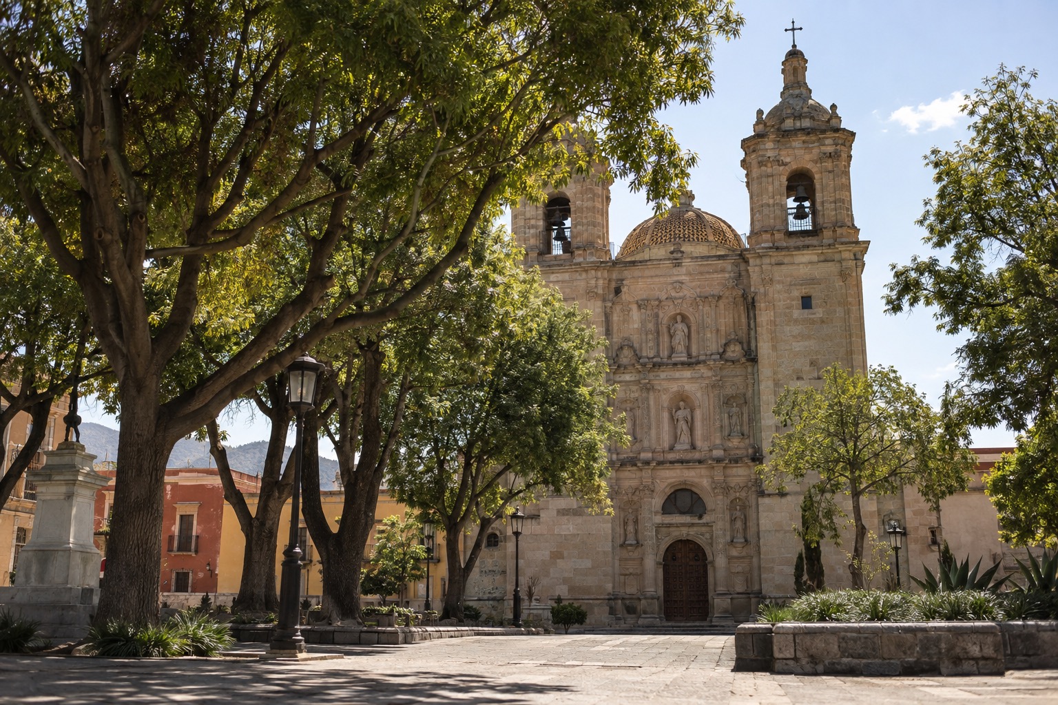
Is Oaxaca safe to visit?
Oaxaca is a place many travelers visit without trouble, but no one can promise that a trip will go smoothly, so it pays to travel with some care. The State Department’s rating covers the whole state, and in practice it places no restrictions on travel to Oaxaca City, Monte Albán, Puerto Escondido or Huatulco, the places most visitors actually go.
What this means day to day is ordinary city sense. Keep valuables close in crowds, use licensed transport, and treat the coast, the highway and the cemetery vigils each on their own terms, as the sections below explain.
Safety by area in Oaxaca
The historic center
Colonial facades, pedestrian streets, markets, street food and nightlife all share a few blocks here, which is why first-time visitors, culture lovers and couples tend to stay in this area. Boutique hotels and colonial guesthouses fill restored buildings, and there are no large resorts.
Days are busy and easy on foot, since most sights are walkable. Evenings are livelier, especially on weekends, and the streets can be noisy late. A room around an interior courtyard muffles much of it. In crowds around the Zócalo and the markets, keep bags zipped and phones out of back pockets.
Jalatlaco
Jalatlaco lies just north of the center, a calm, artistic neighborhood with bright building fronts, cobblestones, and the feeling of a small village. Couples and long-stay visitors like its residential calm, and lodging is mostly small guesthouses and renovated old houses.
Walking to the Zócalo takes you across flat, safe streets, and cabs are cheap and simple to catch. After dark, the lanes are quieter than downtown, so a taxi back from a late dinner is a sensible habit. The streets near the church and along Calle Hidalgo are the most charming.
Xochimilco
Within this traditional barrio you’ll find a market used by locals, streets that remain quiet and largely residential, plus a modest but expanding cluster of cafés and mezcal bars. Budget travelers and families who want a local feel without heavy tourist crowds choose it, mostly staying in family-run posadas and budget guesthouses.
It is a fair walk from the historic center, or a short city bus or taxi ride. If you take local buses along Avenida Ferrocarril, check the current routes, since they change. At night, a taxi is the easier choice over a long walk.
Puerto Escondido and Mazunte on the coast
Puerto Escondido is a Pacific beach town with strong surf, particularly at Playa Zicatela, and areas that run from laid-back to lively. Surfers, backpackers and couples come for the waves and the beach nightlife. La Punta is the quieter, more bohemian corner, while Zicatela has the nightlife.
Distances between the beaches are too long for comfort in the heat, so people hop by scooter, taxi or shared colectivo. Swimming at Zicatela is best avoided because of strong currents.
Mazunte is a small, eco-conscious village with a low-key, bohemian mood. Playa Mazunte draws yoga travelers, and as on every Pacific beach in the area you should look at the flags before going into the water. The village is walkable. Carry plenty of cash with you, since ATMs are scarce and lots of small businesses don’t accept cards.
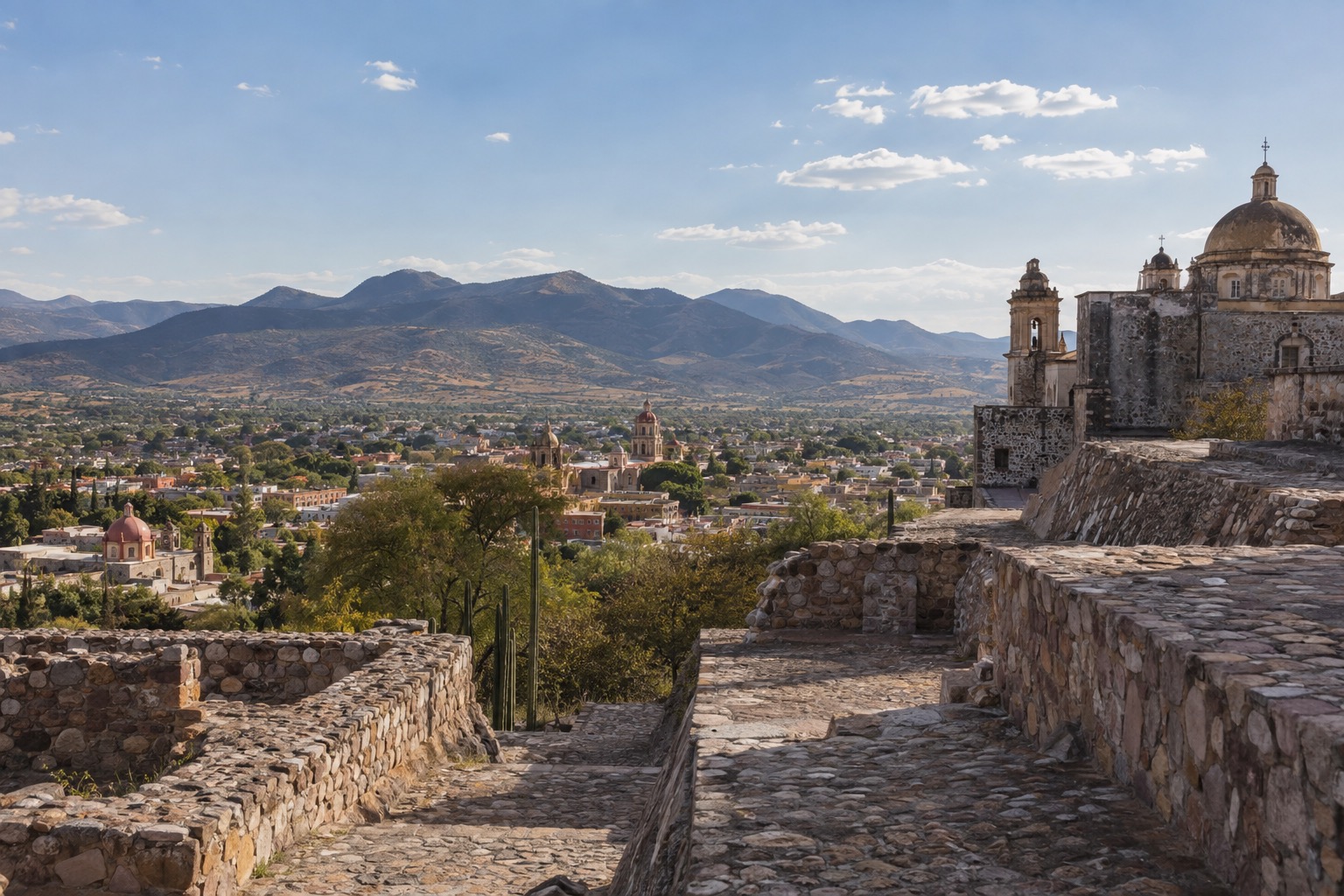
Common scams and how to avoid them
The usual traps in Oaxaca are small ones, and a little preparation takes care of nearly all of them. Pushy sellers in the Zócalo and around the market are persistent rather than dangerous, and a calm “no, gracias” with a smile and a steady walk ends most conversations.
Taxis without a set fare are the other classic. Agree on the price before you get in, or ask your hotel to call a driver. Use ATMs inside banks or in well-lit, busy spots, and cover the keypad. Exchange only what you need at the airport, where rates are rarely the best, and carry small bills for colectivos, snacks and market purchases.
In the weaving workshops of Teotitlán del Valle, nobody asks for an entry fee, but you are expected to watch before buying. The mezcal palenques usually pour free tastes, hoping you’ll consider buying a bottle. Neither is a trap, just good manners on both sides.
Getting around safely
In town, you mostly walk, and taxis or local buses cover the longer hops. Taxis are inexpensive and easy to find in Jalatlaco and the center, and a taxi is the simpler way home after dark, when you are tired or the streets are empty.
Day trips by colectivo, bus or car
Shared colectivos and second-class buses take Highway 190, the Mitla road, from the Central de Abastos, or from the baseball stadium, then roll past the turnoff for Teotitlán del Valle. For Tlacolula, colectivos depart from either the second-class bus station or the stadium. The ride to Tlacolula takes about an hour at most, and the Sunday market there is crowded, so keep your valuables close.
Monte Albán is 20 to 30 minutes from the center by car, taxi or local bus. Hierve el Agua is a longer trip, around two hours each way, by bus or colectivo toward Mitla and then a local truck or taxi, or directly with a driver. The community itself takes in its entrance fee at the site.
Mezcal country around Santiago Matatlán is under an hour away on the same highway. If you taste at several palenques, let someone else drive, and note that the distillery areas have open fire pits and slippery floors. The dry season, November to April, makes the roads easiest.
Cemetery vigils during Día de Muertos
The principal vigils take place during the night that runs from October 31 into November 1, and a number of visits stretch into November 2. Xoxocotlán and Atzompa are 20 to 30 minutes from the center, and Panteón General is a short taxi ride. Taxis, colectivos and special shuttles run those nights.
Cemeteries get crowded, smoky and dark, which is not ideal for very young children or anyone sensitive to smoke or loud music. Get permission before you take anyone’s picture, stay off the graves, and speak softly. Go after 9 p.m. and plan your ride home in advance.
Beach, water and weather safety
On the Oaxaca coast the sea deserves respect. Zicatela’s surf is big and its currents strong, so it is a beach for watching surfers, not for swimming. Elsewhere, conditions shift with the swell, so check the beach flags before you go in, even at calmer spots like Mazunte.
The Pacific hurricane season begins in mid-May, so a coastal trip in the rainy months can bring storms. July has rain on most days in the valley, often as afternoon downpours, while January is nearly dry with hot afternoons and cool nights, with sun that is strong in both months.
At the archaeological sites, shade is scarce. Monte Albán’s plaza is uneven and open, so the early hours or late afternoon are kinder, and a hat and water matter more than anything else you pack. At Mitla, you’ll find low doorways and uneven stone floors.
Good to know before you go
The U.S. State Department rates the state of Oaxaca Level 2, Exercise Increased Caution, and places no restrictions on travel to Oaxaca City, Monte Alban, Puerto Escondido or Huatulco.
Carry cash in small bills, since colectivos, markets, palenques and small coastal businesses rarely deal in anything else. Keep your valuables close in crowds, agree on taxi fares first, and ask permission before photographing artisans, workers or people at the vigils.
If you head to the Pacific beaches between mid-May and the end of the Pacific hurricane season, keep an eye on forecasts and flexible plans. Inland, a tropical system can still mean days of heavy rain.
Sources
- INAH, Zona Arqueologica de Monte Alban (inah.gob.mx/zonas/94-zona-arqueologica-de-monte-alban), checked September 29, 2026
- UNESCO (whc.unesco.org/en/list/415) ; INAH, Monte Alban ; chronologie corrigee le 03/10 (relecture Fable)
- INAH, lugares.inah.gob.mx (Mitla), via Fable re-read of 03/10/2026
- INAH, Zona Arqueologica de Yagul (inah.gob.mx/zonas/zona-arqueologica-de-yagul), checked September 29, 2026
- INAH, Museo de las Culturas de Oaxaca Santo Domingo (inah.gob.mx/museos/museo-de-las-culturas-de-oaxaca-santo-domingo), checked September 29, 2026
- U.S. Department of State, Mexico Travel Advisory, State of Oaxaca (travel.state.gov, date issued May 29, 2026), checked October 3, 2026
- official tourism site
- municipality
- Servicio Meteorologico Nacional (CONAGUA), normales climatologicas 1991-2020, estacion 20079 (Oaxaca, Oaxaca De Juárez), checked September 29, 2026
- sunrise-sunset.org, sunrise and sunset on the 15th of the month, checked September 8, 2026
To plan your stay
- Best Time to Visit Oaxaca: Weather, Día de Muertos, Rainy Season and Festivals
- Things to Do in Oaxaca: Monte Albán, Mezcal, Markets and Day Trips
- Where to Stay in Oaxaca: Historic Center, Jalatlaco, Xochimilco and the Pacific Beaches
- Oaxaca Airport to City: Taxi and Car Rides to the Historic Center, Jalatlaco and Xochimilco