
Standing at a ferry terminal in Bellingham or looking out the window at the first big peaks on a flight north, many travelers realize they have never quite pictured where Alaska sits. Reaching it takes a road trip through the Yukon, a ferry down the Inside Passage, a cruise or a flight.
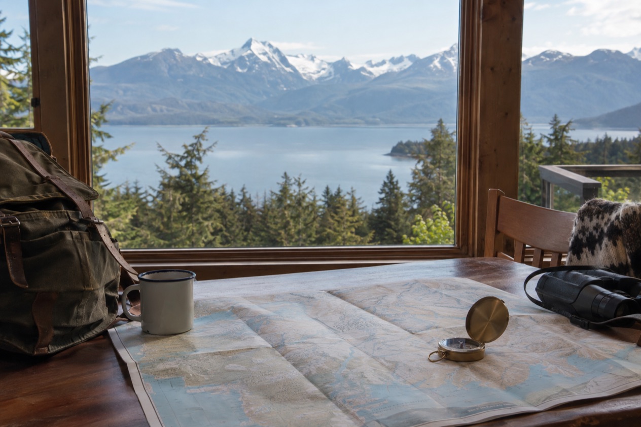
Where is Alaska located?
Alaska is a U.S. state that lies apart from the contiguous states, with Canada in between, and it is far larger than any other state. It is sparsely populated for its size, which you feel quickly once you leave Anchorage: towns are separated by mountains, water and long stretches with no roads at all. The state is best understood as a handful of very different regions that happen to share one flag.
| Landmark | Figure |
|---|---|
| Alaska, total area | 586,000 square miles |
| Denali, highest mountain in North America | 20,310 feet |
| Arctic National Wildlife Refuge | 16 million acres |
Southeast Alaska and the Inside Passage
Southeast Alaska is the region of Juneau, Sitka, Ketchikan, Skagway and Glacier Bay National Park and Preserve. Most of it lies within the Tongass National Forest, the largest national forest in the United States.
Juneau, the state capital, is not connected by road to the rest of the North American highway system, and the same is true of nearly every community here. Only Haines, Skagway and Hyder have a road link to the continental road network.
So people here move by water and by air. The Alaska Marine Highway links Skagway, Haines, Hoonah, Juneau, Sitka, Petersburg, Wrangell, Ketchikan and other small communities, and Juneau International Airport serves as the air hub for the whole region.
It is also the one part of Alaska where the average daytime high stays above freezing in winter. Brown bears, black bears, humpback whales, orcas, bald eagles and five species of salmon live in the region, and you may see some of them from a boat or a trail.
Anchorage, Denali and the road-linked heartland
Around Anchorage you find the Alaska most visitors picture on a map: a city of mountains and water with a tidal inlet called Turnagain Arm nearby. Its tides are among the largest in the world, with a difference of more than 35 feet between low and high water. A drive on the Seward Highway to Whittier passes through the Anton Anderson Memorial Tunnel, a single lane shared with train tracks, where waits can reach 45 minutes and the schedule decides when you cross.
Denali National Park and Preserve holds the mountain that gives it its name, the highest in North America. It is a place to stand and look up at something huge, with the summit sometimes hidden in cloud.
The Arctic and the North Slope
At the top of the state, Utqiaġvik, formerly known as Barrow, is the northernmost city in the United States, set on the North Slope. Beyond it sits the Arctic National Wildlife Refuge, the largest wildlife refuge in the world, managed by the United States Fish and Wildlife Service. This is a country of tundra and wide open ground, a very different place from the forests and fjords of the Panhandle, and it is why a single answer to “where is Alaska” never quite fits.
How far is Alaska from the Lower 48?
Alaska is far enough that reaching it is a journey in itself, because Canada fills the whole space between the state and the contiguous U.S. Whichever way you choose, you pass through or over Canadian territory, by wheel, by ship or by air. That makes the question less about a number of miles and more about which of the routes suits your trip.
By road through Canada
Travelers from the contiguous U.S. can drive to Alaska on the Alaska Highway, which runs through Canada and is paved and maintained year-round. The route crosses the Yukon before it reaches the state, so it works as a long drive and a journey through Canadian country at the same time. Since you are leaving the United States and coming back in, think of it as an international crossing and not just a long highway day.
Once you are in Alaska, a rental car does not open every road. Many rental companies prohibit their vehicles on the Dalton, Denali, Steese and Cassiar Highways and on the Nabesna and McCarthy Roads, and insurance may not cover damage there. Outside the cities in winter, the roads are generally not cleared down to the pavement and sand is used instead of salt, so a rental car may not have appropriate tires.
By ferry from Bellingham
The Alaska Marine Highway System runs a ferry from Bellingham, Washington, to Haines through the Inside Passage. Haines is one of the three Southeast towns with a road link, so the ferry can also deliver you straight onto the continental road network. It follows the same waterway as the cruise ships, and the pace is slow and steady, with islands and forested shore passing outside the window.
Reservations should be made early on this ferry because it fills up fast. The state-run service also connects the Panhandle towns with Prince Rupert, British Columbia, and with Bellingham, so it works as both a trip in itself and as the way between towns that have no road.
By cruise and by air
Cruise ships in Southeast Alaska run from April 15 to October 30. The northbound Inside Passage voyage commonly starts from either Seattle or Vancouver, Canada, and calls at ports that include Ketchikan, Juneau and Skagway. For travelers who want to see the Panhandle without driving, this is the most visual way to cover the water.
By air, Juneau International Airport serves as the hub for all of Southeast Alaska, and Alaska Airlines is the largest carrier in the region. In a place where the capital cannot be reached by road, flying and boat travel are the everyday way to get around, not a luxury. Prince of Wales Island has its own link too, since the Inter-Island Ferry Authority runs the only scheduled passenger and auto ferry service there.
What borders Alaska?
Alaska’s land border is with Canada, and the neighbor along most of it is the Yukon, a territory of Canada. Water does the rest of the work around the state, with no other land boundary to cross. Because Canada separates Alaska from the other states, that border is also the one every driver has to pass through.
The Yukon
The Yukon meets Alaska along a border of 750 miles, mostly following longitude 141° W. It is the territory you drive through on the Alaska Highway, and a name that carries gold-rush history. Kluane National Park and Reserve, a UNESCO World Heritage Site, holds Mount Logan, the highest mountain in Canada. The Tr’ondëk-Klondike World Heritage Site was designated in 2023.
Its tourism motto is “Larger than life,” and the activities on offer through organized outfitters and guides include angling, canoeing and kayaking, hiking, dog sledding and ice climbing. Aurora borealis can be viewed in the territory because of its latitude. Museums include the Yukon Beringia Interpretive Centre in Whitehorse, the SS Klondike boat museum and the Keno City Mining Museum.
British Columbia and the Panhandle
Southeast Alaska also meets British Columbia, and that link shapes travel across the Panhandle. Hyder, one of the three towns with a road connection to the contiguous road network, is part of that contact, and the Alaska Marine Highway ties several Panhandle towns to Prince Rupert, British Columbia. For most visitors, British Columbia is a place to pass by ferry, or the departure point for a northbound cruise from Vancouver.
The White Pass and Yukon Route railway is the clearest example of the two sides working together. It carries passengers between Skagway and Carcross, Yukon, from May to early October, and it runs for tourism during the summer months. The ride crosses the line between Alaska and Canada, which makes it a way of seeing the border from the window.
The mountains beyond the border
Farther into Canada the landscape grows into the Canadian Rockies, a range with five national parks: Banff, Jasper, Kootenay, Yoho and Waterton Lakes. Mount Robson, the highest peak of the range, lies in British Columbia near Yellowhead Pass and the Yellowhead Highway.
Banff, Jasper, Kootenay and Yoho, together with three British Columbia provincial parks, form a single UNESCO World Heritage Site, declared in 1984. What borders Alaska?
Good to know before you go
Alaska observes all federal holidays except Columbus Day, and adds Seward’s Day on the last Monday in March and Alaska Day on October 18, which marks the formal transfer of Alaska from Russia to the United States at Fort Sitka in 1867. In Alaska, alcohol may not be sold in the same store as groceries, and an intoxicated person may not remain on the premises of a licensed establishment. More than 1.4 million people visit Alaska each year, so the places on the map are well traveled even though the distances are large.
Sources
- Wikipedia, Alaska (https://en.wikipedia.org/wiki/Alaska), checked October 11, 2026
- Wikivoyage, Alaska (https://en.wikivoyage.org/wiki/Alaska), checked October 11, 2026
- Wikipedia, Yukon (https://en.wikipedia.org/wiki/Yukon), checked October 11, 2026
- Wikipedia, Canadian Rockies (https://en.wikipedia.org/wiki/Canadian_Rockies), checked October 11, 2026