
At Turnagain Arm, drivers pull over to watch the tide pour in across the mudflats, and in Juneau people step off a ferry into a capital city that no highway reaches. Questions like these come up fast in Alaska, where the map keeps surprising visitors. The short answer: it is enormous, thinly settled, wet in some corners and desert-dry in others, and proud of its extremes.
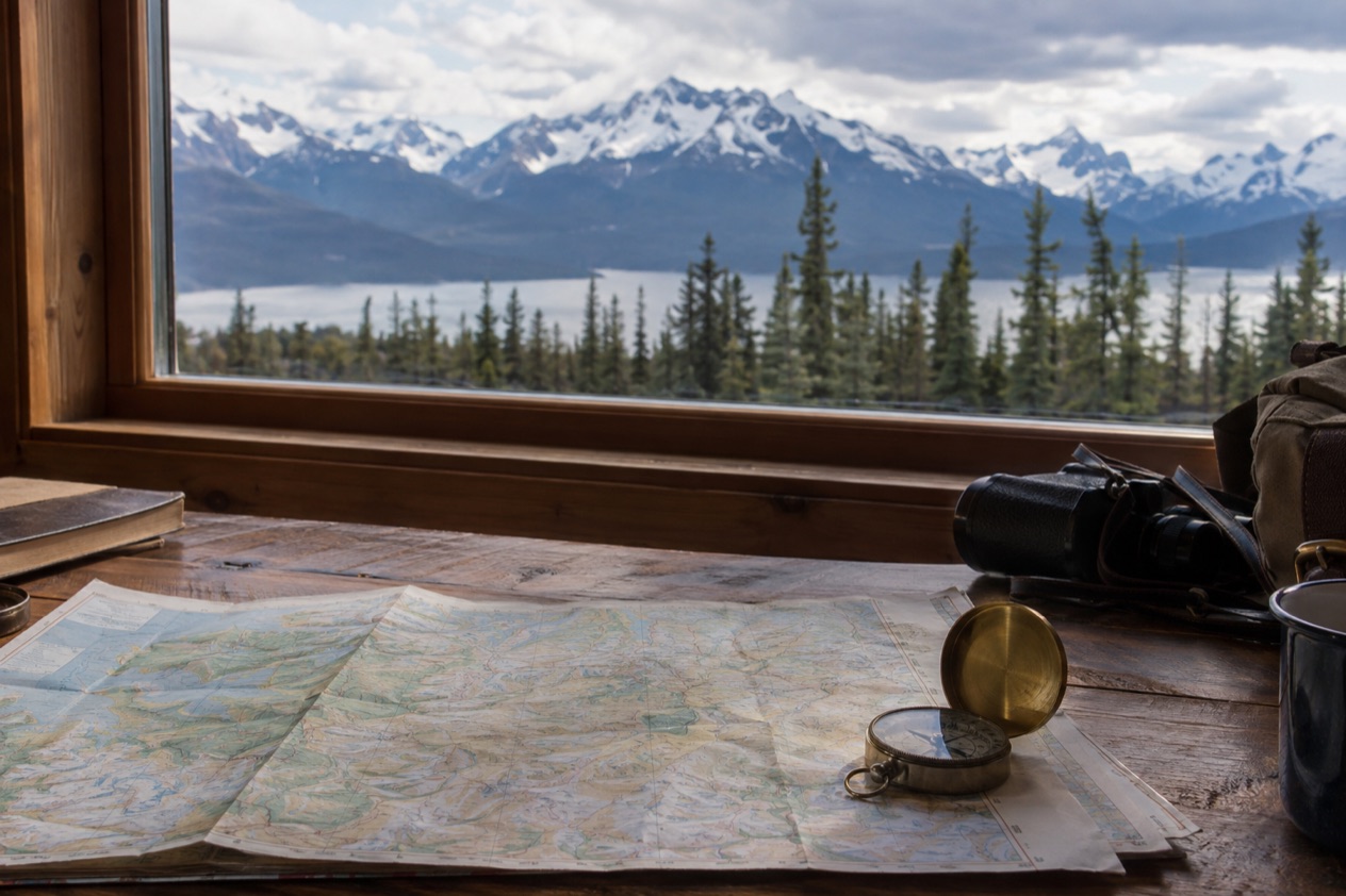
What are the basic facts about Alaska?
Alaska is the largest state in the country by a wide margin, and it holds far fewer people than its size suggests.Its capital is Juneau, a city you cannot reach by road from the rest of North America.
| Fact | Detail |
|---|---|
| Area | 586,000 square miles |
| Statehood | January 3, 1959 (49th state) |
| Capital | Juneau |
| Highest peak | Denali, 20,310 feet |
| Largest national forest in the U.S. | Tongass, Southeast Alaska |
| Visitors each year | More than 1.4 million |
| State flower | Forget-Me-Not |
How the state came to be
The road to statehood was long. Alaskans voted for a statehood referendum in 1946, wrote their constitution at a convention at the University of Alaska in Fairbanks in 1955, and approved it in 1956. President Eisenhower signed the Statehood Act on July 7, 1958, and a special election that August saw 40,452 voters favor immediate admission against 8,010 opposed.
A statehood campaign sign is still on display at the Sitka Historical Museum, a small piece of that effort you can see in person. Before statehood, the territory’s capital was already Juneau, under the Second Organic Act of 1912.
A capital without a road
Juneau sits apart from the highway system, and much of Southeast Alaska works the same way. Only Haines, Hyder and Skagway have direct road connections to the North American road network. Other communities in the region rely on the Alaska Marine Highway, the state ferry system.
That shapes how the Inside Passage feels: towns are linked by water, and the ferry is part of daily life rather than a sightseeing extra. The Alaska Marine Highway System runs a ferry from Bellingham, Washington to Haines through the Inside Passage, and reservations should be made early because it fills up fast.
Holidays on the calendar
Alaska observes all federal holidays except Columbus Day. It adds two of its own: Seward’s Day on the last Monday in March, and Alaska Day on October 18, a legal holiday marking the formal transfer of Alaska from Russia to the United States at Fort Sitka in 1867.
Sitka, where that transfer took place, is the natural place to think about the day. For visitors, it simply means that a mid-October date carries local meaning, and some public offices will be closed.
What is Alaska known for?
Alaska is known for superlatives: the tallest mountain in North America, the biggest national forest, the largest wildlife refuge and the northernmost city in the country. Add dramatic tides, glaciers of rain and snow in some regions, and Indigenous cultures that predate the state by a long stretch, and you have the outline of its reputation.
Mountains, forests and refuges
Denali, inside Denali National Park and Preserve, rises 20,310 feet and is the highest mountain on the continent. Tongass National Forest, in Southeast Alaska, is the largest national forest in the United States.
In the far north, the Arctic National Wildlife Refuge covers 16 million acres, making it the largest wildlife refuge in the world. It is managed by the U.S. Fish and Wildlife Service. Utqiaġvik, formerly called Barrow, sits on the North Slope as the northernmost city in the country, and snow may fall there in any month of the year.
Tides, rain and snow
Turnagain Arm, just south of Anchorage, has a tidal difference of more than 35 feet. It is one of the state’s best-known natural curiosities.
The weather varies widely from one region to the next. Juneau receives over 50 inches of precipitation a year, while some parts of Southeast Alaska get as much as 275 inches.
Valdez can see up to 300 inches of snow, and Anchorage gets about 16 inches of precipitation and around 75 inches of snow. At the dry end, the northern side of the Seward Peninsula counts as a desert, and the North Slope sees as little as 4 inches of rainfall equivalent in a year.
Temperature extremes
Fort Yukon holds the state’s record high of 100°F, set on June 27, 1915. Prospect Creek Camp holds the record low of minus 80°F, set on January 23, 1971.
In Fairbanks, ice fog can be a significant hazard in especially cold spells between November and March. Near Palmer, strong southeast winds called the Knik wind blow often, especially in winter.
Alaska Native peoples and the Permanent Fund
Alaska Natives are the Indigenous peoples of the state, among them the Iñupiat, Aleut, Yupik, Eyak, Tlingit, Haida, Tsimshian and several Northern Athabaskan groups. Most are enrolled in federally recognized tribes that belong to the 13 Alaska Native Regional Corporations, which manage land and financial claims. Except for the Tsimshian, Alaska Natives no longer hold reservations, though they control some lands. Russian Orthodox congregations, made up mostly of Alaska Natives, are found across the state.
Alaska is also known for the Permanent Fund, which pays an annual dividend to eligible residents and is often described as the only example of a basic income in practice. The payout has ranged from $331.29 in 1984 to $3,284 in 2022. Alaska has no state income tax, though the dividend is subject to federal income tax.
What should visitors know first?
Visitors should know first that Alaska’s distances and its road network shape every plan. The state is huge, many towns have no road link, and several services depend on the season, so what you can do depends on where and when you go.
Driving and rental cars
Travelers from the contiguous states can drive to Alaska on the Alaska Highway through Canada, which is paved and maintained year-round. Within Alaska, many rental car companies prohibit their vehicles on the Dalton, Denali, Steese and Cassiar Highways and on the Nabesna and McCarthy Roads, and insurance may not cover damage there.
Outside urban centers in winter, roads are generally not cleared down to the pavement, and sand is used instead of salt. Rental cars may not have appropriate tires for those conditions.
Tunnels, trains and ferries
The Anton Anderson Memorial Tunnel links the Seward Highway to Whittier. It is a one-lane tunnel shared with train tracks, which can mean waits of up to 45 minutes, so check the schedule for specific times.
In Skagway, the White Pass and Yukon Route train runs to Carcross, Yukon, from May to early October. Ferries along the Inside Passage connect the communities that have no road, and the Bellingham to Haines route fills up fast.
Drinks and local flavor in Homer
In Homer, the fresh ales of Homer Brewery are available only in the Homer area, so a pint there is a local souvenir of sorts. The Bear Creek Winery offers free tastings daily and has a small number of luxury rooms to rent. Statewide, alcohol may not be sold in the same store as groceries, and an intoxicated person may not remain on the premises of a licensed establishment.
Good to know before you go
Alaska has no state income tax, and its holidays follow the federal calendar with the two additions noted above. Winter brings ice fog in Fairbanks and snow-packed roads outside the cities, while the White Pass and Yukon Route stops running after early October. Check ferry and tunnel schedules before you set out, and match the trip to the region, since a rainforest town and a northern desert can sit in the same state.
Sources
- Wikipedia, Alaska (https://en.wikipedia.org/wiki/Alaska), checked October 11, 2026
- Wikivoyage, Alaska (https://en.wikivoyage.org/wiki/Alaska), checked October 11, 2026
- Wikipedia, Climate of Alaska (https://en.wikipedia.org/wiki/Climate_of_Alaska), checked October 11, 2026