
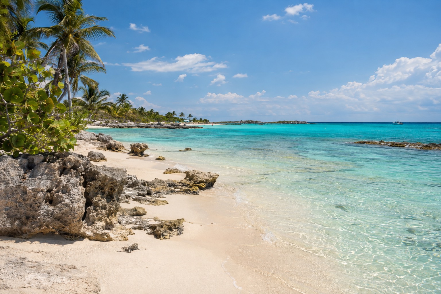
Early in the morning the lagoon at Bacalar is almost motionless, and the water shifts from pale turquoise to deep blue in bands you can follow with your eye from a wooden dock. Behind you, the town wakes up slowly around its plaza and the old fort. Bacalar is a quiet freshwater lagoon town in southern Quintana Roo, made for people who want to slow down and spend their days on the water.
Where is Bacalar and what is it like?
Bacalar sits in the far south of Quintana Roo, on the western shore of a long inland lagoon, not on the Caribbean coast, with Chetumal as the nearest city. It is a small Mexican town that holds the federal Pueblo Mágico designation and wraps around a lake instead of a beach.
The pace is gentle. The center is a grid of streets around a main plaza and the San Felipe Fort, with a handful of restaurants and bars but no loud clubs and no beach-party scene. The lagoon has no ocean waves, and instead of sandy beaches you find wooden docks, hammocks and private piers.
Couples, families, nature lovers and travelers who like to do very little will feel at home. If you want big resorts, nightlife or a long stretch of sand, the Cancun and Riviera Maya coast is a better match.
What is there to do in Bacalar?
The big reasons to come are the lagoon, its cenotes, its living stromatolites and the easy rhythm of the town. What sets Bacalar apart from its Caribbean neighbors is that the water here is fresh, still and pale-bottomed, so the whole visit revolves around a lake instead of the sea.
The Lagoon of Seven Colors
The nickname comes from the bands of turquoise and blue that change with the depth of the water over a pale limestone bottom. Most people see it from a dock, from a kayak or paddleboard (many lodgings along the shore lend them), or from a boat tour that glides across the colors.
Local rules limit motorized boat traffic and speed in parts of the lagoon, to protect the water’s clarity and its stromatolites. The result is a quieter lagoon than you might expect. Early morning and the hour before sunset are the softest times on the water, and lodgings along the Costera have the best sunset views.
Stromatolites and Cenote Azul
The lagoon holds living stromatolites, layered microbial formations that are among the rare living examples of one of Earth’s earliest life forms. They look like pale, lumpy rocks near the shore, which is why the rules on boats matter so much here.
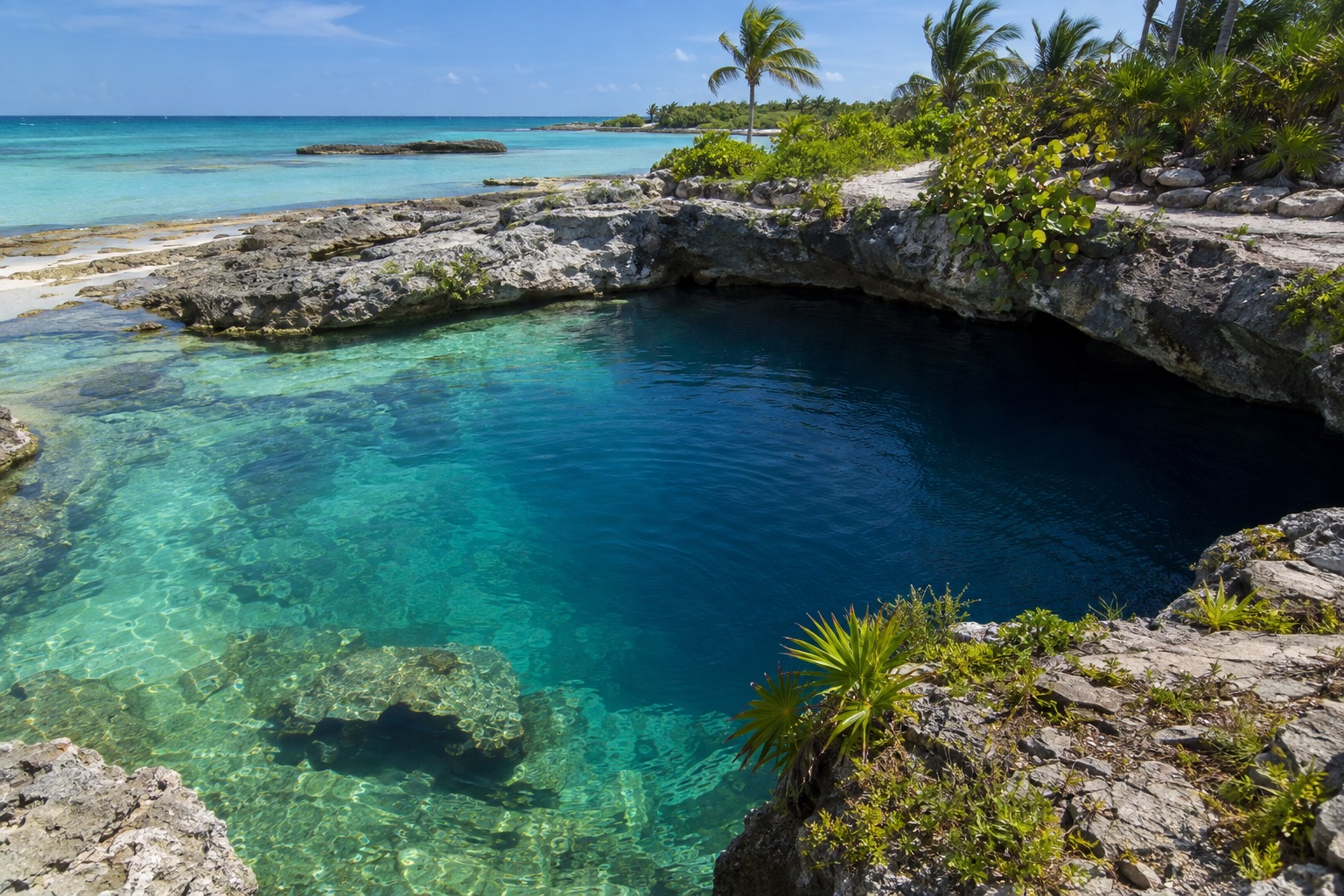
A few cenotes open right into the lagoon, where the water drops sharply deeper than the lagoon around it, and Cenote Azul, a separate and very deep round cenote, sits just beside the shore. It lies in the more natural southern part of the shore, a short drive or taxi ride from the center, and the Los Rápidos site is farther south. A rental car or bicycle makes this stretch much easier, and strong insect repellent is worth carrying at dawn and dusk near the mangroves.
The town and the quiet villages
In town, you stroll from the plaza to the San Felipe Fort, then settle into a local eatery for a long lunch. The evening is low-key, with a drink at one of the few bars.
For a more local feel, the village of Xul-Ha is a quiet place with few street lights, a calm, clear stretch of lagoon and very few services. It is a trip for people who like village life more than sights.
How many days do you need in Bacalar?
A long weekend is enough to see the essentials, and a week lets you settle into the lagoon’s rhythm.
In a short stay you can fit a morning on the water, a sunset from a dock, the fort and plaza, and an afternoon at Cenote Azul. Bacalar rewards slowing down, so people who arrive with a long list often end up crossing half of it off to stay on the dock.
With more time, you can add the village of Xul-Ha, a day in Chetumal, or a few lazy days at a lakeside cabaña with kayaks at the door. Many travelers pair Bacalar with the Caribbean coast, but the longer drive from Cancun makes it a real change of scene.
Where to stay in Bacalar
The town center suits budget travelers, backpackers and anyone who wants to walk to local eateries and bus stops. Lodging is small guesthouses, hostels and simple hotels, and most do not have direct lagoon access, though the lagoonfront is a short walk. Rooms fill quickly in the high season from December to March, so book early.
The Costera strip along the western shore is the choice for couples and families who want boutique hotels, cabañas and eco-lodges with terraces, docks and sunsets. Most properties are an easy walk or short taxi ride from the center. If swimming from your property matters, confirm that it has direct lagoon access, since some waterfront stretches are private.
South toward Cenote Azul, the shore is more spread out, with mangrove edges, eco-cabañas, lodges on larger lots and only the sounds of nature at night. It suits nature lovers, longer stays and travelers with a rental car. Xul-Ha offers simple guesthouses, a few cabañas and homestay-style rooms for people who want solitude and an authentic village.
How do you get to Bacalar and get around?
Bacalar has no airport of its own. The nearest is at Chetumal, smaller than Cancun’s, and from there it is about a 30- to 40-minute drive or bus ride to the center. Most visitors arrive by road, either from Chetumal or on the longer drive north from Cancun.
In town, you can walk, and many visitors use bicycles, taxis or colectivos to reach the lagoonfront and nearby villages. Along the Costera, walking or biking to the center works well, with taxis for longer trips.
A rental car or bicycle is the most practical choice along the southern shore, since public buses do not run often there. Xul-Ha needs a car, taxi or colectivo, and it is wise to stock up on cash and groceries in Bacalar first, as shops and ATMs are scarce.
When is the best time to visit Bacalar?
The high season runs from December to March, and it is when most people choose to come, with the lagoon inviting for long days on the docks. It is also when the town center fills quickly, so rooms go early.
The Atlantic hurricane season, which governs the Yucatán Peninsula including inland Bacalar, runs from June 1 to November 30. Outside that window the weather is generally kinder to planning, and during it you can expect heat, humidity and rain showers, with quieter streets and easier room availability. Whatever the month, the sunrise and sunset hours on the lagoon are the loveliest, and mosquitoes are most active then.
Good to know before you go
The U.S. State Department rates Quintana Roo Level 2, ‘Exercise increased caution’.
Bring pesos in cash, since shops and ATMs are scarce in the smaller villages, and keep the usual travel habits you would anywhere in Mexico. Visitors to Quintana Roo pay a few state charges, listed here.
| Fee | Amount | Who pays |
|---|---|---|
| Visitax (state visitor fee) | 2.50 UMA, about 293 pesos | Every foreign visitor entering Quintana Roo |
| Lodging tax (Impuesto Sobre Hospedaje) | 5% of the billed accommodation value | Guests at accommodations in Quintana Roo |
| Lodging tax on short-term rentals | 6%, when a host or booking platform collects payment | Guests renting short-term accommodation |
Sources
- APIQROO, "Empresa" (apiqroo.com.mx), checked September 29, 2026
- Congreso del Estado de Quintana Roo, Ley del Impuesto al Hospedaje del Estado de Quintana Roo, art. 8, congresoqroo.gob.mx, checked September 29, 2026
- Ley de Derechos del Estado de Quintana Roo, art. 51-Octies, congresoqroo.gob.mx, checked September 29, 2026
- U.S. Department of State, travel.state.gov, checked September 29, 2026 (date issued May 29, 2026)
- NOAA National Hurricane Center, nhc.noaa.gov, checked September 29, 2026