
Somewhere past the last gas station on the Parks Highway, the houses thin out, the spruce closes in, and a sign for a lake or a trailhead is the only hint of anyone nearby. Moments like that are when travelers start wondering who actually lives in this place and where they all are. The short answer is that Alaska holds very few people for its size, and most of them cluster in a handful of towns around Anchorage, Fairbanks and the Southeast panhandle.
How many people live in Alaska?
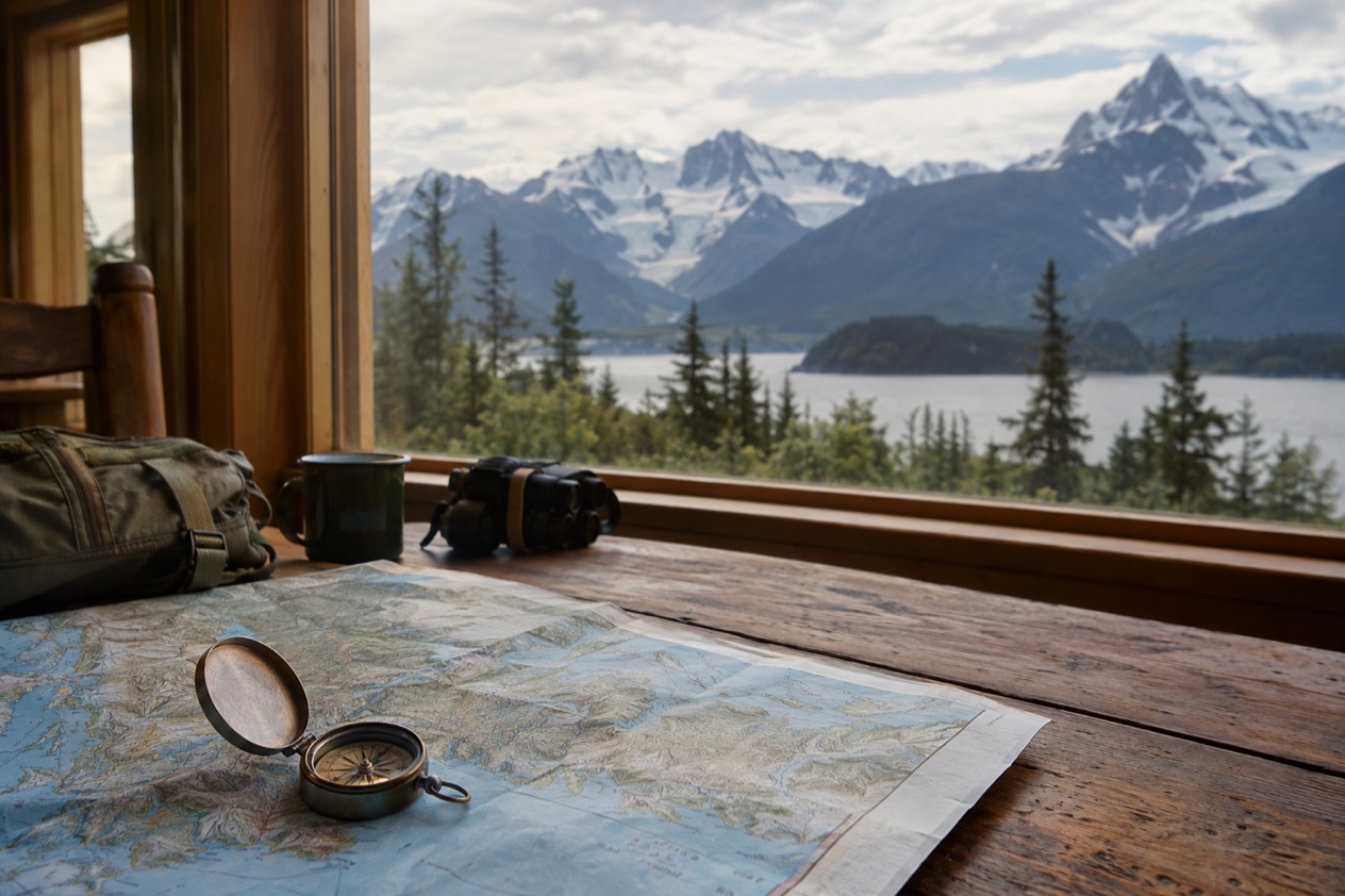
Not many for a state this big: Alaska is by far the largest in the country at 586,000 square miles, and it is sparsely populated. That mismatch shapes almost everything about a visit. Distances between towns are long, many communities sit away from any highway, and the quiet between settlements is part of what people come for.
It also means the state feels different depending on where you stand. In a city like Anchorage you find the usual run of grocery stores, traffic lights and airport crowds.
A state of small communities
Gustavus, the doorstep to Glacier Bay National Park, is a good picture of the Alaska that most of the map is made of. It is a community of 450 year-round residents, with a handful of inns, a small dock and a road that runs out to the park headquarters at Bartlett Cove. Residents there know each other by name, and the town’s rhythm follows the park’s visitors.
Many Alaska towns work this way. A small year-round core of residents hosts a larger crowd of seasonal workers and visitors, and the shops, boats and lodges are tuned to that rhythm. When you walk into a town this size, talking with the person at the counter is often how you learn what is going on.
Visitors, and the crowds they make
More than 1.4 million people visit Alaska each year, and tourism is an important source of revenue for the state. You feel that most in the port towns. Juneau sees a daily influx of 16,000 people or more from visiting cruise ships between May and September, so a quiet capital becomes a crowd of day-trippers on its sidewalks, in its shops and at the Mendenhall Glacier.
The cruise rhythm is easy to read once you notice it. Mornings bring the rush from the docks, afternoons bring the buses back, and the evening belongs to residents again. The same pattern, on a smaller scale, shapes other waterfront towns of the panhandle.
Animals that also count
If you count by head, wildlife makes a serious showing. About 175,000 to 200,000 moose are widely distributed across the state, and Alaska has more than 30,000 bald eagles. Travelers see their first moose standing beside a road or a suburban street, which is a reminder that the wild is never far from the towns.
The animals share space with people in the cities too, and in the Anchorage Bowl moose are a hazard to drivers. Around Anchorage live approximately 250 black bears and 60 grizzly bears. These animals are why parks and agencies post their own safety rules, which are worth reading when you arrive.
Which are the biggest cities?
Anchorage is the biggest city by a wide margin, with Fairbanks and the capital, Juneau, among the best-known others.
| City | Population (2020 census) |
|---|---|
| Anchorage | 291,247 |
| Fairbanks (city proper) | 32,515 |
Anchorage
Anchorage sits in Southcentral Alaska at the head of Cook Inlet, and it began as a tent city near Ship Creek when Alaska Railroad construction started. It still works as the state’s front door. Ted Stevens Anchorage International Airport is the world’s third busiest for cargo traffic, and the Port of Alaska receives 95 percent of all goods destined for the state.
Fishing for salmon at Ship Creek, right beside downtown, is popular in summer. Walk the city’s trails and shoreline with care, though: visitors are warned not to walk on the mudflats because of extreme tides and fine glacial silt.
Fairbanks
Fairbanks is the main city of the Interior, a home rule city and the seat of the Fairbanks North Star Borough. It grew from a trading post that E. T. Barnette set up on the Chena River in August 1901, and it was incorporated as a city on November 10, 1903. The river still runs through town, and the old gold-rush story is part of how the place sees itself.
It is also known for its climate. Fairbanks is the coldest city in the United States among cities of at least 10,000 people, and its January mean sits below zero while July runs in the low 60s.
The aurora borealis is visible on average more than 200 days per year in the vicinity, which is a chance rather than a promise on any one night. In summer, the Alaska Railroad operates tourist trains to and from the city.
Juneau, the capital without a road
Juneau is the capital of Alaska, set along the Gastineau Channel in Southeast Alaska, and it has no roads connecting it to the rest of Alaska or the contiguous United States. Everything arrives by plane or boat. That one fact explains the feel of the town, from the busy waterfront to the way locals plan trips around the ferry and the airport.
There is plenty to see on foot. The Alaska State Capitol downtown was built as the Federal and Territorial Building in 1931, the Empty Chair Memorial in Capital School Park remembers the removal of Juneau’s Japanese community during World War II, and Tahku, a life-sized bronze humpback whale, rests near the water. Across on Douglas Island, the city runs the Eaglecrest ski resort and the Treadwell rink, which turns to rollerblading, roller hockey, tennis, basketball and concerts from April to September.
Wasilla and the valley towns
Wasilla, in the Matanuska-Susitna Valley, is a city people picture only as a name, yet it is a lively base of its own. Nearly one third of its people drive the 40-minute commute to work in Anchorage every day, so the Parks Highway doubles as a main street between the two. The headquarters of the Iditarod Trail Sled Dog Race is here, and the Museum of Alaska Transportation and Industry tells the story of the machines and people who opened the state.
Wasilla Lake and Lake Lucille are both inside city limits, and the city runs a large campground and boat launch on Lake Lucille as well as Newcomb Park on Wasilla Lake. The valley is also a gateway: Alaska State Parks operates the Finger Lake State Recreation Area and the Little Susitna River Public Use Area, the way into a 300,800-acre public game reserve.
How is the population spread?
Unevenly: a few hubs hold the people, and the rest of the state is dotted with small communities that often have no road link at all. Where someone lives usually follows a port, a railroad, a river or a highway, and the map of towns looks more like a scattering of islands than a grid.
Southcentral and the road corridor
The Anchorage area is the center of gravity. Wasilla and the valley towns feed into it by highway, and the port and airport make it the supply point for the rest of the state. Travelers who arrive by plane in Anchorage are landing in the one place where services, rental offices and hotels are most concentrated.
Getting out of the area still takes some planning. The Anton Anderson Memorial Tunnel to Whittier is a one-lane tunnel shared with train tracks, which causes waits of up to 45 minutes, so checking the schedule matters. Many rental car companies also prohibit their vehicles on the Dalton, Denali, Steese and Cassiar Highways and on the Nabesna and McCarthy Roads, and insurance may not cover damage there.
Southeast, where boats replace roads
In Southeast Alaska, towns sit on islands and fjords with mountains behind them. Only Haines, Hyder and Skagway have direct road connections to the contiguous North American road system, so the other communities rely on the Alaska Marine Highway. The system runs a ferry from Bellingham, Washington, to Haines through the Inside Passage, and reservations should be made early because it fills up fast.
Skagway shows how a small town lives on the season. The White Pass and Yukon Route train runs from Skagway to Carcross, Yukon, from May to early October, so the town’s busiest stretch lines up with those months. Surrounding it all is the Tongass National Forest, the largest national forest in the United States.
The Interior and the far north
Fairbanks anchors the Interior, and from there the settlements get farther apart. Drivers coming from the lower 48 can reach Alaska on the Alaska Highway through Canada, which is paved and maintained year-round. In winter, outside the cities, roads are generally not cleared down to the pavement and sand is used instead of salt, so rental cars may not have appropriate tires.
At the top of the map is Utqiaġvik, formerly Barrow, the northernmost city in the United States, on the North Slope. Beyond it the Arctic National Wildlife Refuge covers 16 million acres, managed by the United States Fish and Wildlife Service and the largest wildlife refuge in the world. In places like these, the animals and the land clearly outnumber the people.
Good to know before you go
Alaska observes all federal holidays except Columbus Day, and adds Seward’s Day on the last Monday in March and Alaska Day on October 18, which marks the 1867 transfer from Russia to the United States at Fort Sitka. In a state of small towns, a holiday can change what is open, so plan around it.
Alcohol cannot be sold in the same store as groceries, and an intoxicated person may not remain on the premises of a licensed establishment. In Homer, the fresh ales of Homer Brewery are only available in the Homer area, and Bear Creek Winery offers free tastings daily.
Sources
- Wikipedia, Alaska (https://en.wikipedia.org/wiki/Alaska), checked October 11, 2026
- Wikipedia, Anchorage, Alaska (https://en.wikipedia.org/wiki/Anchorage,_Alaska), checked October 11, 2026
- Wikipedia, Fairbanks, Alaska (https://en.wikipedia.org/wiki/Fairbanks,_Alaska), checked October 11, 2026
- Wikipedia, Juneau, Alaska (https://en.wikipedia.org/wiki/Juneau,_Alaska), checked October 11, 2026
- Wikipedia, Wasilla, Alaska (https://en.wikipedia.org/wiki/Wasilla,_Alaska), checked October 11, 2026
- Wikivoyage, Alaska (https://en.wikivoyage.org/wiki/Alaska), checked October 11, 2026
- Alaska Department of Fish and Game, Moose species profile (https://www.adfg.alaska.gov/index.cfm?adfg=moose.main), checked October 11, 2026
- Celebrity Cruises, Alaska cruises (https://www.celebritycruises.com/cruise-destinations/alaska-cruises), checked October 11, 2026
- National Park Service, Glacier Bay National Park & Preserve, plan your visit: eatingsleeping (https://www.nps.gov/glba/planyourvisit/eatingsleeping.htm), checked October 11, 2026
- National Park Service, Glacier Bay National Park & Preserve, plan your visit: goodsandservices (https://www.nps.gov/glba/planyourvisit/goodsandservices.htm), checked October 11, 2026
- National Park Service, Lake Clark National Park & Preserve, plan your visit: conditions (https://www.nps.gov/lacl/planyourvisit/conditions.htm), checked October 11, 2026
- Visit Anchorage, wildlife viewing (https://www.anchorage.net/outdoors/wildlife-viewing/), checked October 11, 2026