
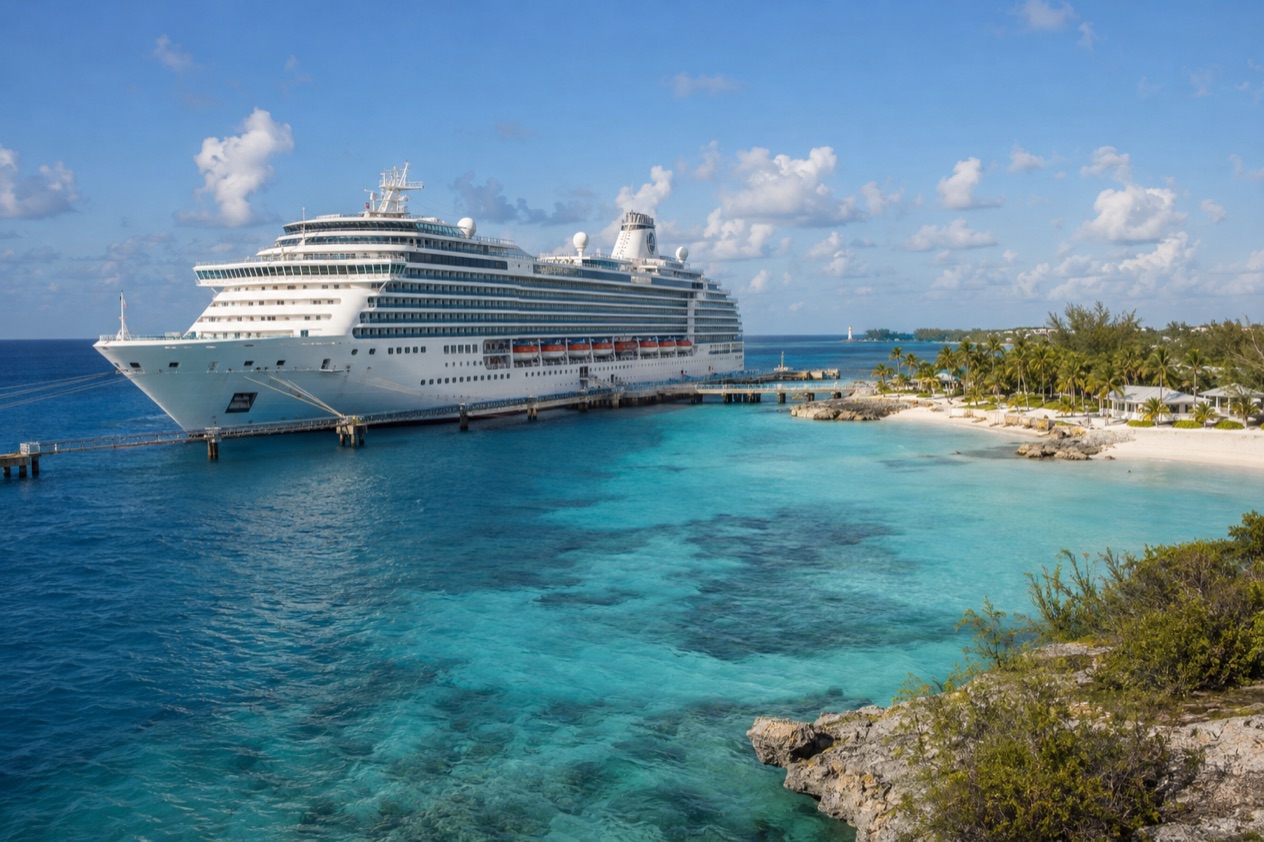
On the top deck of a ship easing toward Nassau, the question usually surfaces over coffee: was this the right month to sail? Water that looks like blue glass, a breeze that smells of salt and sunscreen, and a long line of passengers waiting at the rail. For most travelers the winter and spring months, from about December through April, bring the driest and most comfortable air, while the hot months trade a warmer sea for more rain and the hurricane season.
When is the best time for a Bahamas cruise?
The most comfortable months for a Bahamas cruise run from December through April, when Nassau stays warm without turning heavy and rain falls on only a few days. Afternoons in that stretch sit around 80°F, which suits a day of walking Bay Street, shopping at the Straw Market or sitting on a beach chair with a cold drink. Evenings turn cool enough that a light sweater on deck feels right.
Summer asks for a different kind of vacation. The sea is at its warmest, the sun is strong, and the days are built around shade, water and slow afternoons. Showers tend to arrive as short, heavy bursts, often followed by sun again, and the heat suits travelers who plan to spend the day swimming and lounging rather than walking around town.
Winter and early spring: the comfortable months
From December to March, a Bahamas port day is easy on the body. You can wander Nassau’s streets, stroll Paradise Island or spend a long afternoon at a beach without the heat pressing on you. Fewer rainy days means fewer plans rearranged at the last minute, and the mood in port is relaxed and sunny.
April sits at the turning point. The air warms noticeably, the sea begins to climb, and the days still stay mostly dry. It is a good choice for travelers who want beach weather without waiting for summer, and who like water that starts to feel pleasant for a dip.
Late spring and summer: warm sea, more showers
May is a bridge month, with the sea warming quickly and showers becoming more frequent. By June, July and August the air is hot and humid, with rain on more than a third of the days. Mornings are often the best time for sightseeing, and a midday retreat to shade or air conditioning is part of the rhythm.
Summer suits families on school vacation, beach lovers and anyone who wants warm water above all else. The trade is humidity, brief downpours and the fact that the Atlantic hurricane season is under way, which is covered in its own section.
Autumn: the shift back to comfort
October still feels like summer, with warm seas and a fair number of rainy days. November is the turning point, when the air eases, the showers thin out and the sea remains warm enough to enjoy. Travelers who like a quieter, softer light often find late autumn a pleasant moment to sail, with the season’s storm activity winding down toward the end of the month.
Whatever the month, each port of call in the Bahamas offers its own experiences, and Nassau and Paradise Island offer a fast-paced day for cruise passengers. Match the pace you want to the weather you prefer, and the choice of month becomes simple.
What about hurricane season?
The Atlantic hurricane season runs from June 1 to November 30, so a cruise in those months sails during it, and cruises in the other months fall outside the official season. The Bahamas lie in the Atlantic, and the Atlantic basin, as the National Hurricane Center defines it, also takes in the Caribbean Sea and the Gulf of America.
The season has a rhythm. Activity builds slowly through the summer, peaks around September 10, and most of it falls between mid-August and mid-October. June and the weeks around the end of November sit at the edges of the season, though tropical cyclone activity sometimes occurs before and after the official dates.
How to read the season when you plan
Think of the season in three parts. The early weeks of June and the last weeks of November are the quiet edges. The long middle, with its peak in early September, is the stretch when storms are most likely to form. Travelers who want the most settled sky tend to plan outside the season altogether, from December onward through May.
Sailing during the season is a choice many people make for the warm sea and the summer calendar. It simply means watching the forecast as your departure approaches and staying flexible, since a storm out in the Atlantic can reshape a ship’s plans even when the Bahamas themselves see only clouds.
Where to follow storm news
The Bahamas Ministry of Tourism & Aviation monitors tropical storms and hurricanes in the Atlantic Ocean. Travelers are encouraged to check the Bahamas.com hurricane page regularly for updates on storm-related weather conditions, and that page also carries downloads and shelter information.
A good habit is to look at it in the days before you sail and again once you are on board, when the ship’s own announcements add to what you read. Storms are tracked well ahead of time, and a calm morning in port is often the result of plans that were adjusted days earlier.
What is the weather like by month?
Nassau stays warm in every month, with afternoon highs from near 80°F in winter to about 91°F in August, and the main differences from month to month are rain, humidity and sea temperature. The table gives Nassau’s air figures and the sea surface near Nassau, which is what most cruise passengers feel on a port day there.
| Month | Avg high (°F) | Avg low (°F) | Rain (inches) | Rain days | Sea (°F) |
|---|---|---|---|---|---|
| January | 79.4 | 65.1 | 2.6 | 4.3 | 77.0 |
| February | 80.0 | 65.0 | 1.99 | 4.3 | 76.0 |
| March | 81.3 | 66.0 | 2.24 | 4.5 | 77.5 |
| April | 83.7 | 69.1 | 2.45 | 5.8 | 78.7 |
| May | 86.5 | 72.0 | 4.81 | 7.5 | 82.6 |
| June | 89.1 | 75.1 | 8.26 | 12.4 | 85.3 |
| July | 90.8 | 76.4 | 5.77 | 12.4 | 87.8 |
| August | 91.0 | 76.4 | 7.55 | 14.4 | 87.6 |
| September | 89.9 | 76.0 | 6.71 | 13.3 | 86.7 |
| October | 87.1 | 74.1 | 5.27 | 10.1 | 84.6 |
| November | 83.1 | 70.1 | 3.31 | 6.7 | 80.9 |
| December | 80.6 | 67.0 | 2.25 | 5.1 | 78.1 |
What the year feels like
The winter months bring mild, bright days with cool evenings, and the sea is on the fresh side, so swimming is more of a quick dip than a long soak. From late spring the sea warms steadily, and by midsummer it is at its warmest. Rain stays light through spring, then rises as the hot months arrive, often in short, strong showers.
A gray day in port is rarely a lost day. Ships spend hours at the dock, and an hour of rain can pass while you browse the shops, sit in a café or tour an attraction indoors before the sun comes back out.
Matching the month to your plans
For walking, shopping and sightseeing, the cooler months from December to April are the natural pick. For beach days and time in the water, May through October offers the warmest sea, with September and October still feeling like summer. November and early December sit in between, with softer air and a sea that stays pleasant, and many travelers like them for that balance.
Good to know before you go
The U.S. State Department rates the Bahamas Level 2, “Exercise increased caution”, and says most crime occurs in Nassau on New Providence and in Freeport on Grand Bahama.
Travelers who need a visa for the Bahamas must get one for a cruise too, including those who fly in to join a ship that travels through the islands. Beyond that, the weather is the thing to watch, especially from June to November, when the Atlantic hurricane season is under way and a glance at the forecast before sailing is a sensible habit. Bring a light rain jacket for the showers of the warm months and a sweater for winter evenings on deck.
Sources
- NOAA National Hurricane Center, Climatology (https://www.nhc.noaa.gov/climo/), checked October 10, 2026
- Bahamas Ministry of Tourism, Investments & Aviation (bahamas.com), Hurricane and storm information (https://www.bahamas.com/hurricane-storm-information), checked October 10, 2026
- Wikipedia, Geography of the Bahamas (https://en.wikipedia.org/wiki/Geography_of_the_Bahamas), checked October 10, 2026
- Bahamas Ministry of Tourism, Investments & Aviation (bahamas.com), Getting here by cruise (https://www.bahamas.com/getting-here/cruise), checked October 10, 2026
- NOAA NCEI, GHCN-Daily station BF000078073 (Nassau Airport), normals 1991-2020 computed from the daily record (https://www.ncei.noaa.gov/access/services/data/v1?dataset=daily-summaries&stations=BF000078073), checked October 10, 2026
- Open-Meteo Marine API, average 2015-2024, checked October 10, 2026
- U.S. Department of State, The Bahamas Travel Advisory, Level 2 (https://travel.state.gov/), checked October 10, 2026
To plan your stay
- Castaway Cay Bahamas: Disney's Private Island, Beaches, Activities and Entry Documents
- Bahamas Cruise Ports: Nassau, Freeport, Private Islands and Which Stop Suits You
- Celebration Key, Grand Bahama: Carnival's Private Destination, Beaches, Lagoons and Cruise Lines
- Freeport Cruise Port: Celebration Key, Port Lucaya and Getting Around Grand Bahama