
In early September the talk on a Nassau dock turns to the same thing, the tropical waves marching across the Atlantic and the little spinning swirls on the forecast maps. Hurricane season in the Bahamas runs through the second half of the year, and traveling in it is a real choice, not a mistake. What follows covers when the season starts and ends, how storms have actually behaved, and what that means for a vacation planned in those months.
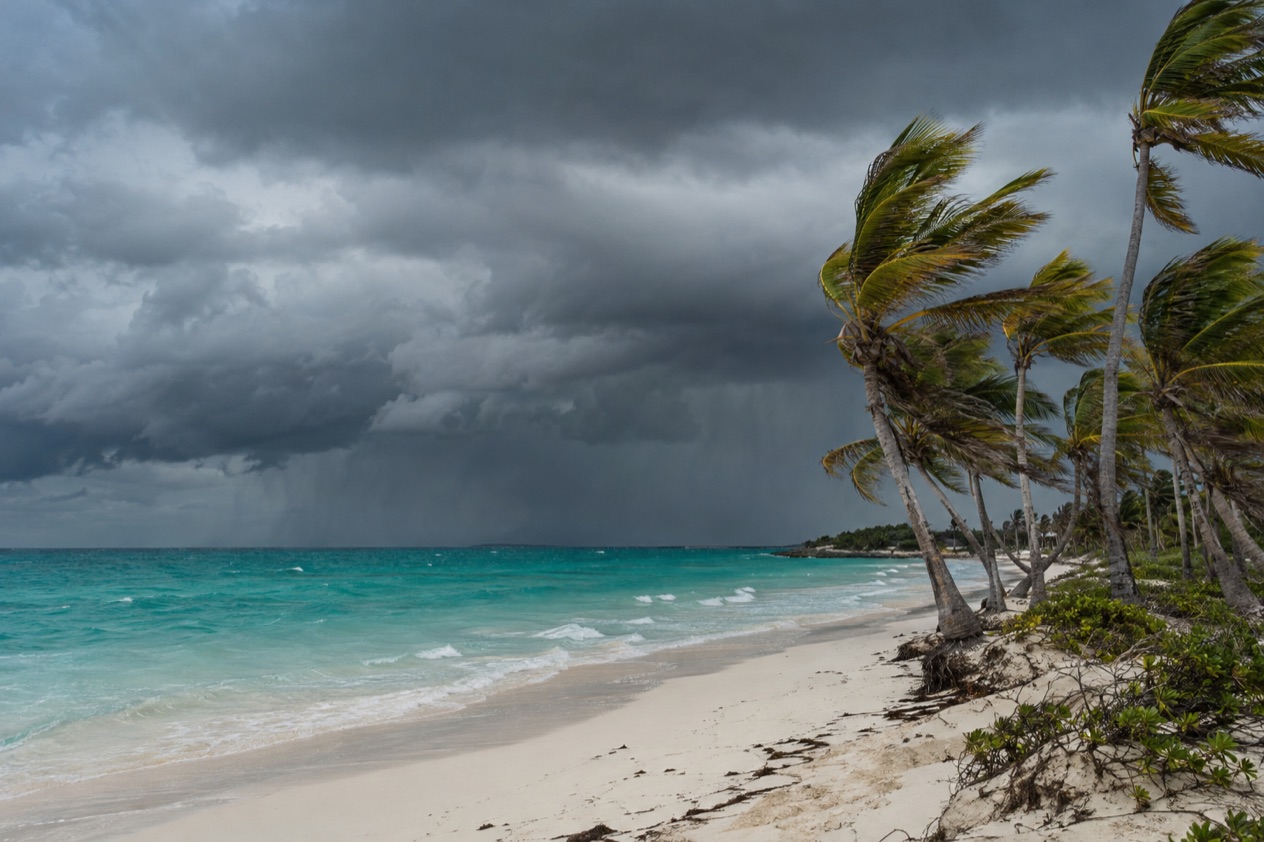
When is hurricane season in the Bahamas?
Hurricane season in the Bahamas runs from June 1 to November 30, the same dates as the Atlantic season, because the islands sit inside the Atlantic basin. They lie in the western Atlantic, in open water where storms that form far out to sea tend to pass.
Six months is a long window, but it is not evenly weighted. Storms are rare in the early weeks of June and again by late November. The season builds slowly through the summer, reaches its crest, and then fades. Tropical activity sometimes shows up before and after the official dates, so the calendar is a sense of the odds, not a wall.
The peak: mid-August to mid-October
The statistical peak of the Atlantic season falls on September 10, and most activity comes between mid-August and mid-October. That is the stretch when a storm is most likely to be churning somewhere in the basin, and when travelers with flexible plans watch the forecast most closely.
It also overlaps with the Bahamian wet season, which runs from May through October. In practice that means warm, humid days with highs in the upper 80s, and rain that often arrives as a heavy shower in the afternoon, then clears. Mornings are usually the better time for a boat, a beach or a walk through Nassau’s old streets before the clouds build.
What the months feel like in Nassau
In Nassau you can feel the weather change through the season, storm or no storm. Notice how October and November cool and dry out, which is why late-season trips can feel very different from September ones.
| Month (Nassau) | Average high (°F) | Average low (°F) | Rain (inches) | Rain days |
|---|---|---|---|---|
| June | 89.1 | 75.1 | 8.26 | 12.4 |
| September | 89.9 | 76.0 | 6.71 | 13.3 |
| October | 87.1 | 74.1 | 5.27 | 10.1 |
| November | 83.1 | 70.1 | 3.31 | 6.7 |
Where the forecasts come from
The Bahamas Ministry of Tourism & Aviation monitors tropical storms and hurricanes in the Atlantic and posts storm updates on the hurricane page of Bahamas.com, which travelers are encouraged to check regularly. That page also points to downloads and shelter information.
Storm tracks are mapped month by month, based on named storms or hurricanes whose centers passed within 150 nautical miles of a point over a 100-year period. Those maps show that the favored paths shift as the season moves along, one more reason a trip in June and a trip in October are not the same bet.
How often do hurricanes hit the Bahamas?
The Bahamas regularly experiences hurricanes, so storms are a normal part of life in these islands, but a direct hit on any one island in a given year is far from certain. The archipelago is hundreds of islands and cays, only 30 to 40 of them inhabited, spread over a wide stretch of the western Atlantic. A storm that batters one island can leave another untouched.
That geography matters more than any single statistic. The land is low. The highest point in the Bahamas is only 207 feet above sea level, on Cat Island, and New Providence, home to Nassau, rises just a little more than a hundred feet. Wind and surge have little to stop them, which is why residents take warnings seriously and why the islands are built to be evacuated and rebuilt.
Hurricane Dorian, the storm everyone remembers
Hurricane Dorian made landfall on Great Abaco on September 1, 2019, with sustained winds of 185 mph, and reached Grand Bahama the next day at nearly the same strength. The eyewall held over both islands with Category 5 winds for about 22 hours, and the storm stalled just north of Grand Bahama, battering it for at least 24 hours.
Storm surge of up to 23 feet swept away many buildings, and Grand Bahama International Airport was underwater on the morning of September 2. The death toll reached 74 by February 2020, 63 in Abaco and 11 in Grand Bahama. At least 70,000 people were left homeless, and the damage of $3.4 billion makes Dorian the costliest disaster in Bahamian history.
Which islands were touched, and which were not
Dorian’s damage was concentrated on two places, the Abacos and Freeport, which have been rebuilding. Nassau and Paradise Island, over 90 miles from the Abacos, felt no effect from the storm. Freeport lies even farther from Nassau than the Abacos do.
Fourteen other islands were completely unaffected and are welcoming travelers: Nassau and Paradise Island, Eleuthera and Harbour Island, Acklins and Crooked Island, the Exumas, Bimini, Andros, the Berry Islands, Cat Island, Long Island, Rum Cay, San Salvador, Inagua and Mayaguana. One storm, however enormous, does not describe the whole country, and an island-by-island view is the sensible way to read the risk.
Is it worth traveling during hurricane season?
It can be, if you accept that the weather is part of the bargain and you keep your plans loose, because most of the season brings warm sea, long days and ordinary tropical showers rather than a storm. The months are not all alike, though, and choosing among them is the real decision.
June and the shoulder weeks
June opens the season, and it is also one of the wetter months in Nassau, with showers on a good share of days. Storms are less typical this early, and the days are long and hot, with highs near 89 degrees. It suits travelers who like heat, a sea that has been warming for weeks, and a calendar still ahead of the peak.
September, the crest of the season
September sits at the center of the peak, and it is the month with the most rain days in Nassau. It is the month when travelers should be the most willing to change plans, watch the forecast and stay in touch with the hotel or the cruise line. A rainy afternoon is likelier than a storm, but the odds of a tropical system somewhere in the basin are at their highest.
October and November, cooling off
October stays warm and humid but starts to dry, and by November the nights feel gentler, with fewer rain days and highs in the low 80s. Activity is still possible until the season closes on November 30, and it sometimes lingers beyond. Late fall is when many visitors find the weather most comfortable while still inside the official window.
Choosing an island
Because each island is its own case, you can pick where to go as well as when. Nassau and Paradise Island, the Exumas, Eleuthera and Harbour Island, Bimini and Andros are among the islands welcoming visitors. Rebuilding continues in the Abacos and Freeport, so confirm what is open there before building a trip around them. Whatever you choose, follow the updates from the Bahamas Ministry of Tourism & Aviation, and check Bahamas.com for storm news as part of your planning, the way you would a flight confirmation.
Good to know before you go
The U.S. State Department rates the Bahamas Level 2, “Exercise increased caution”, and says most crime occurs in Nassau on New Providence and in Freeport on Grand Bahama.
The Bahamas dollar and the U.S. dollar are the money of daily life, but the thing to carry through hurricane season is attention: a forecast habit, a flexible schedule and a look at the Bahamas.com hurricane page before you leave and while you are there. Vacation rentals deserve a thought of their own, since travelers are asked to stay alert in properties without private security. Outside the official season, from December onward, tropical activity is not expected, though it sometimes occurs near the edges of the dates.
Sources
- NOAA National Hurricane Center, Climatology (https://www.nhc.noaa.gov/climo/), checked October 10, 2026
- Bahamas Ministry of Tourism, Investments & Aviation (bahamas.com), Hurricane and storm information (https://www.bahamas.com/hurricane-storm-information), checked October 10, 2026
- U.S. Department of State, The Bahamas Travel Information, Travel Advisory (Level 2) (https://travel.state.gov/), checked October 10, 2026
- Wikipedia, Hurricane Dorian (https://en.wikipedia.org/wiki/Hurricane_Dorian), checked October 10, 2026
- Bahamas Ministry of Tourism, Investments & Aviation (bahamas.com), travel blog, Abacos and Grand Bahama after Hurricane Dorian (https://www.bahamas.com/blog/things-to-know-when-visiting-the-bahamas-after-dorian), checked October 10, 2026
- Wikipedia, Geography of the Bahamas (https://en.wikipedia.org/wiki/Geography_of_the_Bahamas), checked October 10, 2026
- NOAA NCEI, GHCN-Daily station BF000078073 (Nassau Airport), normals 1991-2020 computed from the daily record (https://www.ncei.noaa.gov/access/services/data/v1?dataset=daily-summaries&stations=BF000078073), checked October 10, 2026
- U.S. Department of State, The Bahamas Travel Advisory, Level 2 (https://travel.state.gov/), checked October 10, 2026
To plan your stay
- Things to Do in the Bahamas: Beaches, Blue Holes, Swimming Pigs and Fish Fry
- Where to Stay in the Bahamas: Best Islands, Resorts, Boutique Stays and How to Choose
- Getting Around the Bahamas: Flights, Ferries, Mailboats and Taxis in Nassau
- Know Before You Go to the Bahamas: Entry Rules, Money, Getting Around and Local Customs