
On a dock on Ambergris Caye your shirt is already damp by breakfast. Up in the Cayo hills, rain drums on a tin roof while the forest steams. Belize keeps its own calendar, and it is built on rain rather than on heat.
The country is warm in every month, the sea stays warm too, and the south receives far more rain than the north. That is the short answer, and the rest is a matter of when you want the wet months and where you want to be.
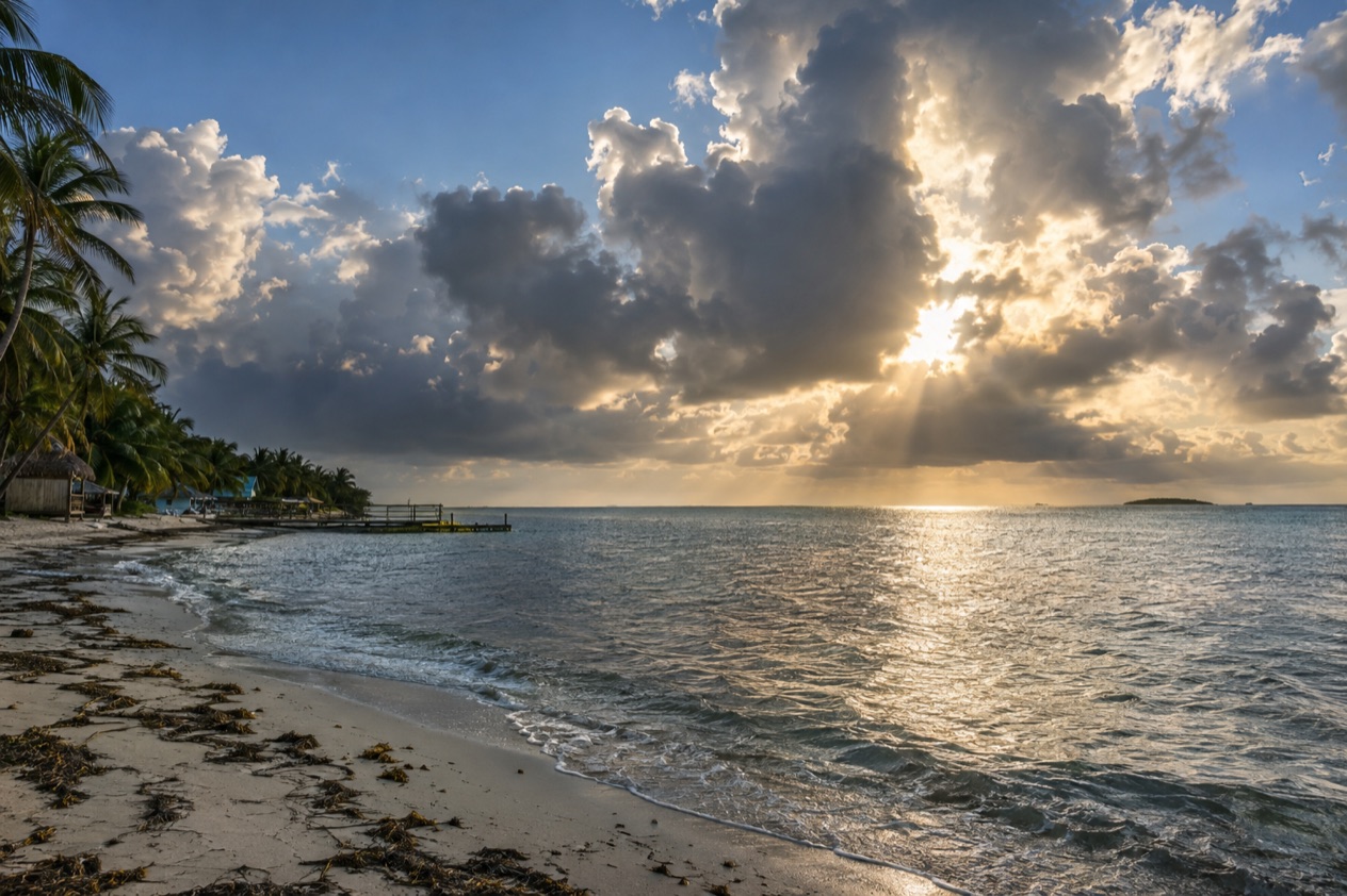
What is the weather like in Belize?
Belize has a tropical climate, warm all year, divided into a dry season and a rainy season. The rains run from June to November, and the dry months stretch from about January into May. Coastal averages climb from the mid-70s in January to the low 80s in July, so the change from one season to the next is felt more in humidity and cloud than in the thermometer.
The dry season is the one most travelers picture: bright light over the cayes and a green countryside that has not yet lost its color. The rainy season has its own character. Hillsides turn lush, rivers fill, and the forest feels louder. Plan around the rain rather than against it, and both halves of the year have their rewards.
Month by month in Belize City
The Belize City record gives a clear outline of the year. Heat builds steadily through the dry months and holds through the summer. Rain drops to its lowest point in March and April, then returns as the wet season settles in. October is the wettest month in this record, and it also has the most rainy days. By December the totals ease back, though the days of rain remain frequent.
| Month | Belize City average high (°F) | Belize City average low (°F) | Belize City rainfall (inches) | Belize City rain days |
|---|---|---|---|---|
| January | 83.2 | 68.0 | 4.97 | 10.3 |
| February | 84.9 | 70.0 | 2.62 | 5.6 |
| March | 86.4 | 71.7 | 1.42 | 3.9 |
| April | 88.6 | 74.8 | 1.81 | 3.3 |
| May | 89.9 | 77.0 | 3.80 | 5.3 |
| June | 89.4 | 77.7 | 8.10 | 10.0 |
| July | 89.3 | 77.0 | 5.73 | 11.8 |
| August | 89.8 | 76.8 | 6.27 | 11.0 |
| September | 90.0 | 76.3 | 6.93 | 12.5 |
| October | 88.1 | 74.3 | 10.15 | 13.7 |
| November | 85.5 | 71.0 | 8.17 | 11.4 |
| December | 84.2 | 69.3 | 4.73 | 10.3 |
A month with many rain days is one in which you will meet rain on a good share of your days, not one in which everything washes out. January and December, though counted among the dry months, still bring a fair number of wet days. Winter cold fronts can bring gray, damp stretches to the coast in the cooler part of the year.
Hurricane season
The Atlantic hurricane season runs from June 1 to November 30, and Belize sits in the Caribbean part of that basin. The peak comes in early September, with most activity falling between mid-August and mid-October. Belize’s own hazard notes point to hurricanes mostly from September to December, along with coastal flooding, especially in the south.
An average season brings 14 named storms, and not all of them come near Belize. A tropical storm carries winds of 39 to 73 mph, while a hurricane starts at 74 mph. The history is a reminder of what the strongest ones can do. An unnamed hurricane in 1931 destroyed over two-thirds of the buildings in Belize City, and Hattie devastated the city again in 1961.
A trip in the wet months can be a good one, with green landscapes and fewer people on the trails. Treat the storm season as part of the plan, keep an eye on the forecast as your dates approach, and keep your itinerary loose enough to bend.
How warm is the sea?
The Caribbean off Belize is warm in every month of the year, and it never turns cold. Along the coast the water runs from the low 80s in winter to the upper 80s in autumn. The Belize Barrier Reef, about 200 miles long and a UNESCO World Heritage Site, sits in that warm water, and its cayes, Lighthouse Reef, Glover’s Reef and the Turneffe Islands among them, share the same sea.
| Month | Sea near San Pedro, Ambergris Caye (°F) | Sea near Placencia (°F) |
|---|---|---|
| January | 81.4 | 81.0 |
| April | 82.6 | 84.3 |
| July | 85.7 | 86.4 |
| October | 86.5 | 87.1 |
Winter and spring: the cooler end
In January, the sea still sits well above what a Northern traveler thinks of as cool water. That matches the dry season, with its steadier skies and the cayes at their brightest. Spring lifts the sea a little further, and by April it has settled into the low-to-mid 80s on both stretches of coast.
A winter day on Ambergris Caye or at Placencia is a day of warm water, warm sand and a sea that invites you in without a pause at the edge. This is the stretch of the year that most often goes into a first trip itinerary because the weather and the water line up.
Summer and autumn: the warmest water
By July the water has climbed into the mid-80s, and October brings the highest readings of the four months, a little above the mid-80s near San Pedro and a little higher again near Placencia. That is also the wettest part of the year ashore and the heart of the hurricane season, so warm water and wet skies arrive together.
What this changes for you is simple. In the wet months the sea is the warmest it gets, and a day on a boat or a dock is still a warm one, even under cloud. The sea itself gives you no reason to skip any month, so the choice rests on rain, the storm season and how much sunshine you want to count on.
Two stretches of coast
The two places in the table sit on different parts of the coast. San Pedro lies on Ambergris Caye in the north, facing the barrier reef, and Placencia sits on its peninsula in the south. In January the two are close together. By April Placencia reads a little warmer, and in July and October it stays slightly ahead, though the gap between them is never large.
What changes between the coast and the interior?
Across Belize, rainfall changes most sharply from north to south, climbing steeply as you travel down the country. The north and west receive about 53 inches in a year, and the extreme south more than 177 inches. A trip to the Maya Mountains or the south coast is therefore a trip to a wetter, greener Belize than one to the north.
Rain from north to south
In the north and west, around Corozal, Orange Walk and the western Cayo District, the landscape opens into farmland, savanna and lowland forest, and the dry season is longer. In the south the dry season is shorter, normally lasting only from February to April, and the rest of the year can feel wet. If you are heading to Punta Gorda, the Toledo District or the rainforest around Cockscomb, plan for rain in your days even outside the main wet months.
This is also why the south looks the way it does. Rivers run fuller, the canopy is dense, and the vegetation is thick right down to the shore. A traveler who wants a drier, brighter stay in the dry season has more room to maneuver in the north.
On the coast and the cayes
The coast is a low, flat world of mangroves, lagoons and sand, with the barrier reef lying offshore and the cayes strung along it. Life here is shaped by the sea, and so is the weather.
Coastal flooding is among the natural hazards of the country, especially in the south, and hurricanes, when they come, strike the coast first. Belize City shows how mild the winter is and how warm the nights stay through summer.
For a traveler, the coast means sea breezes, boat days and water that stays warm through the year.
Inland and uphill
Inland Belize is a world of rivers, caves, rainforest and Maya sites, rising toward the Maya Mountains and the Cockscomb Range, where Doyle’s Delight, the highest point in the country, reaches 3,688 feet. Rain here is a fact of the rainy season, and rivers rise accordingly. The wet months bring thick green forest and a loud chorus of birds and insects, while the dry season offers clearer views and firmer ground on the trails.
Inland is not an escape from tropical weather. A tropical system can still bring days of heavy rain far from the sea, and that is the lesson of Belmopan, the planned capital founded inland about 50 miles from the coast after Hurricane Hattie. In the Cayo District, entering caves without a licensed guide is dangerous and illegal, which is worth remembering on any day when rivers run high.
Good to know before you go
The U.S. State Department rates Belize Level 2, “Exercise increased caution”, because of crime, and says the south side of Belize City has historically had the highest concentration of violent crime.
ATMs at Belize Bank, Scotiabank and Atlantic Bank accept Mastercard, which is useful when you are heading out to a caye or into the hills. Weather in the wet months is a reason to leave room in your schedule, since rain and storm systems can reshuffle a plan. Pack for warmth in every month and for rain in most of them.
Sources
- Wikipedia, Climate of Belize (https://en.wikipedia.org/wiki/Climate_of_Belize), checked October 11, 2026
- Wikipedia, Geography of Belize (https://en.wikipedia.org/wiki/Geography_of_Belize), checked October 11, 2026
- Wikivoyage, Belize (https://en.wikivoyage.org/wiki/Belize), checked October 11, 2026
- NOAA National Hurricane Center, Climatology (https://www.nhc.noaa.gov/climo/), checked October 11, 2026
- NOAA NCEI, GHCN-Daily station BHM00078583 (Philip S. W. Goldson International Airport, Belize City), normals 1991-2020 computed from the daily record (https://www.ncei.noaa.gov/access/services/data/v1?dataset=daily-summaries&stations=BHM00078583), checked October 11, 2026
- Open-Meteo Marine API, average 2015-2024, checked October 11, 2026
- U.S. Department of State, Belize Travel Advisory, Level 2, March 11, 2026 (https://travel.state.gov/), checked October 11, 2026