
PORT ANTONIO · MAY · 18.18° N
Port Antonio in May falls between two calendars. The winter high season is over, and the Atlantic hurricane season opens only in June. The sea off the Titchfield Peninsula averages 84.4°F at its daily peak. The cost of the date comes from the sky: this corner of the island takes 5.99 inches of rain in an average May, more than twice April’s 2.58.
You have already chosen the town, so the question left is the date. May sets up long, early days. On the 15th the sun rises at 5:31 a.m. and sets at 6:33 p.m. local time, and the coolest hours of the day come before breakfast. Plan around that clock and the rain becomes something you schedule, with a heritage walk at dawn, the sea at its warmest in the afternoon and the mountains on a clear morning.
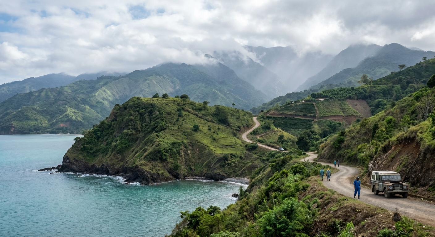
MAY AT A GLANCE · PORT ANTONIO
May suits early risers who swim and walk the old town before midday, as long as they accept measurable rain on about three days in seven.
ERA5 GRID-CELL NORMALS 1991-2020 · SEA 84.4°F DAILY MAXIMA · BEFORE HURRICANE SEASON
Go for: warm-water swims at dawn, the Titchfield Peninsula’s forts and Victorian lodge, and long days to fit the Maroon villages inland.
Think twice before: booking May for a dry week: this is the rainiest corner of Jamaica, and April averages 7.6 wet days against May’s 13.3.
Climate: Open-Meteo ERA5 reanalysis · Sea: Open-Meteo Marine API · Sites: Jamaica National Heritage Trust, UNESCO · full sources at the end
On this page
- Port Antonio weather in May83.1°F highs and 13.3 wet days
- Can you swim in May?A sea at 84.4°F, daily maxima
- Crowds and prices in MayBooking, lodging tax and the room upgrade to pay for
- Things to do in MayTitchfield Peninsula, Folly Point and Moore Town
- A two-day plan for MayTwo days set by the 6:33 p.m. sunset
- May, April or June?Rain from 2.58 to 5.99 inches across three months
- Is May a good time to visit?Who should book May and who should wait
Two nights fit the two-day plan, and a third gives you a spare morning if rain takes one. Routes and fares from American cities are in our US flights guide, the ride from the airport in airport transfers. For beds and budgets, see where to stay in Jamaica and what a Jamaica trip costs.
Port Antonio weather in May: average highs, lows and rain days
| May normal | Port Antonio |
|---|---|
| Average high | 83.1°F (28.4°C) |
| Average low | 75.3°F (24.1°C) |
| Precipitation | 5.99 in |
| Days with 0.10 in or more | 13.3 |
| Days with 1 in or more | 0.8 |
| Sea surface, mean of daily maxima (2015-2024) | 84.4°F |
| Daylight on May 15 | 13 h 02 min |
Our air figures come from Open-Meteo’s ERA5 reanalysis, a weather model averaged over one grid cell centered at 18.18° N, 76.45° W for 1991-2020. It is a model estimate for that square of map, not a thermometer at an airport station. The cell sits over Port Antonio at the wet northeastern end of the island, the rainiest corner of Jamaica, and every figure here carries that bias. By those normals, May averages a high of 83.1°F, a low of 75.3°F and 5.99 inches of rain.
In an average May, 13.3 days record at least a tenth of an inch of rain, so a wet day turns up about three times a week. Heavy rain is rarer: only 0.8 day a month reaches an inch or more, so most wet days bring showers rather than a washout. Keep one outdoor slot per day movable and carry a rain shell on every walk.
Night and day sit only 7.8°F apart, from 75.3°F to 83.1°F. A sweater stays at home. Pack light, quick-drying clothes that you can wear wet, a spare pair of shoes for the day after a shower, and a thin long-sleeved layer for sun and insects rather than for warmth. Our Jamaica packing list covers the rest.
On May 15 Port Antonio gets about 13 hours 02 minutes of daylight. Jamaica stays on UTC-5 all year with no daylight saving, so the sun rises at 5:31 a.m. and sets at 6:33 p.m. local time. The light is gone soon after half past six. Plan the drive back from the hills to finish before then.
Port Antonio sea temperature in May: can you swim?
Yes. The sea off Port Antonio averages 84.4°F in May, according to the Open-Meteo Marine API over 2015-2024. That figure is the mean of each day’s highest reading, not a 24-hour average, so it runs a shade warmer than the water you would meet at dawn. The difference is small, but it means 84.4°F is the top of a typical May day in the water.
In practice the water at its daily peak sits 1.3°F above the average air high of 83.1°F and 9.1°F above the average low of 75.3°F. A swim at sunrise therefore feels warmer in the sea than out of it, and no wetsuit is needed for comfort. Bring a towel you don’t mind getting rained on, since 13.3 wet days a month make a dry beach bag unlikely.
We found no wind or swell figures for Port Antonio in May, so we can’t tell you how rough the water runs this month. Ask at your guesthouse or at the beach before you go in, swim where others swim, and read our Jamaica safety guide for general beach precautions.
How busy is Port Antonio in May? Crowds and prices
May comes after the winter high season that our best-time guide tracks month by month. We found no occupancy series and no monthly room rates for Port Antonio, so we crown no month cheap or expensive and quote no seasonal discount.
We have no booking-lead data for the town either, so we set no week count. A May stay ends before the hurricane season opens in June, so a refundable rate protects you less than it will four weeks later. Settle the flight first, then the room, and keep the transfer booking for last.
We could not verify Jamaica’s lodging-tax rate, so we give no percentage. Before paying a deposit, ask whether the quoted room price includes taxes and service charges, and compare total stays rather than nightly rates.
If you pay for one extra, make it air conditioning. With an average low of 75.3°F, nights stay in the mid-70s, and a fan-only room leaves no cooler hour to fall back on. We could not verify room prices, so we can’t tell you what the upgrade costs. Our trip-cost guide sets the overall budget.
Things to do in Port Antonio in May
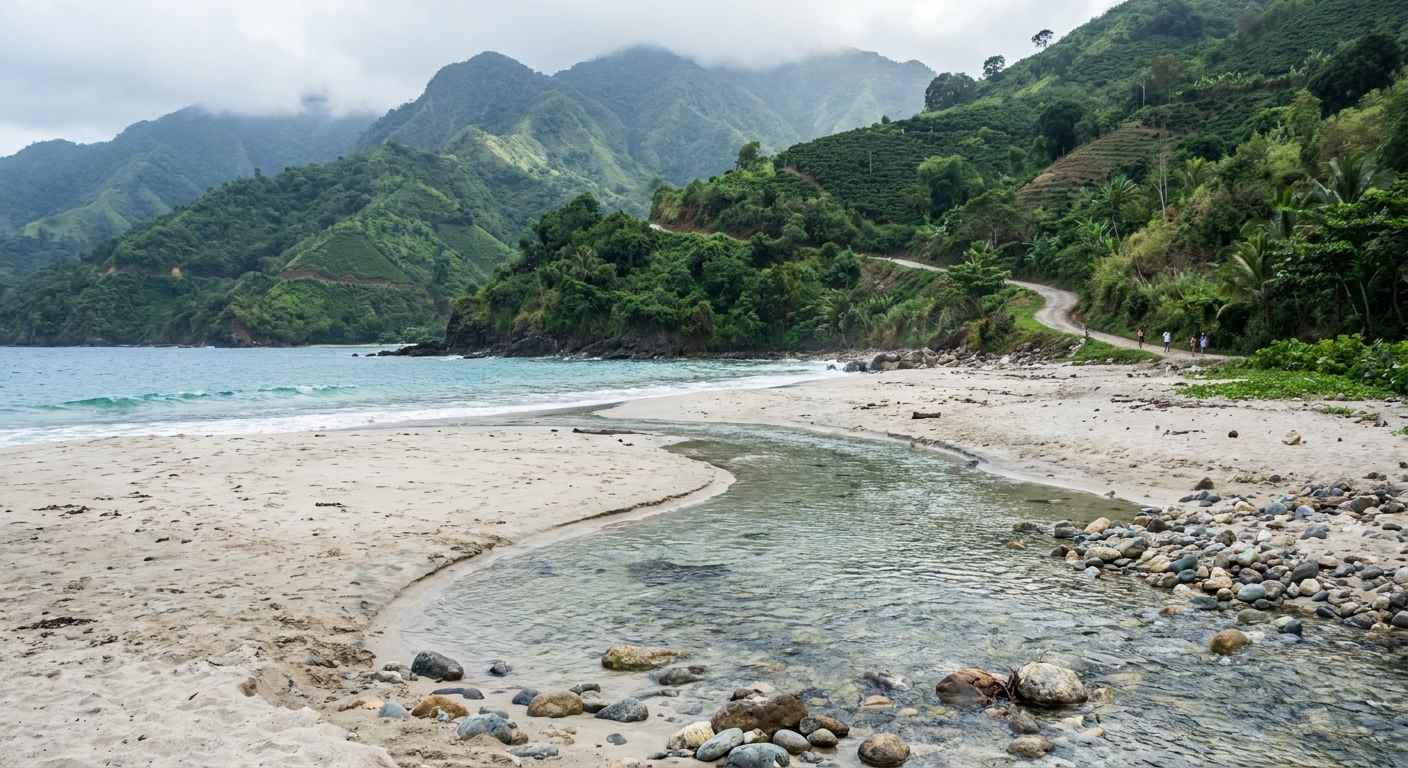
May pairs long light with warm water. The sea runs 84.4°F against April’s 82.9°F (both Marine API daily maxima), so a dawn swim before a heritage walk is warmer than it is four weeks earlier. With 13 hours 02 minutes of daylight on the 15th, you can give the town the morning and the mountains the early afternoon without racing the dark.
Start on the Titchfield Peninsula, the first place in the area settled by the English and the oldest part of Port Antonio. Fort George stands on it, and so does DeMontevin Lodge, an eclectic piece of Victorian architecture. The Port Antonio Court House went up in 1895, and Christ Church, the Portland parish church, stands on land indentured on September 3, 1836. Folly Point Lighthouse, built in 1888, has a masonry tower designed to be fireproof. Inland, Moore Town is still governed by a Colonel, and UNESCO listed its Maroon heritage as intangible cultural heritage in 2008. We found no opening hours or admission fees for any of these sites.
The buildings stay the same in every month. The air around them changes: the average high reaches 83.1°F, so walk the peninsula before 9 a.m. The Blue and John Crow Mountains, Jamaica’s first UNESCO World Heritage site in 2015, cover 26,251.6 hectares (about 64,870 acres) and climb from 850 m to 2,256 m (about 2,790 to 7,400 feet). Our coastal grid cell does not describe those heights, so bring a layer for any trip uphill.
We could not verify an admission fee for any Port Antonio site, so we can neither promise one as free nor quote one as paid. The peninsula’s streets are public. The walk past DeMontevin Lodge and the Court House costs nothing, and neither does the 5:31 a.m. sunrise. Before you set out, check our after-Hurricane Melissa guide for sites that may still be affected.
Port Antonio in May: a two-day itinerary
Day one. Be in the sea by 6 a.m., half an hour after sunrise. At 7:30, walk the Titchfield Peninsula from Fort George past DeMontevin Lodge, then on to the 1895 Court House, finishing before the heat builds. Spend late morning and early afternoon, when the day heads toward its 83.1°F average high, in shade or indoors. At 4:30 p.m. head out to Folly Point Lighthouse and stay until the 6:33 p.m. sunset. Hours at gated sites are unconfirmed, so plan to see these ones from outside.
Day two. Go inland early to Moore Town and the Maroon country, with transport set up through our getting-around guide or our driving guide if you rent a car. If the morning turns wet, keep off the mountain roads. Visit Christ Church instead, then drive west to Orange Bay Railway Station for its Jamaica Georgian features and on to Seaman’s Valley, where a great house lies in ruins beside the area’s first European cemetery. We found no rate for a Rio Grande raft, so confirm one locally before you commit.
Port Antonio in May vs April and June
| Normal | April | May | June |
|---|---|---|---|
| Average high | 82.1°F | 83.1°F | 84.1°F |
| Average low | 73.5°F | 75.3°F | 76.9°F |
| Precipitation | 2.58 in | 5.99 in | 5.01 in |
| Days with 0.10 in or more | 7.6 | 13.3 | 13.0 |
| Sea surface, daily maxima (2015-2024) | 82.9°F | 84.4°F | 84.8°F |
May is the wettest of the three: 5.99 inches against 2.58 in April and 5.01 in June, with wet days climbing from 7.6 to 13.3 before easing to 13.0. Highs rise by one degree a month, from 82.1°F to 83.1°F to 84.1°F, while lows climb 1.8°F into May and 1.6°F into June. The air figures share one source, the ERA5 grid cell for 1991-2020. The sea comes from the Marine API for 2015-2024 and warms 1.5°F from April into May, then only 0.4°F into June.
Move four weeks earlier to Port Antonio in April and you drop 3.41 inches of rain and 5.7 wet days, but the sea is 1.5°F cooler and nights are 1.8°F fresher. Move four weeks later to Port Antonio in June and you shed only 0.98 inch of rain and 0.3 wet day. The sea gains 0.4°F, and your trip falls inside the hurricane season.
Is May a good time to visit Port Antonio?
Yes, if you swim, walk heritage streets early and can move plans around showers: a sea at 84.4°F and 13 hours of light cover a lot. No, if your trip depends on dry days in a row, a beach wedding or a mountain hike with a fixed date. With 13.3 wet days on average, May leaves too little margin for plans that can’t move.
If that second profile sounds like you, choose April. It averages 7.6 wet days and 2.58 inches of rain, and the sea still reaches 82.9°F at its daily peak. Our best-time guide sets April and May against the rest of the Jamaican year.
Of the three months set side by side, only May pairs a sea above 84°F with dates that fall before the hurricane season opens.
The last word
Book May if a warm sea matters more to you than a dry sky, and plan your days around a 5:31 a.m. sunrise. Save a clear morning for the road inland: beyond Moore Town, Maroon history runs to Nanny Town, named after the leader of the first Maroon war, and to Charles Town near Buff Bay, which grew up around 1754. Get back to the coast in time to reach Folly Point before the 6:33 p.m. sunset.
Sources & data for this guide
- Air normals and rain days for April, May and June · Open-Meteo / ECMWF ERA5 reanalysis, 1991-2020, grid cell 18.1789, -76.4522 · a model estimate for the cell over Port Antonio, not a station reading · checked Sep 24, 2026
- Sea surface temperature, April to June · Open-Meteo Marine API, mean of daily maxima 2015-2024, a shade warmer than a 24-hour mean · checked Sep 24, 2026
- Sunrise, sunset and daylight on May 15 · sunrise-sunset.org, converted from UTC to Jamaica time (UTC-5) · checked Sep 24, 2026
- Titchfield Peninsula, Fort George, DeMontevin Lodge, Court House, Folly Point, Christ Church, Maroon villages, Orange Bay, Seaman’s Valley · Jamaica National Heritage Trust, Portland Heritage Sites · checked Sep 24, 2026
- Blue and John Crow Mountains and Moore Town Maroon heritage · UNESCO World Heritage Centre, property 1356 · checked Sep 24, 2026
- We found no opening hours, admission fees or Rio Grande raft rates, no wind or swell data, no occupancy series and no lodging-tax rate. The Trust describes monuments but does not publish visiting times. Check with operators when you book.