
FLORIDA · BY CAR · US-1 · MM 127 TO MM 0
A few bridges into the Keys, the Atlantic sits on one side of the car and Florida Bay on the other, and the driving stops feeling like transportation. The Overseas Highway crosses open water on 42 bridges, and in 2009 the Federal Highway Administration designated it the first All-American Road in the United States and in Florida. The green mile markers do the rest of the work. They begin at 127 in Florida City, on the mainland, and count down to zero in Key West, so you always know how much road is left.
Three drives account for most of what people mean by a Florida road trip. One runs south on a single road to that zero. One runs north along the barrier islands on the A1A, through the beach towns. One cuts west across the Everglades on the Tamiami Trail toward the Gulf. They share almost nothing except the rental counter you start from and the state’s habit of putting an hour of pavement between two places that look adjacent on a map.
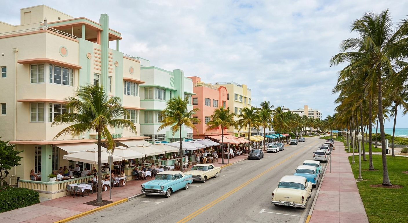
THE DRIVE AT A GLANCE · FLORIDA
If you drive one Florida route, drive the Overseas Highway, give it three days at least (est.), and settle the toll question at the rental counter before you leave the lot.
US-1 · MM 127 TO MM 0 · 42 BRIDGES · HURRICANE SEASON JUN 1 TO NOV 30
Go for: water on both sides of the windshield, a mile-marker count that tells you exactly how far is left, and Everglades stops no shuttle will ever serve.
Think twice before: booking a nonrefundable car and nonrefundable beds between mid-August and mid-October, the stretch NOAA calls the season’s most active.
Mile markers and bridges: Florida Keys tourism board · Tolls: Florida’s Turnpike Enterprise · Storm season: NOAA National Hurricane Center · full sources at the end
On this page
- Which of the three routes to driveUS-1, the A1A, the Tamiami Trail
- Miami to Key West, stop by stopThe five legs, MM 127 to MM 0
- Why the map’s two hours takes longerFlorida driving times
- Where the bed goes each nightSix stops, from Homestead to Key West
- Tolls when the car is rentedSunPass, invoices, the $2.50 fee
- Driving June through NovemberHurricane season on the road
The order of the stops, the length of each leg and the paperwork attached to the car are what change a Florida week.
Three Florida road trips: US-1 to Key West, the A1A, the Tamiami Trail
| Route | How long | Who it suits | The flaw |
|---|---|---|---|
| Overseas Highway (US-1) Florida City to Key West |
3 to 4 nights (est.) | Couples, divers, anyone who wants water on both sides of the car | One road down, one road back. An accident ahead of you becomes your afternoon |
| Atlantic coast (A1A) Miami north through the beach towns to St. Augustine |
4 to 6 nights (est.) | First-timers who want towns, surf and Spanish old town at the far end | The A1A keeps ending and handing you back to US-1. The scenic version costs patience |
| Tamiami Trail (US-41) Miami west across the Everglades to Naples |
One long day, or 2 nights with the Gulf coast (est.) | Wildlife, Shark Valley, the Gulf beaches as a reward | Nothing happens at highway speed here. Everything worth the drive is at a stop you have to plan |
Pick by what you want through the windshield. Combining two of these routes means crossing Miami again in the middle of the week, so most trips take one route and give it the days it deserves. If you are still weighing regions rather than roads, our Florida orientation sorts the state into its seven versions first.
Overseas Highway mile markers: MM 127 to MM 0
| Leg | Mile markers | Why you stop | The catch |
|---|---|---|---|
| Florida City → Key Largo | 127 into the low 100s | Last mainland groceries and fuel, then reef and snorkel boats once you reach Key Largo | One lane of options. There is no parallel route across the marsh |
| Key Largo → Islamorada | 100s into the 80s | Sandbar water, fishing docks, the first roadside stops that justify braking | Attractions sit tight together. Three of them turn a short leg into a morning |
| Islamorada → Marathon | 80s into the 50s | The working middle of the Keys: supermarkets, mechanics, a place to reset the trip | It reads as a town rather than a scene. Drivers chasing postcards keep rolling |
| Marathon → Big Pine & the Lower Keys | 40s into the 30s | The Seven Mile Bridge, Bahia Honda’s beach and sandbars, Key deer country | Deer signs mean your night driving here is slower than any estimate |
| Lower Keys → Key West | 20s down to 0 | Old Town, the sunset crowd at Mallory Square, the last green sign | Parking is the real arrival problem. Choose lodging with a space or park once and walk |
Mile-marker ranges for the middle Keys above are approximate. The two anchored numbers come from the Keys tourism board: 127 in Florida City and 0 in Key West, counting down the whole way. That descending count is what makes the road legible from the driver’s seat. You are never guessing whether the next town is close.
Leave after breakfast rather than at dawn, and the day works: reef time or a swim in the morning, lunch in Islamorada or Marathon, Key West well before the sun does anything. Going the other way, the return to the mainland is a single leg with no detours available, so build it as a driving day and not as a sightseeing one.
Florida drive times and distances by route
Start with the Everglades, because it teaches the lesson fastest. The National Park Service states that each of the park’s three entrances, plus the Flamingo Visitor Center inside it, sits at least a one-hour drive from the others. A single green rectangle on the map is a region, and “a day in the Everglades” is really a choice of one door. The Everglades guide takes those doors one at a time.
Then the Keys. Visit Florida Keys puts Miami to the start of the Keys at 50 miles, about one hour. Note where that hour begins: at the city, not at the rental garage. Shuttle, counter, contract, fuel policy and the crawl out of the airport all happen before the odometer starts telling the truth, and a flight landing at four means the first Keys bridge arrives in the dark.
So plan by arrival town rather than by distance covered. Name the place you sleep, give each driving day one fixed stop and one you can drop, and leave the last hour of daylight unspoken for. Every Florida route here punishes the schedule that assumes an unbroken average speed.
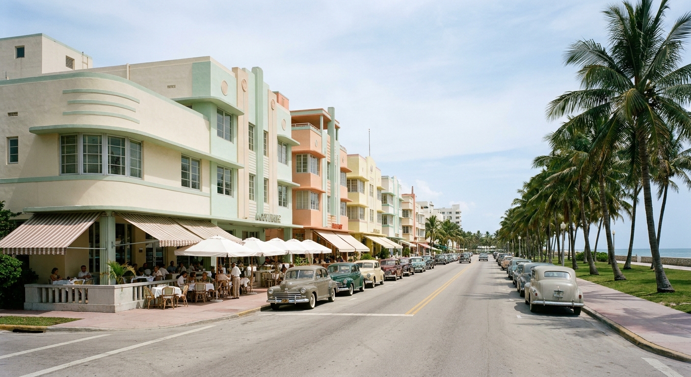
Where to sleep between Miami and Key West
| Stop | What it gives | Who it’s for | The flaw |
|---|---|---|---|
| Homestead / Florida City | A mainland base for the park’s main entrance and for MM 127 in the morning | Late arrivals at MIA who want the Keys drive fresh | Nothing to walk to after dark. It is a launch pad and nothing more |
| Key Largo | The first Keys night, with reef boats leaving early | Divers and snorkelers | Close enough to Miami that weekend traffic follows you down |
| Islamorada | Sandbars, water views, the best eating on the upper Keys | Couples on three nights or fewer | Strung along the highway, so dinner usually means driving again |
| Marathon | The practical middle, with the Seven Mile Bridge at the door | Families splitting the drive in half | A working town rather than a destination |
| Big Pine & the Lower Keys | Quiet nights, deer at dusk, Bahia Honda within reach | Drivers who want the Keys without Duval Street volume | Thin services after dark and slow night driving |
| Key West | The end of the count, sunset at Mallory Square, no more car | Everyone, for two nights at least | Old Town parking, which you solve when you book, not when you arrive |
Book Key West first and hang the rest of the week off it. Two nights at the end of the road change the trip more than two extra stops in the middle, and moving hotels every single night turns a short route into a luggage exercise.
The other two routes sleep differently. On the Tamiami Trail, the beds are at the ends, in Miami and around Naples, with Everglades City as the western door for anyone paddling the Ten Thousand Islands. On the A1A, the towns themselves do the work, and three nights in two of them beat six one-night stands along the coast.
Tolls in a rental car in Florida: SunPass, TOLL-BY-PLATE and the fees
In a car you own, Florida’s electronic tolling is simple enough. Drive through the gantry without a transponder and Florida’s Turnpike Enterprise mails a Toll Enforcement Invoice to the vehicle’s registered owner, covering the tolls incurred over a 30-day period, plus a $2.50 administrative fee.
That option closes at the rental counter. The Turnpike states flatly that the TOLL-BY-PLATE payment option is not available for customers in rental cars. The registered owner of the car you are driving is a rental company, and the company has already decided how it wants to be paid.
According to the Turnpike, most rental companies run their own program to include tolls in the rental agreement. Some read license plates by photo, others put SunPass transponders in the vehicles, and each company has a different payment arrangement. Ask two questions at the counter: what triggers a charge, and how that charge appears on the final bill. The answer at one brand tells you nothing about the next.
There is a way around the whole conversation. You may use your own SunPass Portable transponder and add the rental vehicle to your account at SunPass.com, and the Turnpike notes that SunPass customers always pay the lowest toll amount, averaging 25% less than TOLL-BY-PLATE. One obligation comes with it: take the transponder out of the car when you return it, or you will keep paying for someone else’s tolls.
Driving Florida in hurricane season: June through November
The National Hurricane Center dates the Atlantic hurricane season June 1 to November 30, with the peak on September 10 and most activity falling between mid-August and mid-October. For a driver, the number that matters is not wind speed but exits, and the Keys have one.
A storm approaching south Florida shows up in your week as bridges closed to high-profile traffic, an evacuation order that sends the entire island chain back up the same US-1 you drove down, and rental returns rescheduled by a company with its own weather policy. Book refundable beds and a cancelable car for any drive in that window, and check what your travel insurance treats as a named storm before you pay for it.
December through April removes all of that and adds dry-season wildlife along the Everglades stops. The trade is traffic and rates at their yearly peak, month by month, in the Everglades calendar. Drivers weighing a winter escape can also see how the region ranks against other trips in Where to Go in December.
The last word
Fly into Key West and you land at the end of a road with no idea what the end of the road means. Drive it, and the green numbers shrink all afternoon, past the sandbars, over the Seven Mile Bridge, through the deer country on Big Pine, until the last sign reads zero and the arrival has a shape a boarding gate cannot give you.
Two things earn their place on the way back north: an early morning at an Everglades entrance on the mainland, and a full tank before you leave Florida City. Sort the toll program at the counter, keep the last daylight hour free, and the route does the rest.
Sources & data for this guide
- Mile markers 127 to 0, the 42 bridges and the 2009 All-American Road designation · Florida Keys & Key West official tourism · checked Sep 14, 2026
- Miami to the start of the Keys, 50 miles and about one hour · Visit Florida Keys, drive times · checked Sep 14, 2026
- Everglades entrances at least one hour apart · National Park Service, directions · checked Sep 14, 2026
- TOLL-BY-PLATE invoices, the $2.50 administrative fee and the 25% SunPass comparison · Florida’s Turnpike Enterprise · checked Sep 14, 2026
- Rental cars excluded from TOLL-BY-PLATE, company programs and the portable transponder rule · Florida’s Turnpike Enterprise, rental vehicles · checked Sep 14, 2026
- Hurricane season dates and the September 10 peak · NOAA National Hurricane Center · checked Sep 14, 2026
- Night counts and mile-marker ranges for the middle Keys are our editorial estimates, marked (est.). We publish no drive times we cannot source, and toll programs change by company · confirm yours at the counter.